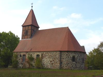
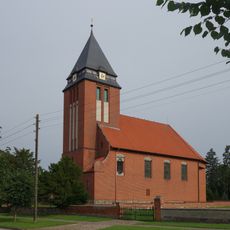
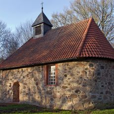
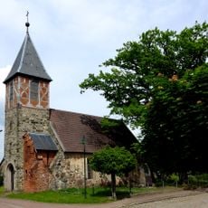
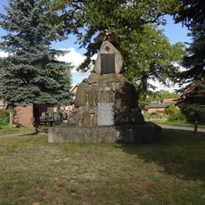
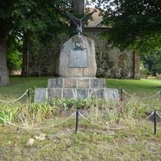
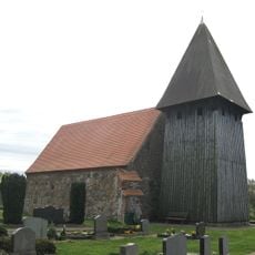
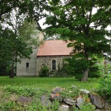
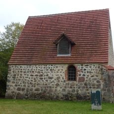
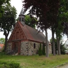
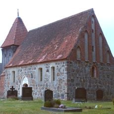
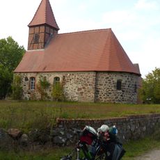
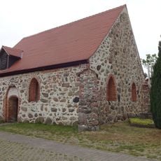
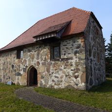
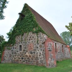
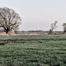
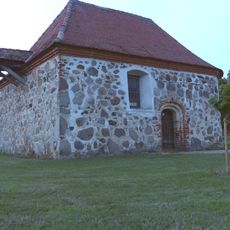
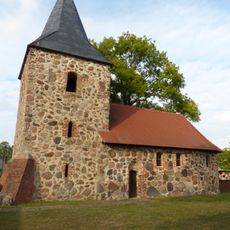
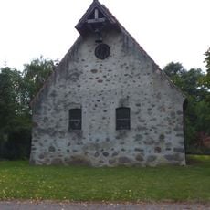
Dähre, municipality in Saxony-Anhalt, Germany
Location: Altmarkkreis Salzwedel
Elevation above the sea: 44 m
Shares border with: Wallstawe, Diesdorf
Website: https://gemeinde-daehre.de
GPS coordinates: 52.80056,10.90889
Latest update: April 21, 2025 13:27
Kloster Diesdorf
5.8 km
Freilichtmuseum Diesdorf
6.3 km
St. Andreas
170 m
Protestant Church Lagendorf
5.3 km
Großsteingräber bei Diesdorf
6.8 km
St. Antonius von Padua (Dähre)
35 m
Großsteingräber bei Schadewohl
6.7 km
St. Michael's Chapel (Müssingen, Soltendieck)
8.8 km
Großsteingrab Molmke
7.9 km
Dorfkirche Barnebeck
5 km
Kriegerdenkmal Diesdorf
6.1 km
Kriegerdenkmal Schadewohl
5.2 km
Kriegerdenkmal Siedendolsleben
2.1 km
Waldbad und Campingplatz Dähre
1.8 km
Dorfkirche Dahrendorf
5.5 km
Dorfkirche Hilmsen
4.1 km
Kirche Hohendolsleben
2.5 km
Dorfkirche Langenapel
4.3 km
Kirche Eickhorst
2.7 km
Kirche Winkelstedt
3.6 km
Kirche Kortenbeck
4.2 km
Dorfkirche Dülseberg
5 km
Protestant Church (Ellenberg)
4.1 km
Salzwedel-Diesdorf
4 km
Kirche Fahrendorf
3.2 km
Kirche Bonese
4.9 km
Kirche Deutschhorst
2.4 km
Kammmolch-Biotop nordöstlich Langenbrügge
11.9 kmVisited this place? Tap the stars to rate it and share your experience / photos with the community! Try now! You can cancel it anytime.
Discover hidden gems everywhere you go!
From secret cafés to breathtaking viewpoints, skip the crowded tourist spots and find places that match your style. Our app makes it easy with voice search, smart filtering, route optimization, and insider tips from travelers worldwide. Download now for the complete mobile experience.
A unique approach to discovering new places❞
— Le Figaro
All the places worth exploring❞
— France Info
A tailor-made excursion in just a few clicks❞
— 20 Minutes