
Lutzingen, municipality of Germany
Location: Dillingen
Elevation above the sea: 439 m
Part of: Verwaltungsgemeinschaft Höchstädt an der Donau
Website: https://vg-hoechstaedt.de/lutzingen
GPS coordinates: 48.65000,10.55000
Latest update: April 3, 2025 09:16
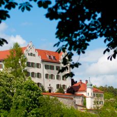
Schloss Duttenstein
7.8 km
Abbaye d'Unterliezheim
3.8 km
Stadtpfarrkirche Mariä Himmelfahrt (Höchstädt an der Donau)
4.5 km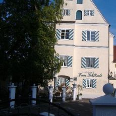
Schloss Unterfinningen
3.9 km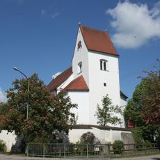
Maria Immaculata
2.2 km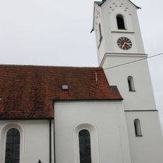
St. Peter und Paul
4.5 km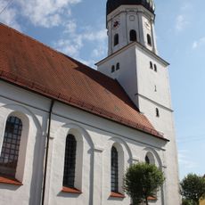
St. Nikolaus
3.6 km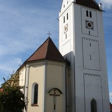
St. Martin
4.1 km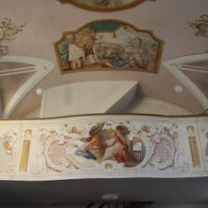
St. Nikolaus
4.9 km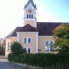
St. Johannes (Oberfinningen)
4.3 km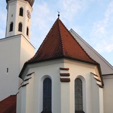
St. Veit
4.1 km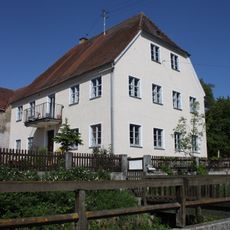
Rectory
2.2 km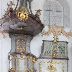
Kanzel
693 m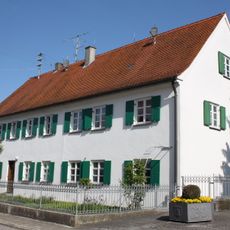
Rectory (Deisenhofen)
3.6 km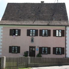
Rectory
5.4 km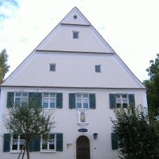
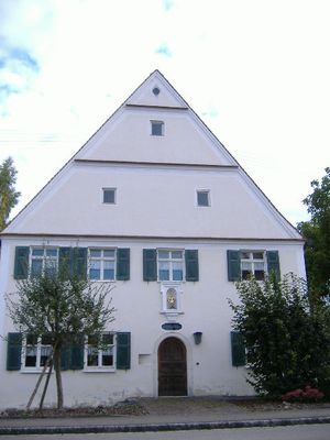
Pfarrhaus (Lutzingen)
697 m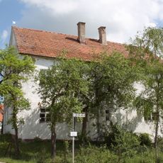
Ehemaliges Gasthaus
5.3 km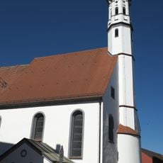
Spitalkirche Hl. Geist
4.4 km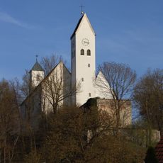
St. Ottilia
7.9 km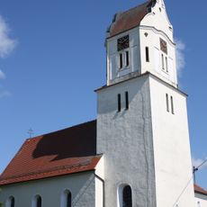
St. Oswald
2 km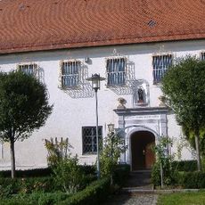
Kloster Unterliezheim
3.9 km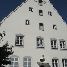
Pfarrhaus
4.4 km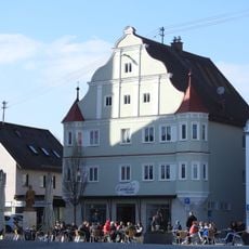
Bürgerhaus
4.4 km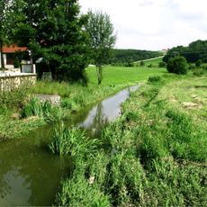
Riesalb mit Kesseltal
6.1 km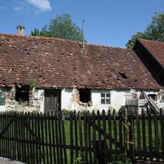
Bauernhaus
2.3 km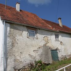
Ehemaliges Bauernhaus
5.3 km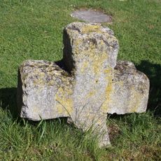
Sühnekreuz
2.1 km
Wohn- und Geschäftshaus
4.4 kmVisited this place? Tap the stars to rate it and share your experience / photos with the community! Try now! You can cancel it anytime.
Discover hidden gems everywhere you go!
From secret cafés to breathtaking viewpoints, skip the crowded tourist spots and find places that match your style. Our app makes it easy with voice search, smart filtering, route optimization, and insider tips from travelers worldwide. Download now for the complete mobile experience.

A unique approach to discovering new places❞
— Le Figaro
All the places worth exploring❞
— France Info
A tailor-made excursion in just a few clicks❞
— 20 Minutes