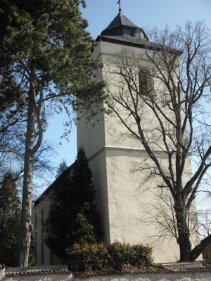
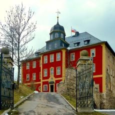
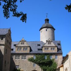
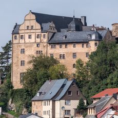
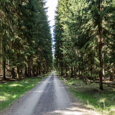
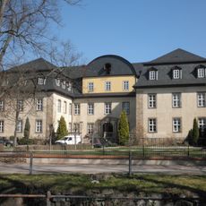
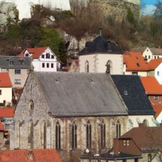
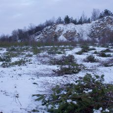
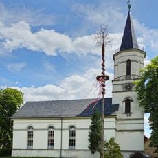
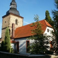
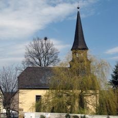
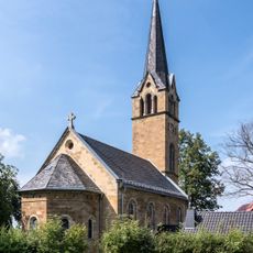
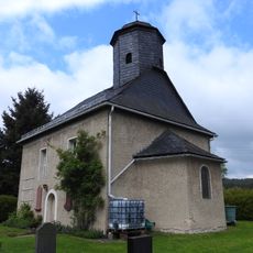
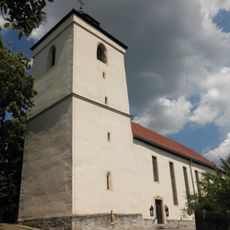
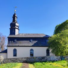
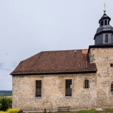
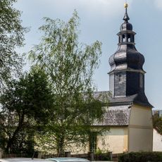
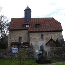
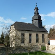
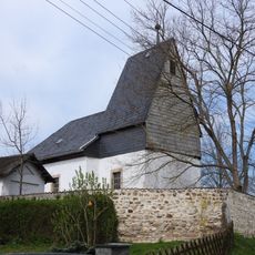
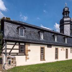
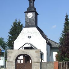
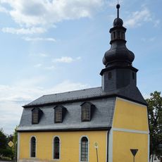
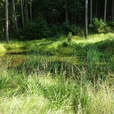
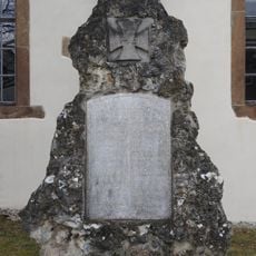
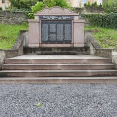
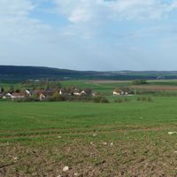
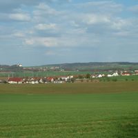
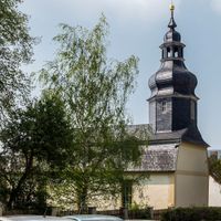
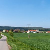
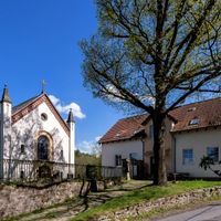
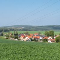
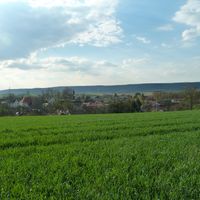
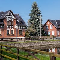
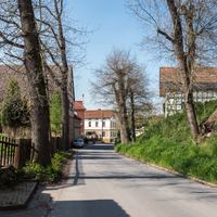
Krölpa, municipality of Germany
Location: Ranis-Ziegenrück
Location: Saale-Orla-Kreis
Elevation above the sea: 250 m
Shares border with: Pößneck, Ranis, Langenorla
Website: http://gemeinde-kroelpa.de
GPS coordinates: 50.67500,11.53750
Latest update: March 3, 2025 02:35
Schloss Brandenstein
1.5 km
Ranis
2.3 km
Schloss Könitz
4.3 km
Uhlstädter Heide
5.7 km
Schloss Krölpa
336 m
St. Margarethen
2.4 km
Buchenberg bei Krölpa
1.4 km
Protestant Church
5.2 km
Dorfkirche Uhlstädt
9 km
Saint Martin Church
6.8 km
St. Nikolaus
6.1 km
Protestant Church (Könitz)
4.4 km
Protestant Church Trannroda
2.2 km
Protestant Church Friedebach
5.2 km
St. Peter and Paul (Krölpa)
523 m
Protestant Church Gräfendorf
1.8 km
Protestant Church Seisla
2.7 km
Protestant Church Rockendorf
1.2 km
Protestant Church Schlettwein
2.9 km
St. Urban (Oelsen)
2.9 km
Protestant Church Hütten (Krölpa)
5.5 km
Protestant Church (Bucha)
5.7 km
Besucherbergwerk Kamsdorf
5.9 km
Protestant Church (Birkigt)
3.7 km
Protestant Church Dobian
2.7 km
Vordere und Hintere Heide südlich Uhlstädt
4 km
War memorial Bucha (Unterwellenborn)
5.7 km
War memorial Öpitz
2.8 kmReviews
Visited this place? Tap the stars to rate it and share your experience / photos with the community! Try now! You can cancel it anytime.
Discover hidden gems everywhere you go!
From secret cafés to breathtaking viewpoints, skip the crowded tourist spots and find places that match your style. Our app makes it easy with voice search, smart filtering, route optimization, and insider tips from travelers worldwide. Download now for the complete mobile experience.
A unique approach to discovering new places❞
— Le Figaro
All the places worth exploring❞
— France Info
A tailor-made excursion in just a few clicks❞
— 20 Minutes