
Frücht, municipality of Germany
Location: Bad Ems-Nassau
Elevation above the sea: 260 m
Website: http://fruecht.info
GPS coordinates: 50.31361,7.67750
Latest update: March 17, 2025 20:21
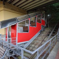
Malbergbahn
3.2 km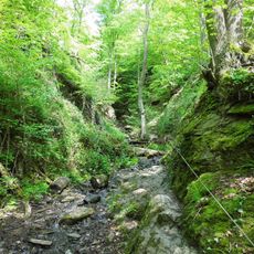
Ruppertsklamm
3.4 km
Emser Therme
3.3 km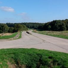
Standortübungsplatz Koblenz-Schmidtenhöhe
3.7 km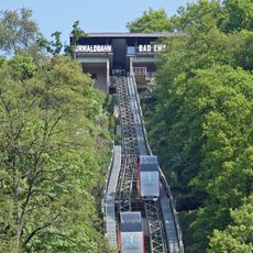
Kurwaldbahn
3.9 km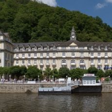
Kurhaus Bad Ems
4.1 km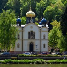
St. Alexandra-Kirche
3.7 km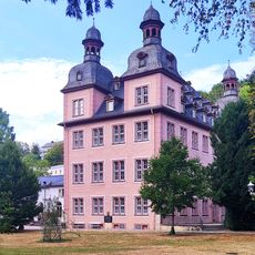
Karlsburg
3.7 km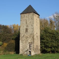
Burg Mühlenbach
4.4 km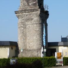
Bismarck Tower
4 km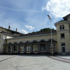
Bad Ems station
4 km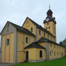
Martinskirche
3.6 km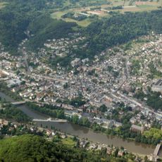
Silberau
2.9 km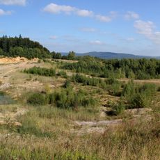
Tongrube auf Escherfeld
2.7 km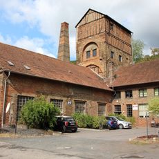
Nieverner Huette
2.3 km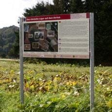
Römisches Militärlager Auf dem Ehrlich
4.1 km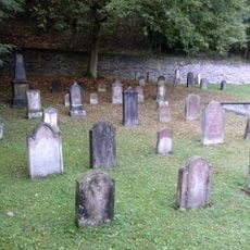
Jewish cemetery, Bad Ems
3.6 km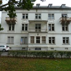
Mainzer Haus
4.1 km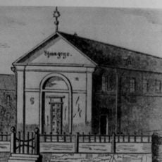
Synagogue
3.5 km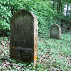
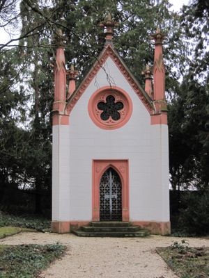
Jüdischer Friedhof
469 m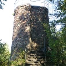
Malbergturm
3 km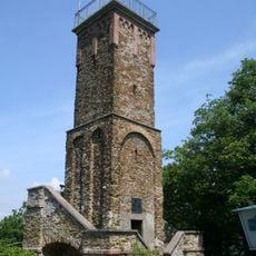
Concordia Tower
4.4 km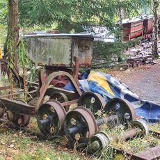
Emser Bergbaumuseum
5 km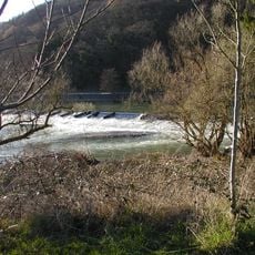
Nieverner Wehr
2.5 km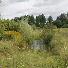
Lahnhänge
4.4 km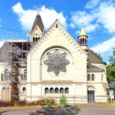
Orgel der Ev. Kaiser-Wilhelm-Kirche
3.8 km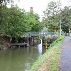
Schleuse Nievern
2.2 km
Kastell Bad Ems
3.5 kmVisited this place? Tap the stars to rate it and share your experience / photos with the community! Try now! You can cancel it anytime.
Discover hidden gems everywhere you go!
From secret cafés to breathtaking viewpoints, skip the crowded tourist spots and find places that match your style. Our app makes it easy with voice search, smart filtering, route optimization, and insider tips from travelers worldwide. Download now for the complete mobile experience.

A unique approach to discovering new places❞
— Le Figaro
All the places worth exploring❞
— France Info
A tailor-made excursion in just a few clicks❞
— 20 Minutes