
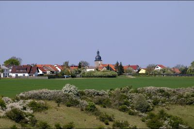
Gossel, municipality in Thuringia, Germany
Location: Geratal
Elevation above the sea: 490 m
Website: http://gemeinde-gossel.de
GPS coordinates: 50.79972,10.84972
Latest update: March 5, 2025 10:38
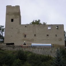
Liebenstein Castle
3.3 km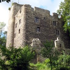
Ehrenburg
4 km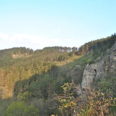
Jonastal
2 km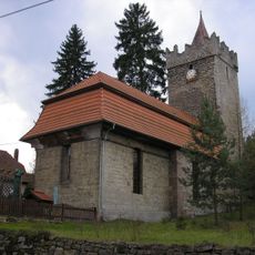
Fortified church in Kleinbreitenbach
5.7 km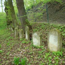
Jüdischer Friedhof Plaue
4 km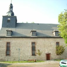
St. Crucis
5.1 km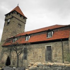
St. Remigius (Siegelbach)
6 km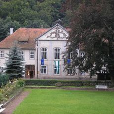
Röderschlösschen
3.5 km
Gottesholz
3.3 km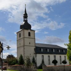
St. Marien
4.8 km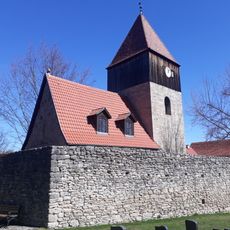
St. Crucis (Espenfeld)
3.3 km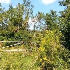
Ziegenried
5.8 km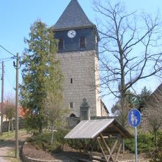
St. Otmar
4.6 km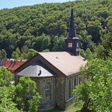
Protestant Church (Liebenstein)
3.5 km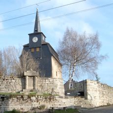
Protestant Church Rippersroda
5 km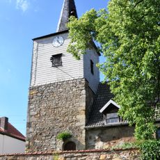
St. Nikolai (Röhrensee)
5.9 km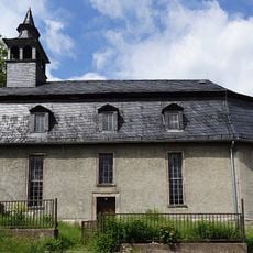
Sigismund Chapel Plaue
4 km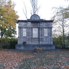
Gedenkstätte Espenfeld
4.5 km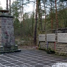
Gedenkstätte Jonastal
2.3 km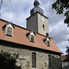
Protestant Church Gossel
139 m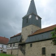
St. Ägidien (Bittstädt)
4.7 km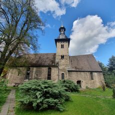
Protestant Church Plaue
4.5 km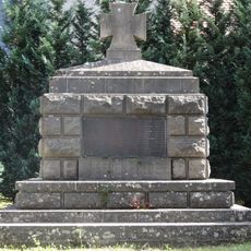
War memorial in Gossel
114 m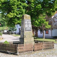
War memorial in Röhrensee
5.9 km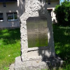
War memorial in Espenfeld
3.3 km
Erlebachwiesen bei Wölfis
6.1 km
War memorial Rippersroda
5 km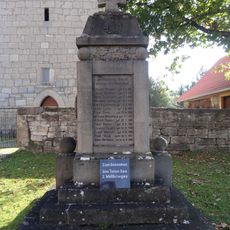
War memorial in Dosdorf
4.6 kmVisited this place? Tap the stars to rate it and share your experience / photos with the community! Try now! You can cancel it anytime.
Discover hidden gems everywhere you go!
From secret cafés to breathtaking viewpoints, skip the crowded tourist spots and find places that match your style. Our app makes it easy with voice search, smart filtering, route optimization, and insider tips from travelers worldwide. Download now for the complete mobile experience.

A unique approach to discovering new places❞
— Le Figaro
All the places worth exploring❞
— France Info
A tailor-made excursion in just a few clicks❞
— 20 Minutes