
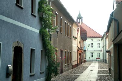
Ortrand, town in Germany
Location: Oberspreewald-Lausitz District
Elevation above the sea: 110 m
Shares border with: Kroppen, Frauendorf (Amt Ortrand)
Website: https://stadt-ortrand.de
GPS coordinates: 51.37583,13.75722
Latest update: March 7, 2025 17:02
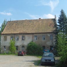
Lehnsmühlenschloss, Mühlgasse 2
404 m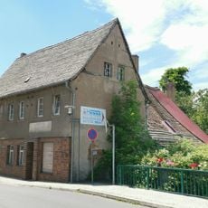
Färberei Hauptvogel Ortrand
219 m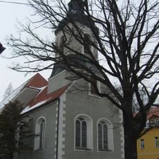
Stadtkirche St. Barbara
146 m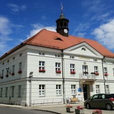
Rathaus
55 m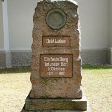
Lutherdenkmal
166 m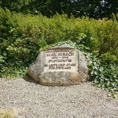
Denkmal für Max Hirsch
84 m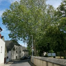
Naturdenkmal Platane auf dem Friedhof Ortrand
179 m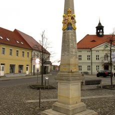
Postmeilensäule in Ortrand
13 m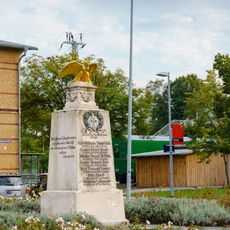
Gefallenendenkmal 1870/71
545 m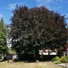
Naturdenkmal Rotbuche auf dem Friedhof Ortrand
213 m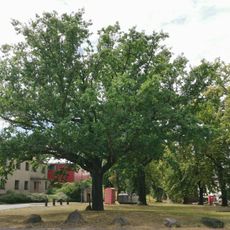
Friedens-Turner-Eiche
455 m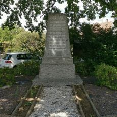
Kriegerdenkmal Burkersdorf
327 m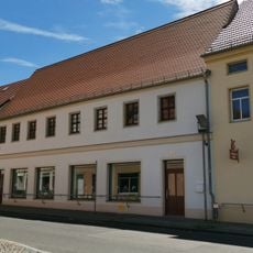
Bahnhofstraße 2
50 m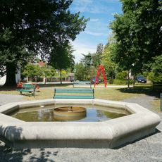
Brunnen auf dem Topfmarkt
127 m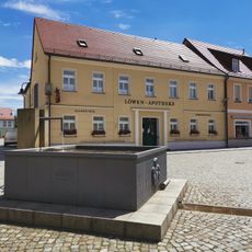
Brunnen auf dem Marktplatz
67 m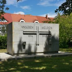
Kriegerdenkmal Erster Weltkrieg
143 m
Wegestein
1.8 km
Elsterwerdaer Straße 5
57 m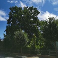
Naturdenkmal Stieleiche Bahnhofstraße im Pfarrgarten
316 m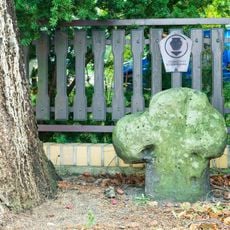
Steinkreuz Ortrand
207 m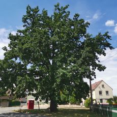
Naturdenkmal Stieleiche auf Schulplatz an der Frauendorfer Straße
602 m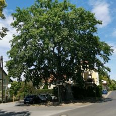
Naturdenkmal Stieleiche am Kriegerdenkmal
328 m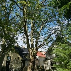
Naturdenkmal Platane auf dem Friedhof Ortrand
179 m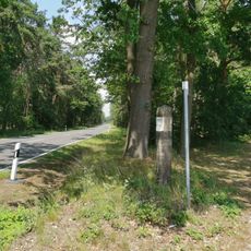
Wegweiser Burkersdorf
1.2 km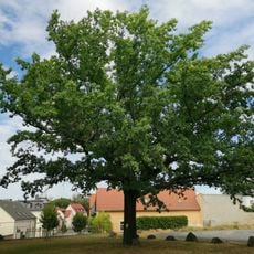
Luther-Eiche
471 m
Gutshaus Kleinkmehlen
1.2 km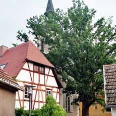
Naturdenkmal Stieleiche an der Kirche St. Barbara
128 m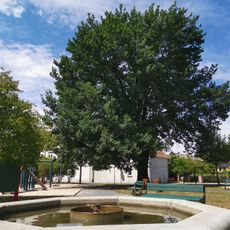
Naturdenkmal Stieleiche auf dem Topfmarkt
115 mVisited this place? Tap the stars to rate it and share your experience / photos with the community! Try now! You can cancel it anytime.
Discover hidden gems everywhere you go!
From secret cafés to breathtaking viewpoints, skip the crowded tourist spots and find places that match your style. Our app makes it easy with voice search, smart filtering, route optimization, and insider tips from travelers worldwide. Download now for the complete mobile experience.

A unique approach to discovering new places❞
— Le Figaro
All the places worth exploring❞
— France Info
A tailor-made excursion in just a few clicks❞
— 20 Minutes