
Grub am Forst, municipality of Germany
Location: Coburg
Elevation above the sea: 300 m
Part of: Verwaltungsgemeinschaft Grub am Forst
Website: http://grub-am-forst.de
GPS coordinates: 50.22953,11.02221
Latest update: March 7, 2025 09:25

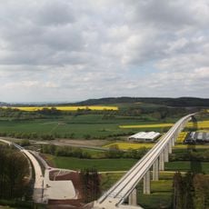
Füllbachtalbrücke
1.3 km
Schloss Niederfüllbach
2.6 km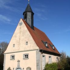
Evangelisch-lutherische Pfarrkirche (Niederfüllbach)
2.4 km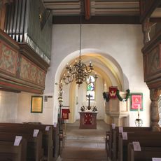
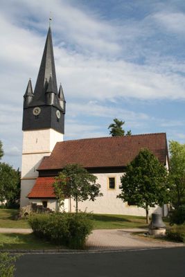
St. Giles (Grub am Forst)
78 m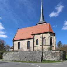
Pfarrkirche Unserer Lieben Frau
2.8 km
Füllbachtalbrücke
2.1 km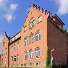
Volksschule Coburg-Creidlitz
3 km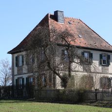
Forsthaus
1.6 km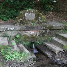
Brunnen
840 m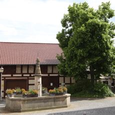
Brunnen
108 m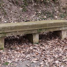
Sitzbank
2.4 km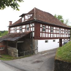
Wohnhaus
1.4 km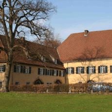
Schloss
2.4 km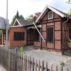
Empfangsgebäude
331 m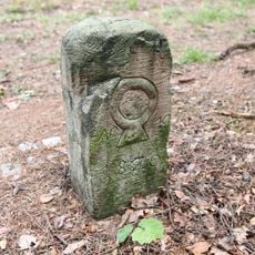
Grenzstein
2.3 km
Schule
3 km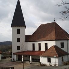
Pfarrkirche
3 km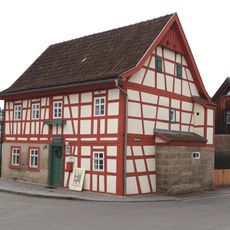
Wohnhaus
278 m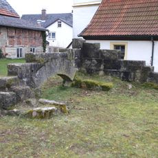
Grub am Forst ruins
68 m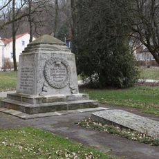
Kriegerdenkmal
2.5 km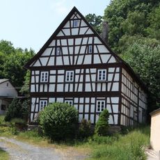
Cultural heritage D-4-73-121-15 in Ebersdorf bei Coburg
3.1 km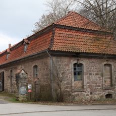
Schlossökonomie
2.4 km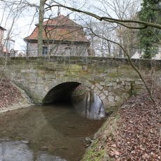
Steinbrücke
2.4 km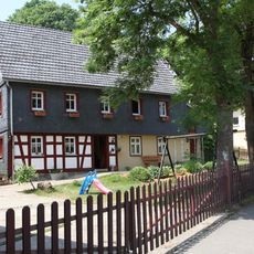
Cultural heritage D-4-73-121-16 in Ebersdorf bei Coburg
3.1 km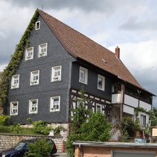
Wohnhaus
26 m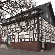
Gasthaus
95 m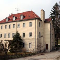
Schloß
3.1 km
Fledermaus-Winterquartiere im Coburger Land
1 kmReviews
Visited this place? Tap the stars to rate it and share your experience / photos with the community! Try now! You can cancel it anytime.
Discover hidden gems everywhere you go!
From secret cafés to breathtaking viewpoints, skip the crowded tourist spots and find places that match your style. Our app makes it easy with voice search, smart filtering, route optimization, and insider tips from travelers worldwide. Download now for the complete mobile experience.

A unique approach to discovering new places❞
— Le Figaro
All the places worth exploring❞
— France Info
A tailor-made excursion in just a few clicks❞
— 20 Minutes