
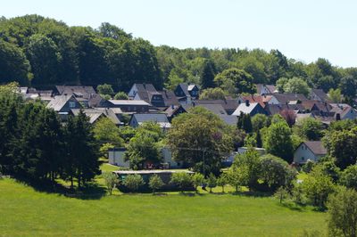
Bölsberg, municipality of Germany
Location: Bad Marienberg
Elevation above the sea: 470 m
Website: http://bad-marienberg.de
GPS coordinates: 50.66861,7.91500
Latest update: March 14, 2025 18:26
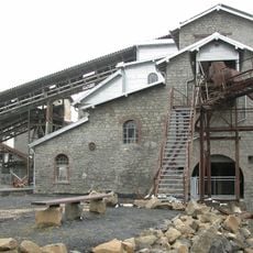
Tertiär- und Industrie-Erlebnispark Stöffel
5.9 km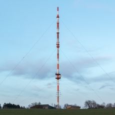
Sender Bad Marienberg
3.2 km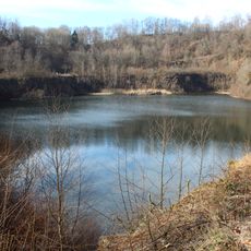
Basaltpark
3 km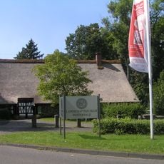
Landschaftsmuseum Westerwald
6 km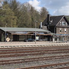
Nistertal-Bad Marienberg station
4.2 km
Bacher Lay
4.6 km
Rosenheimer Lay
7.1 km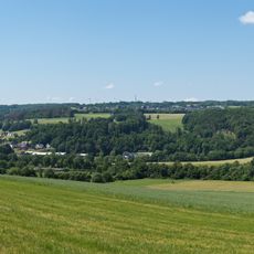
Gräbersberg
6.5 km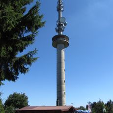
Gräbersberg Observation Tower
6.6 km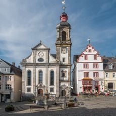
Hachenburg Abbey
6.5 km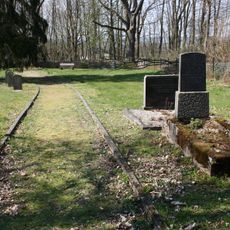
Jüdischer Friedhof
5.1 km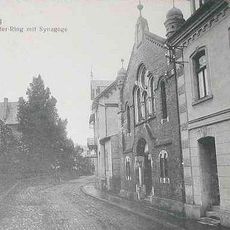
Synagogue
6.6 km
Großer Wolfstein
1.8 km
Nisteraue
3 km
Weidenbruch
6.2 km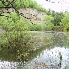
Schimmerich
7.1 km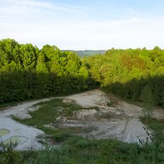
Galgenkopf
6.6 km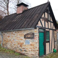
Backhaus
4 km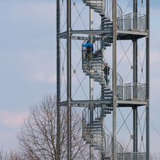
Hedwigsturm
2.4 km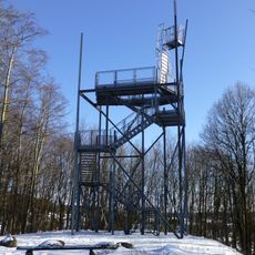
Stöffel Observation Tower
6.8 km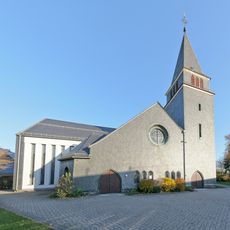
Mariä Heimsuchung
7.5 km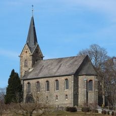
Evangelische Kirche Kirburg
971 m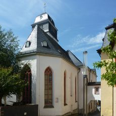
Schlosskirche
6.4 km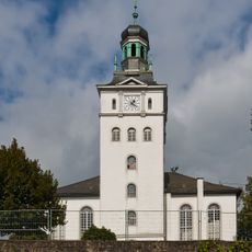
Evangelische Pfarrkirche
3.6 km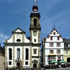
Maria Himmelfahrt
6.5 km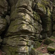
Marienberger Hoehe
814 m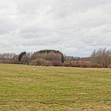
Neunkhausener Plateau
5.4 km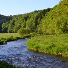
Nistertal und Kroppacher Schweiz
3.7 kmReviews
Visited this place? Tap the stars to rate it and share your experience / photos with the community! Try now! You can cancel it anytime.
Discover hidden gems everywhere you go!
From secret cafés to breathtaking viewpoints, skip the crowded tourist spots and find places that match your style. Our app makes it easy with voice search, smart filtering, route optimization, and insider tips from travelers worldwide. Download now for the complete mobile experience.

A unique approach to discovering new places❞
— Le Figaro
All the places worth exploring❞
— France Info
A tailor-made excursion in just a few clicks❞
— 20 Minutes