
Günthersleben-Wechmar, former municipality of Germany
Location: Drei Gleichen
Inception: December 31, 1997
Elevation above the sea: 303 m
Website: http://wechmar-bach.de
GPS coordinates: 50.90000,10.77500
Latest update: April 28, 2025 11:00
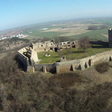
Burg Gleichen
5 km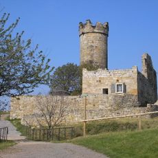
Mühlburg
5.3 km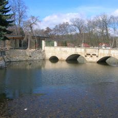
Wasserschloss Günthersleben
1.2 km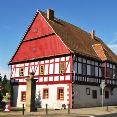
Henningshof
5.2 km
Siebleber Teich
4 km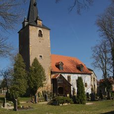
Kirche Cobstädt
5 km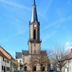
St. Viti (Wechmar)
978 m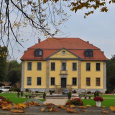
Schloss Mönchhof Siebleben
5.2 km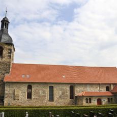
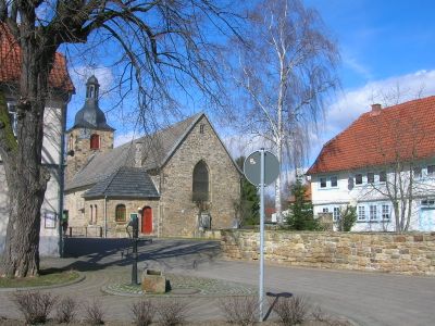
St. Petri (Günthersleben)
874 m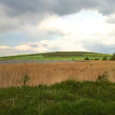
Schloßleite
5.8 km
Röhnberg
3.9 km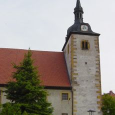
St. Lukas (Mühlberg)
5 km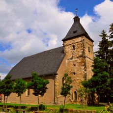
St. Johannis
5.4 km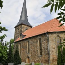
St. Viti (Tüttleben)
5.1 km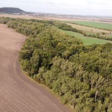
Apfelstädtaue zwischen Wechmar und Wandersleben
3.9 km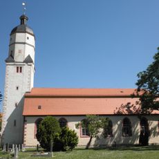
St. Petri (Wandersleben)
5.6 km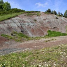
Seeberg
2.6 km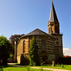
St. Bonifatius
5.4 km
Wechmar, Landhaus Studnitz
1 km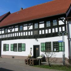
Bach-Stammhaus
972 m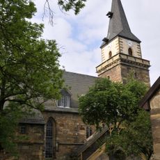
St. Georg (Seebergen)
3 km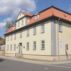
Menantesstraße 31
5.5 km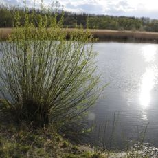
Sieblebener Teich
4 km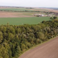
Apfelstädtaue zwischen Wechmar und Neudietendorf
4.7 km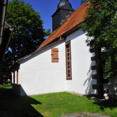
Protestant Church Petriroda
6.2 km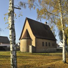
Protestant Church (Töpfleben)
3.6 km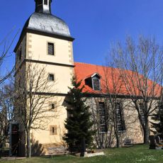
St. Trinitatis (Schwabhausen)
3.1 km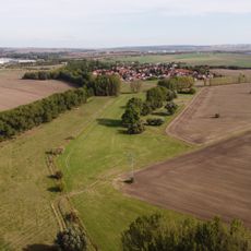
Drei Gleichen
6 kmVisited this place? Tap the stars to rate it and share your experience / photos with the community! Try now! You can cancel it anytime.
Discover hidden gems everywhere you go!
From secret cafés to breathtaking viewpoints, skip the crowded tourist spots and find places that match your style. Our app makes it easy with voice search, smart filtering, route optimization, and insider tips from travelers worldwide. Download now for the complete mobile experience.

A unique approach to discovering new places❞
— Le Figaro
All the places worth exploring❞
— France Info
A tailor-made excursion in just a few clicks❞
— 20 Minutes