
Vinningen, municipality in Rhineland-Palatinate, Germany
Location: Pirmasens-Land
Elevation above the sea: 440 m
Website: http://vinningen.de
GPS coordinates: 49.15611,7.55139
Latest update: March 16, 2025 22:52
Dynamikum
6.2 km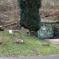
Siegfried Line Museum, Pirmasens
3.8 km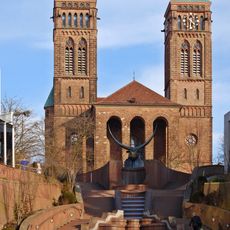
Sankt Pirminius Church in Pirmasens
6.3 km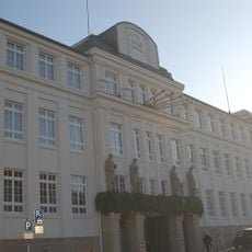
Neuffer (Schuhfabrik)
6.9 km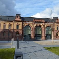
Former post office, Pirmasens
6.3 km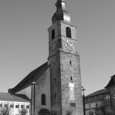
Johanneskirche in Pirmasens, Germany
6.5 km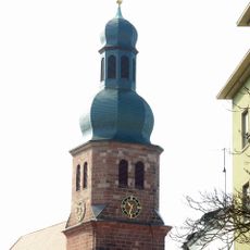
Lutherkirche in Pirmasens
6.1 km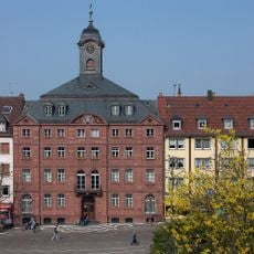
Altes Rathaus
6.3 km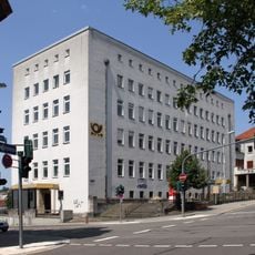
Hauptpost Pirmasens
6.4 km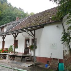
Hilster Mühle
3.5 km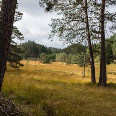
Wolfslöcher
5 km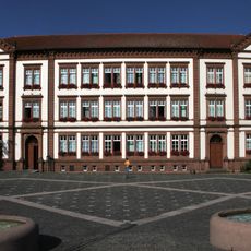
Neues Rathaus (Pirmasens)
6.4 km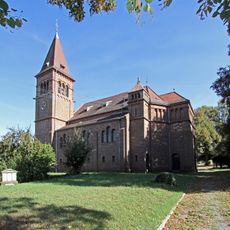
Protestant church Nünschweiler
8.2 km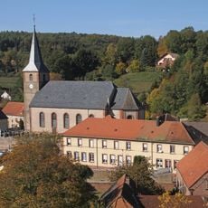
St. Benedict
5.1 km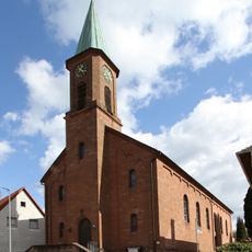
Saint Pirmin in Eppenbrunn
4.6 km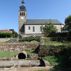
Église Saint-Wendelin de Liederschiedt
5.6 km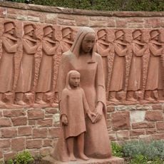
Kriegerdenkmal (Vinningen)
236 m
Kriegerdenkmal
5.1 km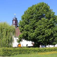
Evangelische Kirche
2.7 km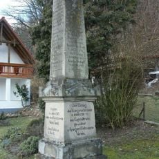
Veteranendenkmal 1866-1870-71 in Eppenbrunn
4.5 km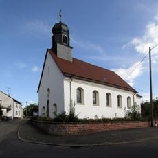
St. Joseph
3.9 km
Evangelische Kirche Hilst
3.8 km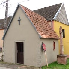
Chapelle de Walschbronn
5.4 km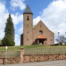
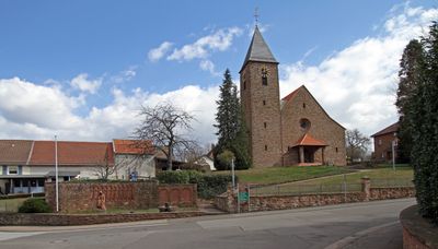
Church of Saint Sebastian in Vinningen
243 m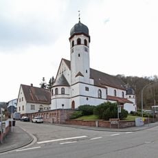
Church of Sacred Heart in Pirmasens-Niedersimten
4 km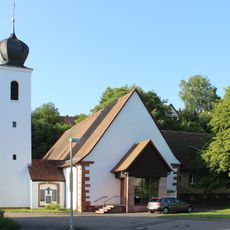
St. Jakobus Major (Kröppen)
2.1 km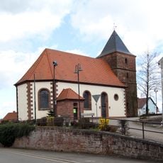
Former Church in Vinningen
354 m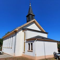
Chapelle Saint-Pie-X de Waldhouse
6.4 kmReviews
Visited this place? Tap the stars to rate it and share your experience / photos with the community! Try now! You can cancel it anytime.
Discover hidden gems everywhere you go!
From secret cafés to breathtaking viewpoints, skip the crowded tourist spots and find places that match your style. Our app makes it easy with voice search, smart filtering, route optimization, and insider tips from travelers worldwide. Download now for the complete mobile experience.

A unique approach to discovering new places❞
— Le Figaro
All the places worth exploring❞
— France Info
A tailor-made excursion in just a few clicks❞
— 20 Minutes