
Sollwitt, municipality of Germany
Location: Nordfriesland district
Elevation above the sea: 23 m
Website: http://sollwitt.de
GPS coordinates: 54.59472,9.22750
Latest update: April 2, 2025 13:01
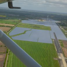
Eggebek Solar Park
8.4 km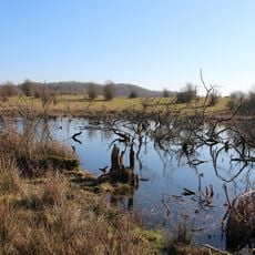
Treene Winderatter See bis Friedrichstadt und Bollingstedter Au
8.9 km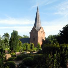
Drelsdorf Church
12.4 km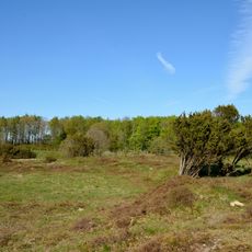
Düne am Rimmelsberg
4.3 km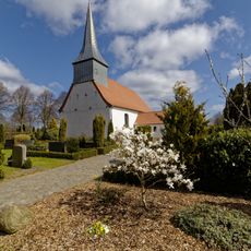
Großenwiehe Kirche
12.7 km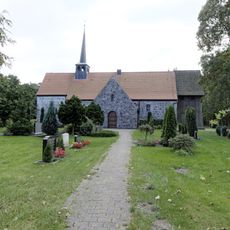
Wanderup Church
12.4 km
St. Katharinen-Kirche
5.4 km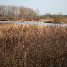
Ahrenviölfelder Westermoor
6.2 km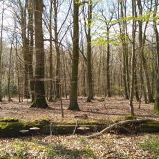
Immenstedter Wald
6.2 km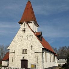
Treja church
10.6 km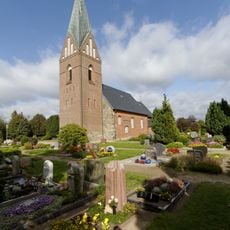
St. Petrus-Kirche
10.1 km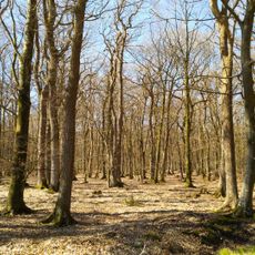
Pobüller Bauernwald
2.2 km
Löwenstedter Sandberge
6.2 km
Moorweiher im Staatsforst Drelsdorf
7.9 km
Gammellunder See
14.7 km
Schirlbusch
9 km
Dünen am Rimmelsberg
4.1 km
Tarp danske kirke
14.6 km
Ahrenviölfelder Westermoor
6.3 km
Quell- und Niedermoore der Arlauniederung
9.9 km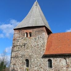
Schwesing Church
12.5 km
Kirche Jübek
11.6 km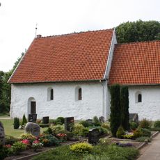
Olderup Church
9.8 km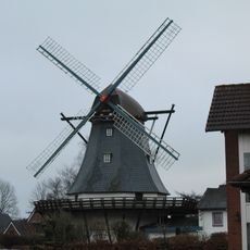
Tarp Windmill
13.4 km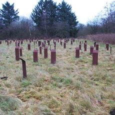
Husum-Schwesing
11.8 km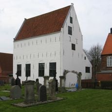
Mennoniten-Kirche (Bethaus) mit Ausstattung
15 km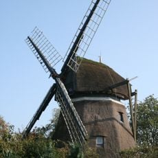
Windmühle
8.4 km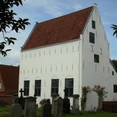
Mennoniten-Kirche (Bethaus)
15 kmReviews
Visited this place? Tap the stars to rate it and share your experience / photos with the community! Try now! You can cancel it anytime.
Discover hidden gems everywhere you go!
From secret cafés to breathtaking viewpoints, skip the crowded tourist spots and find places that match your style. Our app makes it easy with voice search, smart filtering, route optimization, and insider tips from travelers worldwide. Download now for the complete mobile experience.

A unique approach to discovering new places❞
— Le Figaro
All the places worth exploring❞
— France Info
A tailor-made excursion in just a few clicks❞
— 20 Minutes