
Brande-Hörnerkirchen, municipality of Germany
Location: Pinneberg
Elevation above the sea: 7 m
Website: http://vg-barmstedt-hoernerkirchen.de/index.php?NavID=2318.37&La=1
GPS coordinates: 53.85694,9.70667
Latest update: May 21, 2025 12:56
Heiligen-Geist-Kirche (Barmstedt)
8.8 km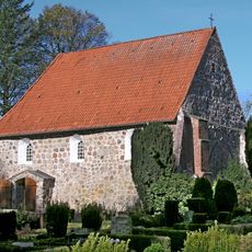
Kirche Stellau
8.1 km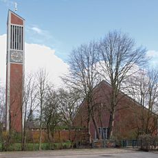
Thomaskirche
10 km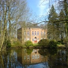
Museum der Grafschaft Rantzau
9 km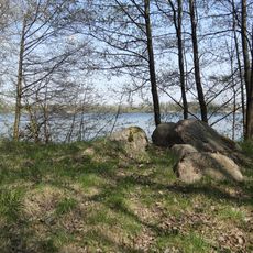
Baggersee Hohenfelde
6.7 km
Victor-Andersen-Haus
8.2 km
Winselmoor/Hörnerau-Niederung
3.2 km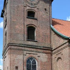
Kirche St. Nikolai
5.7 km
Kirchenstraße, Kirche
157 m
Kirchhof
8.1 km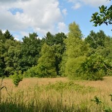
Hohenfelder Moor
5.9 km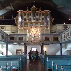
Heiligen-Geist-Kirche mit Ausstattung
8.8 km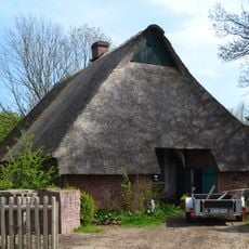
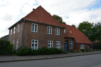
Dorfstraße 5, Wohnhaus
955 m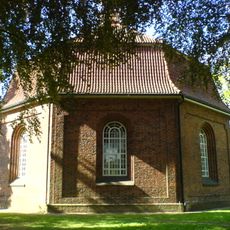
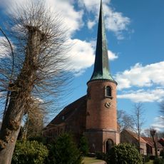
Kirche zu Hörnerkirchen
157 m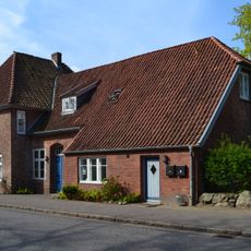
Kirchenstraße 5, Pastorat
193 m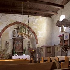
Kirche Stellau mit Ausstattung
8.1 km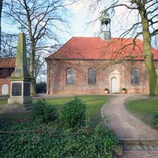
Kirche St. Jürgen
7.7 km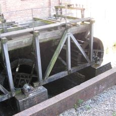
Wassermühle
9 km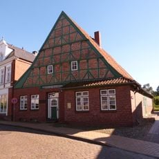
Haus Humburg
8.8 km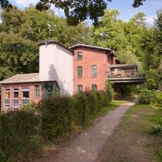
Weddelbrooker Wassermühle
9.2 km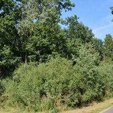
Horstmühle
8.8 km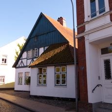
Wohnhaus
8.8 km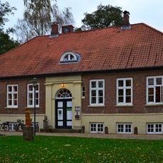
Gerichtsschreiberhaus
8.9 km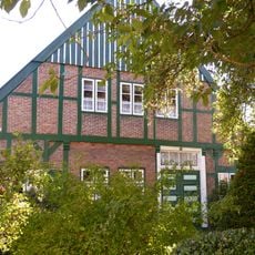
Fachhallenhaus
8.3 km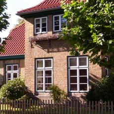
Wohnhaus
8.6 km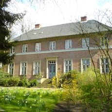
Sog. Schloss
9 km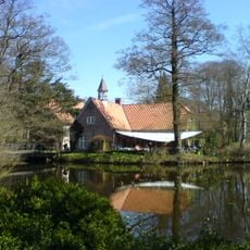
Gerichtsdienerhaus mit Gefängnis
8.9 km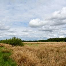
Moore der Breitenburger Niederung
4.6 kmVisited this place? Tap the stars to rate it and share your experience / photos with the community! Try now! You can cancel it anytime.
Discover hidden gems everywhere you go!
From secret cafés to breathtaking viewpoints, skip the crowded tourist spots and find places that match your style. Our app makes it easy with voice search, smart filtering, route optimization, and insider tips from travelers worldwide. Download now for the complete mobile experience.

A unique approach to discovering new places❞
— Le Figaro
All the places worth exploring❞
— France Info
A tailor-made excursion in just a few clicks❞
— 20 Minutes