
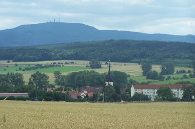
Mechterstädt, village in Germany
Location: Hörsel
Elevation above the sea: 274 m
Website: http://mechterstaedt.de
GPS coordinates: 50.94167,10.52333
Latest update: March 30, 2025 03:04
Friedrichswerth palace
5.8 km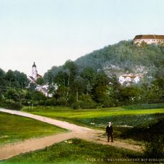
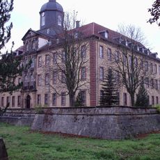
Schloss Tenneberg
5.5 km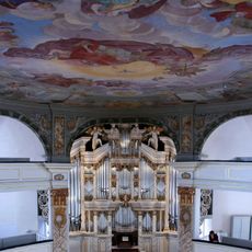
Pipe organ of Stadtkirche Waltershausen
5.4 km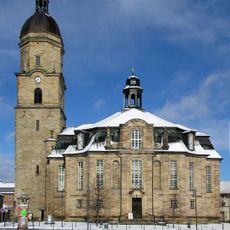
Stadtkirche Waltershausen
5.4 km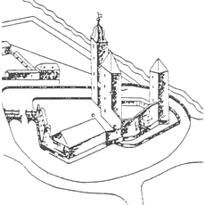
Wasserburg Erffa
5.8 km
Heimatmuseum Schloss Tenneberg
5.5 km
Hörselberghaus
4.6 km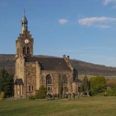
Lutherkirche
4.4 km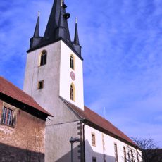
Marienkirche (Mechterstädt)
101 m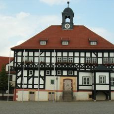
Rathaus
5.4 km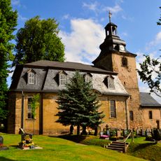
St. Maria Magdalena (Langenhain)
4.1 km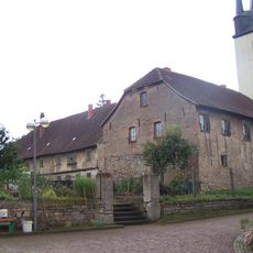
Altes Steinhaus (Mechterstädt)
129 m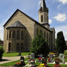
Gustav-Adolf-Kirche
6 km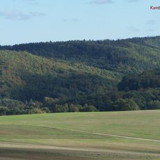
Kambühl
5.2 km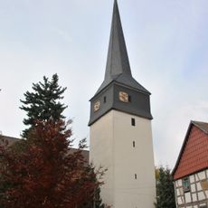
St. Ulrich
5.2 km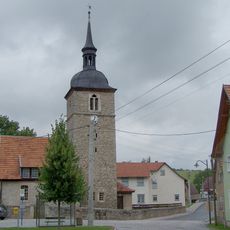
Protestant Church (Ettenhausen an der Nesse)
5 km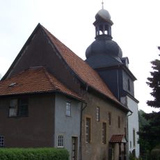
Protestant Church (Sättelstädt)
3.3 km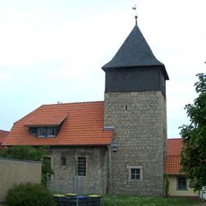
Protestant Church (Hastrungsfeld)
3.9 km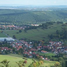
Grübel Berg
5.5 km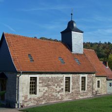
Peter- und Paulskirche
4.4 km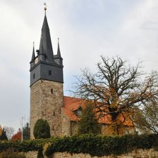
Protestant Church Teutleben
2.9 km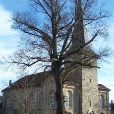
Protestant Church Schwarzhausen
5.9 km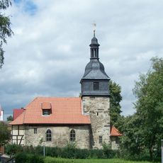
Dorfkirche Weingarten
3.7 km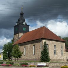
St. Kilian (Laucha)
2.1 km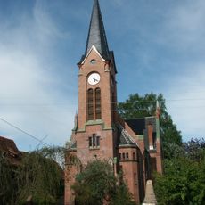
Protestant Church Fröttstädt
3.6 km
War memorial in Ettenhausen an der Nesse
5 km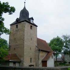
Protestant Church (Burla)
2.5 km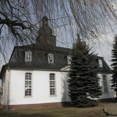
St. Bonifatius (Hörselgau)
4.8 kmReviews
Visited this place? Tap the stars to rate it and share your experience / photos with the community! Try now! You can cancel it anytime.
Discover hidden gems everywhere you go!
From secret cafés to breathtaking viewpoints, skip the crowded tourist spots and find places that match your style. Our app makes it easy with voice search, smart filtering, route optimization, and insider tips from travelers worldwide. Download now for the complete mobile experience.

A unique approach to discovering new places❞
— Le Figaro
All the places worth exploring❞
— France Info
A tailor-made excursion in just a few clicks❞
— 20 Minutes