Mannhausen, human settlement
Location: Calvörde
Elevation above the sea: 67 m
Website: http://vg-oebisfelde.de
GPS coordinates: 52.41667,11.22389
Latest update: May 4, 2025 20:09
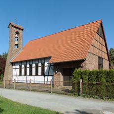
St. Elisabeth
7 km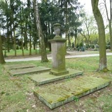
Grabmal der Familie Vibrans
5 km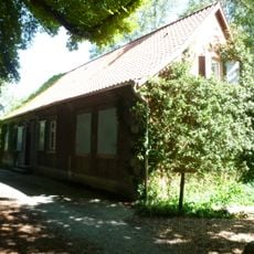
Drömling-Informationszentrum Kämkerhorst
3.1 km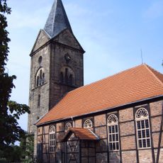
Dorfkirche Mieste
7 km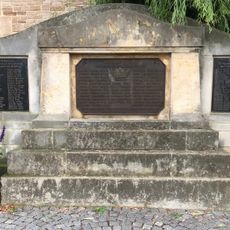
Kriegerdenkmal Benzingerode
7.6 km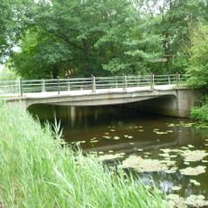
Möllerbrücke
3.2 km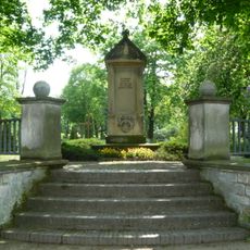
Calvörde war memorial
5 km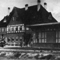
Bahnhof Calvörde
5.1 km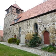
Dorfkirche Wegenstedt
3.7 km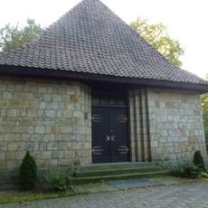
Cemetery Chapel
4.9 km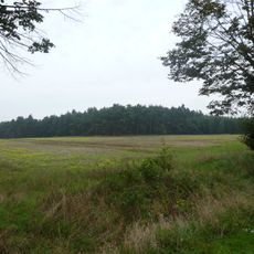
Beneberg (Calvörde)
2.1 km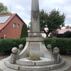
Kriegerdenkmal Rätzlingen
7.6 km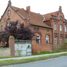
Fabrikantenvilla (Wegenstedt)
3.5 km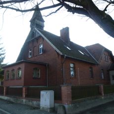
Schulhaus Mannhausen
32 m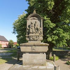
Kriegerdenkmal Mieste
7 km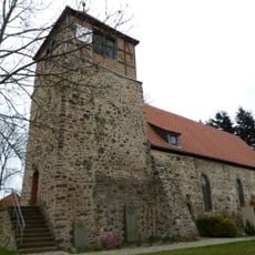
Evangelischer Pfarrhof Wegenstedt
3.7 km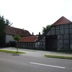
Försterei Calvörde
5.2 km
Langer-Berg
3.4 km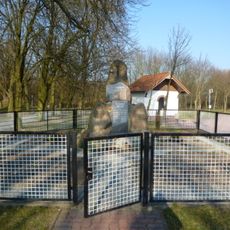
Kriegerdenkmal Velsdorf
2 km
Dorfstraße 3
7.7 km
Saalberg
1.8 km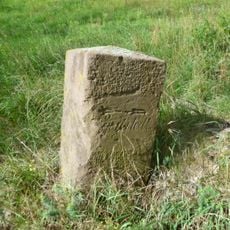
Wegweiser bei Calvörde
3.6 km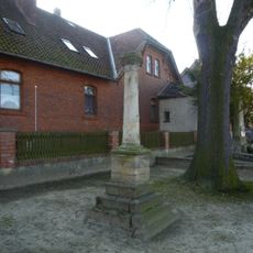
Kriegerdenkmal Mannhausen
20 m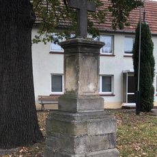
Kriegerdenkmal Rätzlingen
7.8 km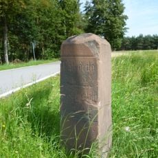
Wegweiser bei Velsdorf
3.2 km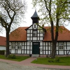
Dorfstraße 39
4.4 km
Pfarrhaus Rätzlingen
7.7 km
Lause-Berg
2 kmVisited this place? Tap the stars to rate it and share your experience / photos with the community! Try now! You can cancel it anytime.
Discover hidden gems everywhere you go!
From secret cafés to breathtaking viewpoints, skip the crowded tourist spots and find places that match your style. Our app makes it easy with voice search, smart filtering, route optimization, and insider tips from travelers worldwide. Download now for the complete mobile experience.

A unique approach to discovering new places❞
— Le Figaro
All the places worth exploring❞
— France Info
A tailor-made excursion in just a few clicks❞
— 20 Minutes