
Haste, municipality in Germany
Location: Schaumburg
Location: Nenndorf
Elevation above the sea: 53 m
Shares border with: Hohnhorst, Suthfeld
Website: http://haste.de
GPS coordinates: 52.38083,9.39056
Latest update: April 4, 2025 08:42

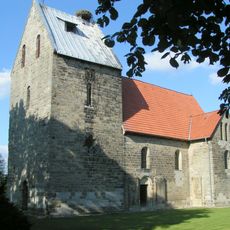
Sigwardskirche Idensen
3.4 km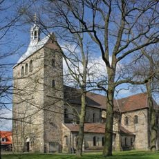
St. Cosmas and Damian
5.8 km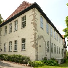
Schloss Bokeloh
3.5 km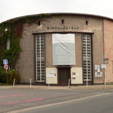
Wincklerbad
5.1 km
New synagogue
5.5 km
St. Bonifatius (Wunstorf)
5.7 km
St. Petrus Canisius
596 m
Urnengräberfeld Hohnhorst
1.9 km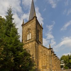
St. Godehardi-Kirche
5 km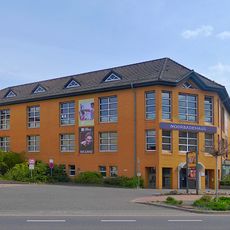
Moorbadehaus
5.1 km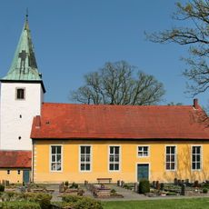
Dionysius-Kirche
4.2 km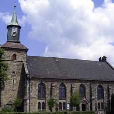
Martins-Kirche
1.7 km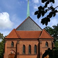
Neue Kirche
3.3 km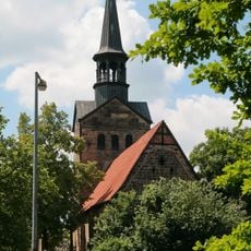
St. Bartholomaei
5.7 km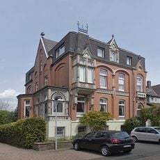
Kramerstraße 4
5 km
Düdinghäuser Berg - Aueniederung
4.4 km
Westaue
3.4 km
Kolenfelder Stadtfeld
5.4 km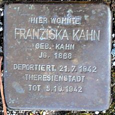
Stolperstein dedicated to Franziska Kahn
4.9 km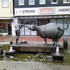
Cow fountain
5.6 km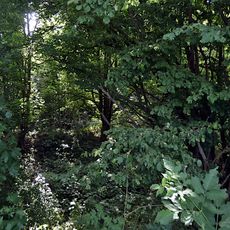
Feuchtgebiet 'Am Weißen Damm'
4.6 km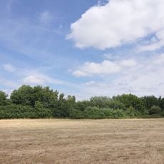
Fohlenstall - Haster Wald (Region Hannover)
2.8 km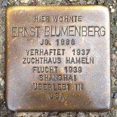
Stolperstein dedicated to Ernst Blumenberg
5.1 km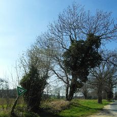
Rehren/ Horsten
5 km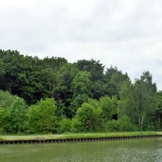
Fohlenstall - Haster Wald (Landkreis Schaumburg)
862 m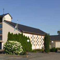
St. Konrad von Parzham
4.1 km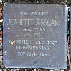
Stolperstein dedicated to Jeanette Apolant
4.9 km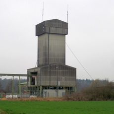
Kolenberg shaft
2.4 kmReviews
Visited this place? Tap the stars to rate it and share your experience / photos with the community! Try now! You can cancel it anytime.
Discover hidden gems everywhere you go!
From secret cafés to breathtaking viewpoints, skip the crowded tourist spots and find places that match your style. Our app makes it easy with voice search, smart filtering, route optimization, and insider tips from travelers worldwide. Download now for the complete mobile experience.

A unique approach to discovering new places❞
— Le Figaro
All the places worth exploring❞
— France Info
A tailor-made excursion in just a few clicks❞
— 20 Minutes