
Wolfersdorf, municipality of Germany
Location: Freising
Elevation above the sea: 502 m
Part of: Verwaltungsgemeinschaft Zolling
Shares border with: Au in der Hallertau, Attenkirchen, Zolling, Kirchdorf an der Amper
Website: http://gemeinde-wolfersdorf.de
GPS coordinates: 48.48333,11.71667
Latest update: March 3, 2025 20:32
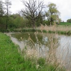
Amperauen mit Altwasser bei Palzing
3.2 km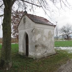
Kapelle (Palzing)
2.9 km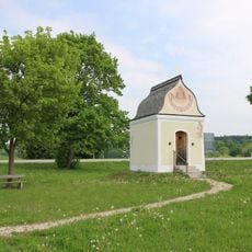
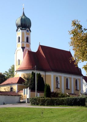
St. Sebald
3.8 km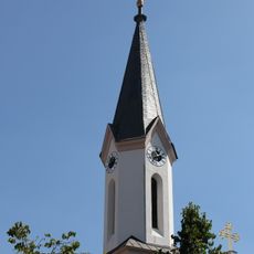
St. Peter's Church
595 m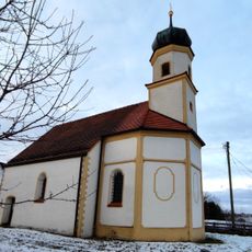
St. Peter
5.2 km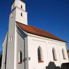
St. Lampert
4.8 km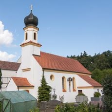
Sankt Ulrich (Holzhausen)
5.2 km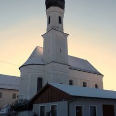
St. Leonhard (Jägersdorf)
2.2 km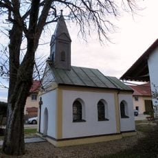
Kapelle (Geierlambach)
3.4 km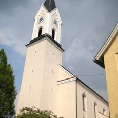
St. Johannes Baptist (Attenkirchen)
4 km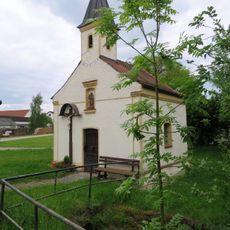
Ortskapelle Sillertshausen
5.2 km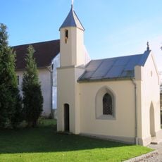
Hofkapelle Kastenhofen
2.5 km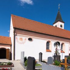
Saint Koloman Church
6 km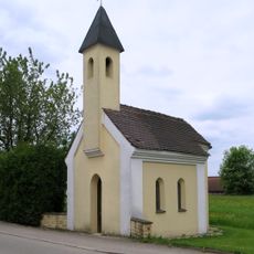
Kapelle
3 km
Wegkapelle
3.4 km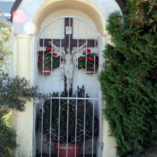
Wegkapelle
3.5 km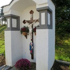
Kapellenbildstock
2.5 km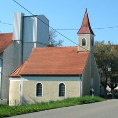
Kapelle
4.8 km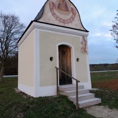
Wegkapelle
4.2 km
Gutshofkapelle
3.8 km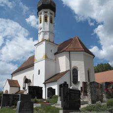
Kirche
2.6 km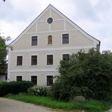
St.-Anna-Straße 7
5.1 km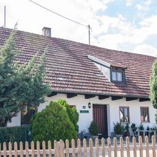
Einfirsthof
6 km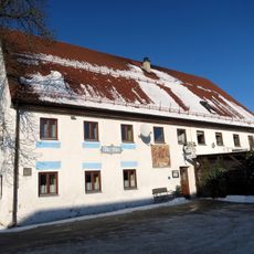
Gasthaus Alter Wirt
696 m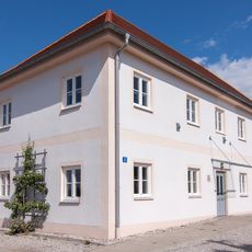
Pfarrhaus
6 km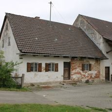
Wohnteil des Dreiseithofes
2.7 km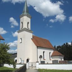
Saalkirche
1.3 km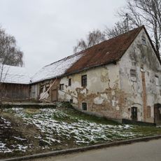
Ehemaliges Bauernhaus
1.9 kmVisited this place? Tap the stars to rate it and share your experience / photos with the community! Try now! You can cancel it anytime.
Discover hidden gems everywhere you go!
From secret cafés to breathtaking viewpoints, skip the crowded tourist spots and find places that match your style. Our app makes it easy with voice search, smart filtering, route optimization, and insider tips from travelers worldwide. Download now for the complete mobile experience.

A unique approach to discovering new places❞
— Le Figaro
All the places worth exploring❞
— France Info
A tailor-made excursion in just a few clicks❞
— 20 Minutes