
Lütau, municipality of Germany
Location: District of Duchy of Lauenburg
Elevation above the sea: 31 m
Website: http://luetau.de
GPS coordinates: 53.43583,10.55083
Latest update: March 8, 2025 14:40
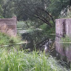
Dückerschleuse
5.2 km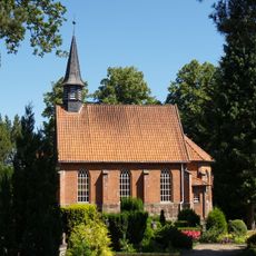
St.-Johannes-Kapelle (Schnakenbek)
6.7 km
Gut Gülzow
4.1 km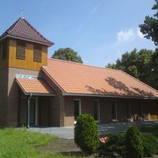
Church in Zweedorf
5.3 km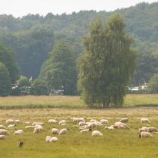
Stecknitz-Delvenau-Niederung
4.5 km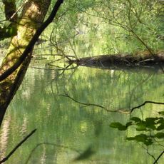
Ehemalige Baggergrube östlich Basedow
4.4 km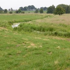
Stecknitz-Delvenau
5.2 km
Friedhofskapelle Lauenburg
6.8 km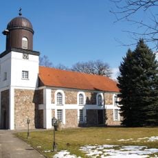
St.-Petri-Kirche
4 km
Mausoleum Fischer
4 km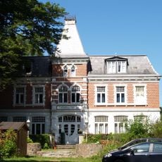
Glüsinger Grund 1, Waldhaus Glüsing
7 km
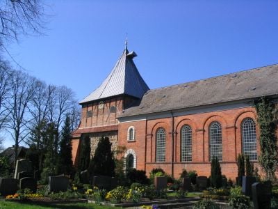
Kirche St. Jacobus und St. Dionys (Sachgesamtheit)
408 m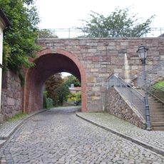
Friedrichsbrücke
7.1 km
Zwei Ziegelbogenbrücken über die Linau
4 km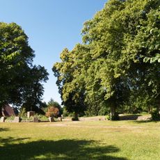
Dorfanger
3.6 km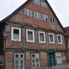
Bürgerhaus (zweistöckig)
7.1 km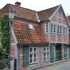
Hohler Weg 21
7.1 km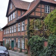
Hohler Weg 31
7.1 km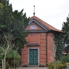
Friedhofskapelle
6.8 km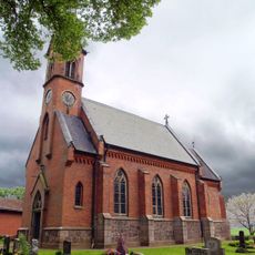
Kapelle mit Ausstattung
4.1 km
Graben 19
7.1 km
Wohnhaus Graben 31
7 km
Dückerschleuse: Fachwerkscheune
5.1 km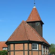
Kapelle St. Jacob mit Ausstattung
3.2 km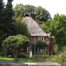
Dückerschleuse: Schleusenmeisterhaus
5.2 km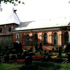
St. Jacobus und St. Dionys church
408 m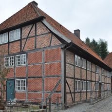
Hohler Weg 13
7.1 km
Wohnhaus Graben 29
7 kmVisited this place? Tap the stars to rate it and share your experience / photos with the community! Try now! You can cancel it anytime.
Discover hidden gems everywhere you go!
From secret cafés to breathtaking viewpoints, skip the crowded tourist spots and find places that match your style. Our app makes it easy with voice search, smart filtering, route optimization, and insider tips from travelers worldwide. Download now for the complete mobile experience.

A unique approach to discovering new places❞
— Le Figaro
All the places worth exploring❞
— France Info
A tailor-made excursion in just a few clicks❞
— 20 Minutes