
Domnitz, human settlement
Location: Wettin-Löbejün
Elevation above the sea: 143 m
GPS coordinates: 51.63111,11.83861
Latest update: March 2, 2025 20:10
St. Moritz
3.6 km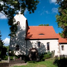
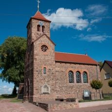
Protestant Church (Neutz)
2.7 km
Loßplatz 1
4.3 km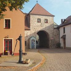
Hallesches Tor
4.3 km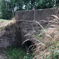
Brücke Bahnhofstraße
3.5 km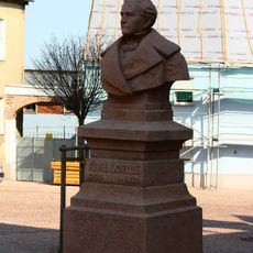
Carl-Loewe-Denkmal
4.4 km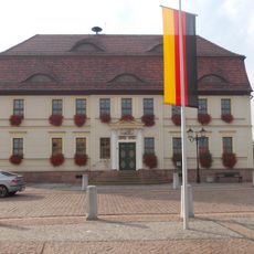
Rathaus Löbejün
4.5 km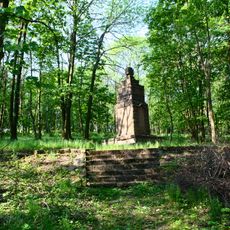
Kriegerdenkmal Löbejün
3.5 km
Schützenhaus
4.3 km
Lange Straße 25
4.4 km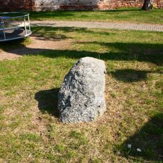
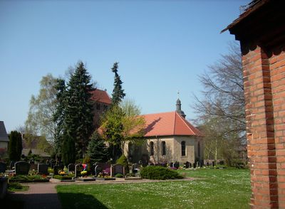
Bauernstein Domnitz
77 m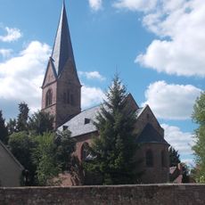
Kirche Schlettau (Wettin-Löbejün)
3.9 km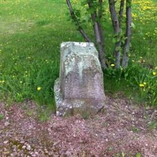
Meilenstein Domnitz
2.8 km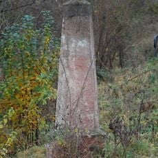
Distanzstein
4.4 km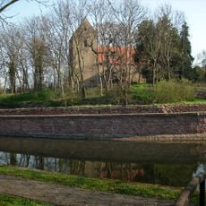
St. Marien (Dalena)
1.7 km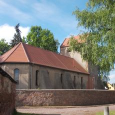
Johanniskirche
104 m
Hallesche Straße 11
2.8 km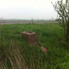
Meilenstein Garsena
3.3 km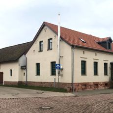
Clara-Zetkin-Straße 1
175 m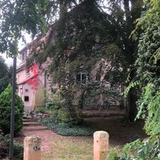
Karl-Heyer-Straße 13a
4.1 km
Mittelstraße 8
27 m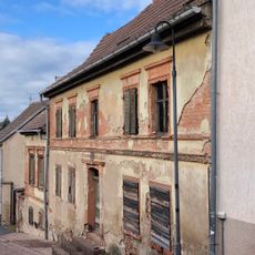
Schulberg 7
4.4 km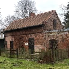
Alte Hallesche Straße 12
434 m
Alte Löbejüner Straße 14–17
217 m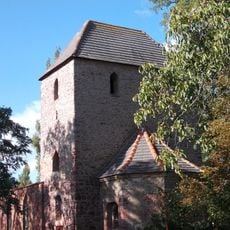
Protestant Church (Hohenedlau)
3.4 km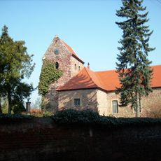
Protestant Church (Dornitz)
2.2 km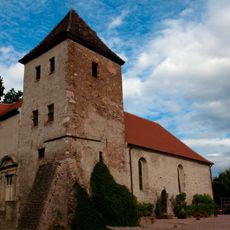
Protestant Church (Merbitz)
3.9 km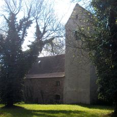
Protestant Church (Dößel)
3.7 kmVisited this place? Tap the stars to rate it and share your experience / photos with the community! Try now! You can cancel it anytime.
Discover hidden gems everywhere you go!
From secret cafés to breathtaking viewpoints, skip the crowded tourist spots and find places that match your style. Our app makes it easy with voice search, smart filtering, route optimization, and insider tips from travelers worldwide. Download now for the complete mobile experience.

A unique approach to discovering new places❞
— Le Figaro
All the places worth exploring❞
— France Info
A tailor-made excursion in just a few clicks❞
— 20 Minutes