
Grafhorst, municipality of Germany
Location: Helmstedt district
Location: Velpke
Elevation above the sea: 58 m
Shares border with: Rühen, Danndorf, Velpke
Website: http://grafhorst.de
GPS coordinates: 52.45000,10.94972
Latest update: March 3, 2025 17:42
Burg Oebisfelde
3.6 kmNursing home for foreign children
4.7 km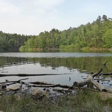
Velpker Schweiz
3.5 km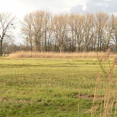
Wendschotter und Vorsfelder Drömling mit Kötherwiesen
5.4 km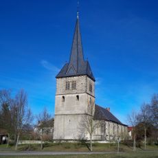
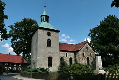
Nicolaikirche
2.9 km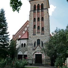
Herz Jesu (Oebisfelde)
2.9 km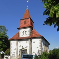
Kirche Unbefleckte Empfängnis Mariä
4.8 km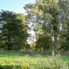
Südlicher Drömling
2.1 km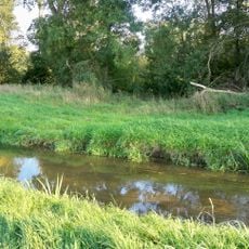
Allerauenwald im Drömling
2.8 km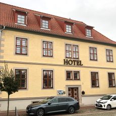
Hotel am Markt
3.5 km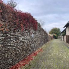
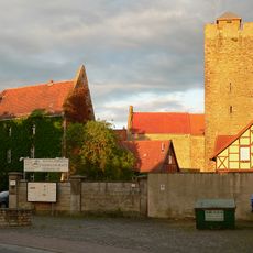
Stadtbefestigung Oebisfelde
3.4 km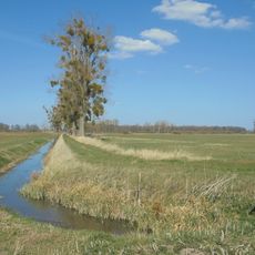
Politz und Hegholz
3.5 km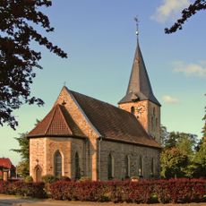
St. Andreas
4.8 km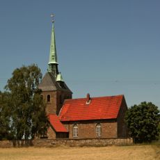
St. Petrikirche
4.5 km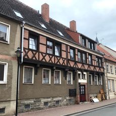
Lange Straße 60
3.4 km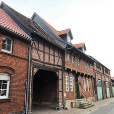
Achterstraße 34
3.4 km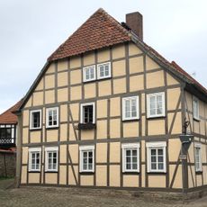
Achterstraße 1
3.5 km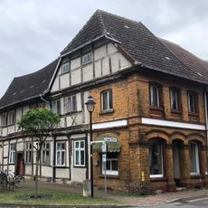
Schildplatz 7
3.4 km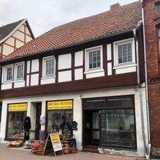
Lange Straße 57
3.4 km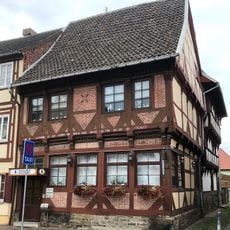
Lange Straße 56
3.5 km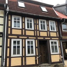
Lange Straße 65
3.4 km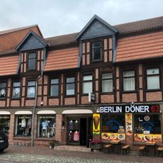
Lange Straße 54
3.5 km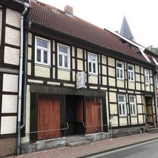
Lange Straße 64
3.4 km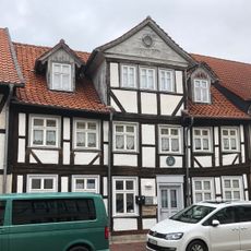
Marktplatz 1
3.5 km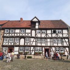
Castle and museum Oebisfelde
3.6 km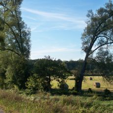
Wendschotter und Vorsfelder Drömling
5.4 km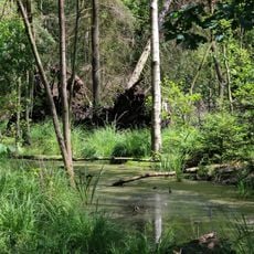
Drömling (NI)
4.6 km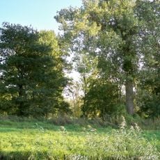
Allerauenwald
2.9 kmVisited this place? Tap the stars to rate it and share your experience / photos with the community! Try now! You can cancel it anytime.
Discover hidden gems everywhere you go!
From secret cafés to breathtaking viewpoints, skip the crowded tourist spots and find places that match your style. Our app makes it easy with voice search, smart filtering, route optimization, and insider tips from travelers worldwide. Download now for the complete mobile experience.

A unique approach to discovering new places❞
— Le Figaro
All the places worth exploring❞
— France Info
A tailor-made excursion in just a few clicks❞
— 20 Minutes