
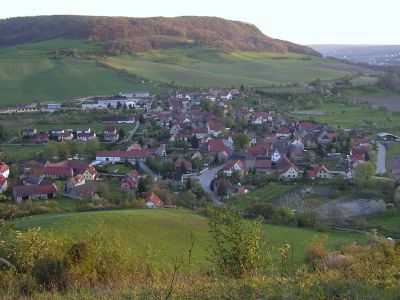
Golmsdorf, municipality of Germany
Location: Saale-Holzland-Kreis
Elevation above the sea: 230 m
Website: http://vg-dornburg-camburg.eu
GPS coordinates: 50.97375,11.66932
Latest update: March 6, 2025 03:17
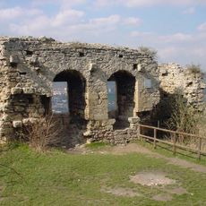
Kunitzburg
2.1 km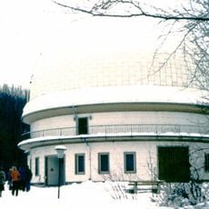
Karl Schwarzschild Observatory
3 km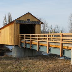
Kunitzer Hausbrücke
3.3 km
St. Martin
3.1 km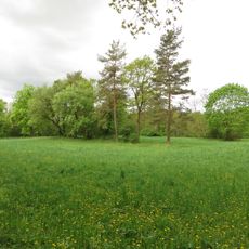
Hohe Lehde
1.8 km
Hufeisen
3 km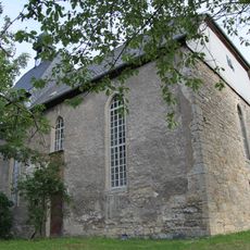
St. Barbara (Golmsdorf)
284 m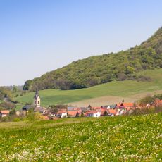
Hufeisen-Jenzig
3.9 km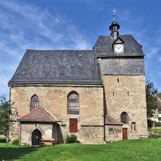
St. Trinitatis
689 m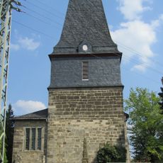
Dorfkirche Graitschen bei Bürgel
3.8 km
St. Nikolai
2.4 km
Gleistalhänge
3.7 km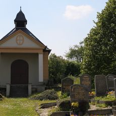
St. Katharina
3.2 km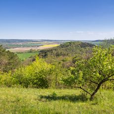
Alter Gleisberg
3.6 km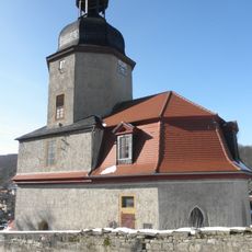
Protestant Church (Neuengönna)
2.1 km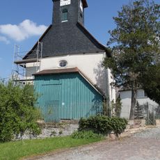
Dorfkirche Taupadel
4.3 km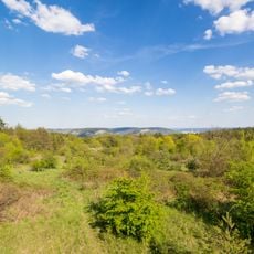
Landschaftsschutzgebiet Mittleres Saaletal zwischen Camburg und Göschwitz
1.2 km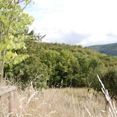
Burgschädel
2.1 km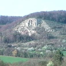
Zietschkuppe
2.5 km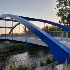
Gleistal-Saalebrücke
535 m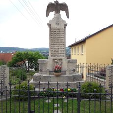
War memorial Kunitz
3.2 km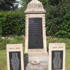
War memorial Beutnitz (Golmsdorf)
545 m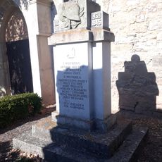
War memorial Löberschütz
2.4 km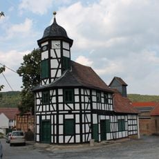
Gemeindehaus mit Brauhaus/Rathaus
3.3 km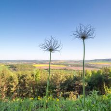
Tautenburger Forst - Hohe Lehde - Gleistalhänge
3.4 km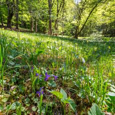
FFH-Gebiet Alter Gleisberg
3.3 km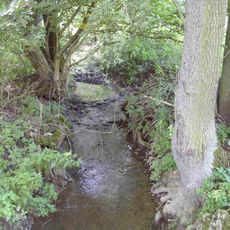
Nerkewitzer Grund - Klingelsteine - Heiligenberg
2.9 km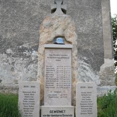
War memorial Golmsdorf
279 mVisited this place? Tap the stars to rate it and share your experience / photos with the community! Try now! You can cancel it anytime.
Discover hidden gems everywhere you go!
From secret cafés to breathtaking viewpoints, skip the crowded tourist spots and find places that match your style. Our app makes it easy with voice search, smart filtering, route optimization, and insider tips from travelers worldwide. Download now for the complete mobile experience.

A unique approach to discovering new places❞
— Le Figaro
All the places worth exploring❞
— France Info
A tailor-made excursion in just a few clicks❞
— 20 Minutes