
Haardt, human settlement in Germany
Location: Weißenburg in Bayern
Elevation above the sea: 553 m
GPS coordinates: 48.99300,10.98650
Latest update: March 6, 2025 10:02
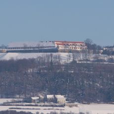
Wülzburg
3.9 km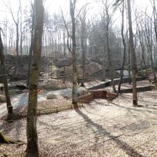
Bergwaldtheater
2.6 km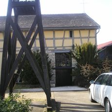
Scheunenkirche Dettenheim
3.1 km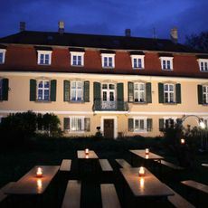
Schloss Dettenheim
3.1 km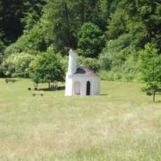
St. Gunthildis
2 km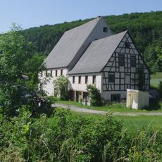
Obere Papiermühle
3.1 km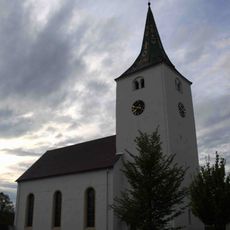
St. Nikolaus
3 km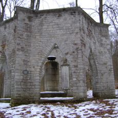
Kriegergedächtnisstätte Weißenburg
2.4 km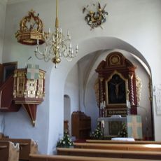
St. Michael
2.6 km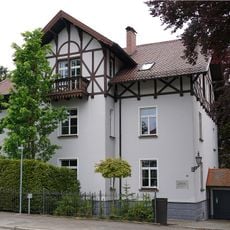
Villa Eichstätter Straße 24
3.9 km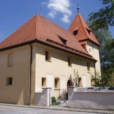
St. Willibald
3.8 km
Russian cemetery
3.1 km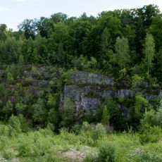
Ehemaliger Steinbruch SE von Weißenburg
2.8 km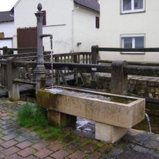
Brunnen
2.6 km
An den Sommerkellern 58
2.7 km
Äußere Türkengasse 19 (Weißenburg in Bayern)
4 km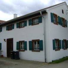
Bauernhaus
3.2 km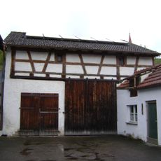
Scheune
2.6 km
Lindenallee
2.6 km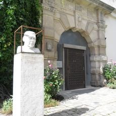
Bust of Erwin Schulhoff
3.9 km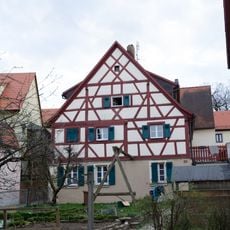
Äußere Türkengasse 20
4 km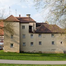
Turm der Stadtbefestigung
4 km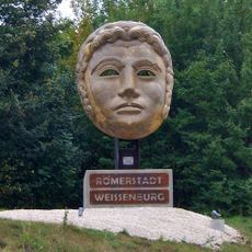
Römermaske
3.7 km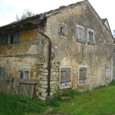
Wohnstallhaus
3.3 km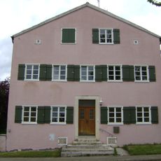
Scheune
2.9 km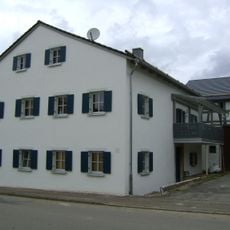
Scheune
2.9 km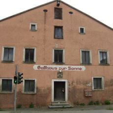
Brauereigasthof "Zur Sonne" (Weißenburg in Bayern)
3 km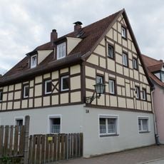
Äußere Türkengasse 24
4 kmVisited this place? Tap the stars to rate it and share your experience / photos with the community! Try now! You can cancel it anytime.
Discover hidden gems everywhere you go!
From secret cafés to breathtaking viewpoints, skip the crowded tourist spots and find places that match your style. Our app makes it easy with voice search, smart filtering, route optimization, and insider tips from travelers worldwide. Download now for the complete mobile experience.

A unique approach to discovering new places❞
— Le Figaro
All the places worth exploring❞
— France Info
A tailor-made excursion in just a few clicks❞
— 20 Minutes