
Molauer Land, municipality of Germany
Location: Wethautal
Elevation above the sea: 156 m
Website: http://www.vgem-wethautal.de/?id=104262001210
Shares border with: Schkölen, Mertendorf
Website: http://vgem-wethautal.de/?id=104262001210
GPS coordinates: 51.06667,11.86667
Latest update: March 5, 2025 03:57

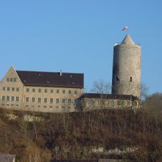
Burg Camburg
11 km
Herrensitz Tümpling
11.4 km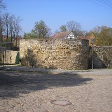
Schkölen Castle
4.3 km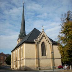
Holy Trinity Church
11.3 km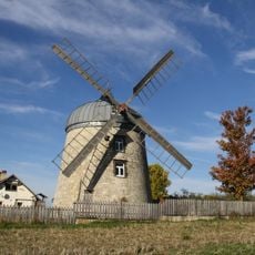
Windmühle Tultewitz
11.3 km
St. Mariä Himmelfahrt (Camburg)
11.4 km
Dorfkirche Graitschen auf der Höhe
6.3 km
Stadtkirche Schkölen
4.5 km
Protestant Church
8.3 km
Neidschütz church
5.9 km
Kirche Heiligenkreuz (Naumburg)
8.8 km
Protestant Curch Wettaburg
3.7 km
Protestant Church (Köckenitzsch)
2.9 km
Protestant Church (Tultewitz)
11.8 km
Hausbrücke
11 km
Protestant Church (Molau)
6.3 km
Protestant Church (Prießnitz)
6.9 km
Protestant Church (Leislau)
8.7 km
Protestant Church Sieglitz
7.6 km
Protestant Church Abtlöbnitz
10.4 km
Protestant Church (Janisroda)
7.8 km
St. Nicasius (Casekirchen)
1.7 km
Protestant Church (Molauer)
4.7 km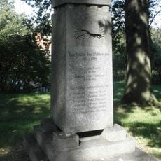
War memorial Grabsdorf
6.9 km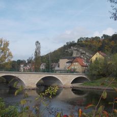
Friedensbrücke
11.1 km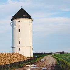
Wasserturm Crölpa-Löbschütz
9.9 km
Wassertum Molau
6 km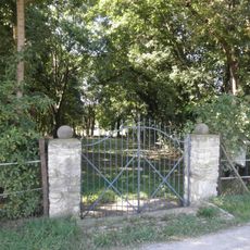
Soldatenfriedhof 1813 in Posewitz
10.1 kmReviews
Visited this place? Tap the stars to rate it and share your experience / photos with the community! Try now! You can cancel it anytime.
Discover hidden gems everywhere you go!
From secret cafés to breathtaking viewpoints, skip the crowded tourist spots and find places that match your style. Our app makes it easy with voice search, smart filtering, route optimization, and insider tips from travelers worldwide. Download now for the complete mobile experience.

A unique approach to discovering new places❞
— Le Figaro
All the places worth exploring❞
— France Info
A tailor-made excursion in just a few clicks❞
— 20 Minutes