Dorfmark, human settlement in Germany
Location: Bad Fallingbostel
Elevation above the sea: 45 m
GPS coordinates: 52.90222,9.75694
Latest update: March 6, 2025 18:22
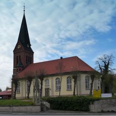
St. Dionysius
5.8 km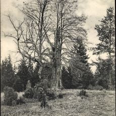
1000-jährige Linde
2 km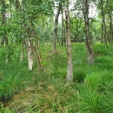
Schwarzes Moor bei Dannhorn
7.5 km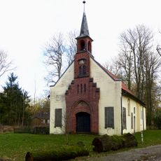
Kapelle Wense
4.8 km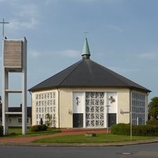
St. Maria von den sieben Schmerzen
6 km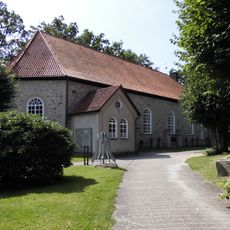
St. Martin
795 m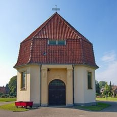
Chapel in Dorfmark
1.3 km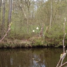
Knospen
5.4 km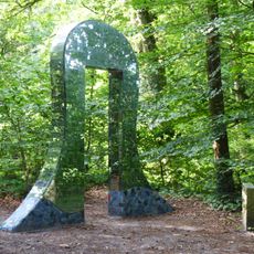
Das Tor
2.1 km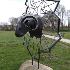
Widderkopf
5.5 km
Wettig-Park
910 m
Gemeinsam
5.8 km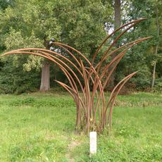
Carex-Segge
617 m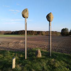
Steene op de Beene
2.3 km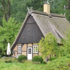
Kirchdamm 2
706 m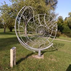
Evolver
857 m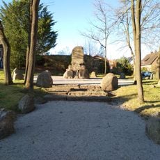
War memorial Uetzingen
7.2 km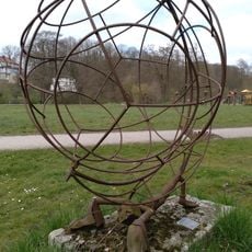
Globophoros
5.5 km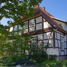
Archäologisch-geologisches Museum
5.6 km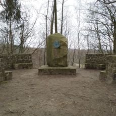
Freudenthal Memorial
4.7 km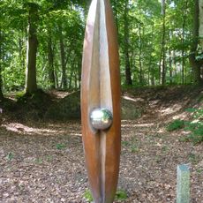
Im Fluss
2.1 km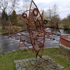
Fischtreppe
5.7 km
Michelsenstraße 1
5.6 km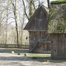
Treppenspeicher
5.2 km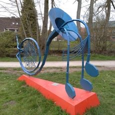
Wassermusik
5.6 km
Hauptstraße 12
762 m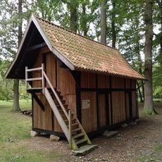
Treppenspeicher
680 m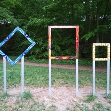
Gesehen
5 kmVisited this place? Tap the stars to rate it and share your experience / photos with the community! Try now! You can cancel it anytime.
Discover hidden gems everywhere you go!
From secret cafés to breathtaking viewpoints, skip the crowded tourist spots and find places that match your style. Our app makes it easy with voice search, smart filtering, route optimization, and insider tips from travelers worldwide. Download now for the complete mobile experience.

A unique approach to discovering new places❞
— Le Figaro
All the places worth exploring❞
— France Info
A tailor-made excursion in just a few clicks❞
— 20 Minutes