
Gaustadt, human settlement in Germany
Location: Bamberg
Elevation above the sea: 244 m
GPS coordinates: 49.90440,10.85580
Latest update: March 9, 2025 10:06
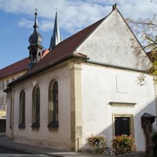
Katholisch
34 m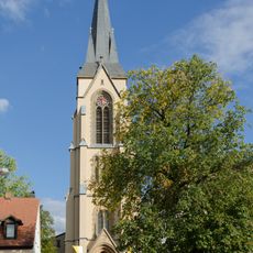
Basilika
126 m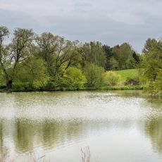
LSG Röthelbachtal im Gebiet der Stadt Bamberg
1.2 km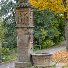
Gumbertusbrunnen (Bamberg)
1.1 km
Brunnenhäuschen
1.6 km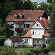
Abtsberg 13
1.6 km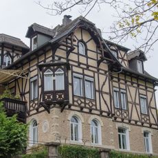
Schweinfurter Straße 7
1.5 km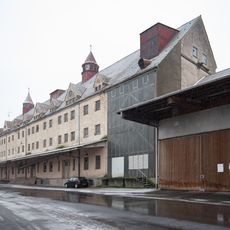
Getreidekasten
1.3 km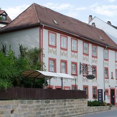
Gasthaus
1.7 km
ERBA Gelände
536 m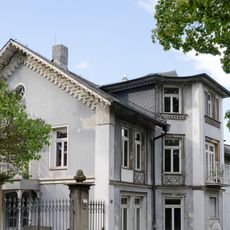
Wohnhaus
1.8 km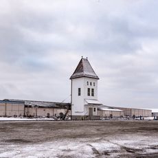
Cereals lift
1.4 km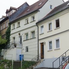
Wohnhaus
1.7 km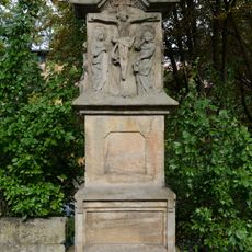
Rotenhansche Marter
1.7 km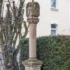
Bildstock
1.6 km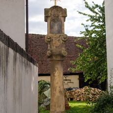
Marter
29 m
Sankt-Getreu-Straße 18
1.7 km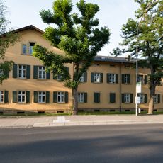
Arbeitersiedlung
744 m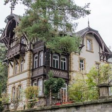
Schweinfurter Straße 5
1.6 km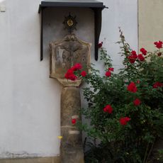
Pestsäule
28 m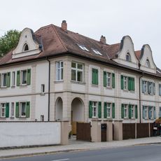
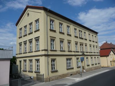
Gaustadter Hauptstraße 120, 121
934 m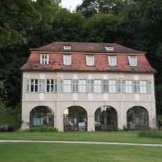
Fischerhaus
644 m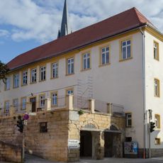
Gasthaus
54 m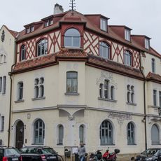
Gasthaus
1.1 km
Pfarrhaus
85 m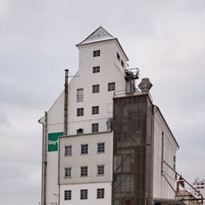
Baudenkmal
1.4 km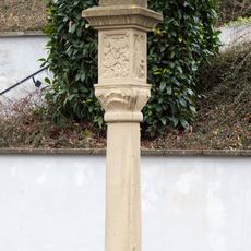
Marter
1.7 km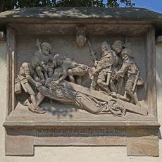
Kreuzwegstation St.-Getreu-Straße 16 in Bamberg
1.8 kmReviews
Visited this place? Tap the stars to rate it and share your experience / photos with the community! Try now! You can cancel it anytime.
Discover hidden gems everywhere you go!
From secret cafés to breathtaking viewpoints, skip the crowded tourist spots and find places that match your style. Our app makes it easy with voice search, smart filtering, route optimization, and insider tips from travelers worldwide. Download now for the complete mobile experience.

A unique approach to discovering new places❞
— Le Figaro
All the places worth exploring❞
— France Info
A tailor-made excursion in just a few clicks❞
— 20 Minutes