
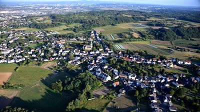
Brenig, human settlement
Location: Bornheim
Elevation above the sea: 157 m
GPS coordinates: 50.74580,6.98611
Latest update: March 9, 2025 02:21
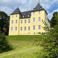
Schloss Alfter
1.8 km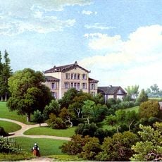
Haus Wittgenstein
1.4 km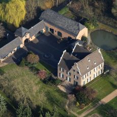
Wolfsburg
1.6 km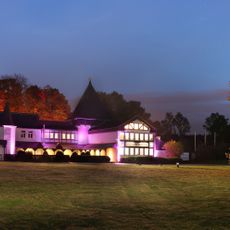
Herrenhaus Buchholz
715 m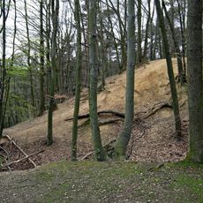
Alte Burg
881 m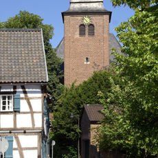
St. Matthäus
1.7 km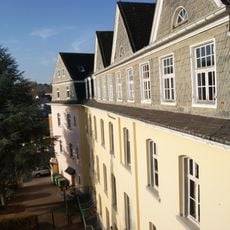
Kloster Maria Hilf
1.9 km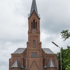
St. Servatius
1.8 km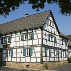
Hertersplatz 13
1.8 km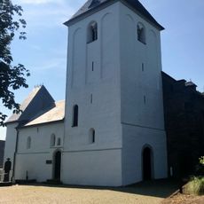
Pfarrkirche St. Jakobus
3.3 km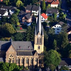
St. Evergislus
1.4 km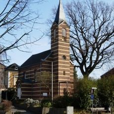
Evangelische Kirche Bornheim
1.8 km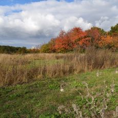
An der Roisdorfer Hufebahn
551 m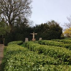
Friedensweg Alfter-Roisdorf
1 km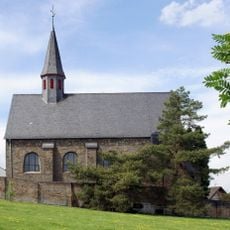
St. Mariä Himmelfahrt (Oedekoven)
3.7 km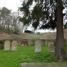
Jewish cemetery, Alfter
1.4 km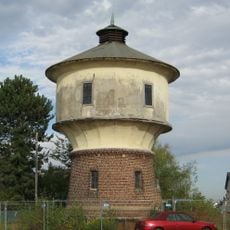
Wasserturm (Gielsdorf)
3.3 km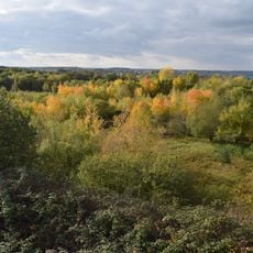
Quarzsandgrube
622 m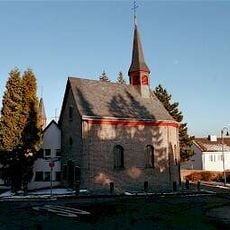
St. Mariä Vermählung
3.7 km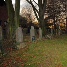
Jüdischer Friedhof
1.3 km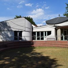
Evangelische Kirche
1.8 km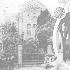
Synagoge Bornheim
1.9 km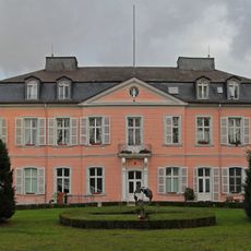
Schloss Bornheim
2.2 km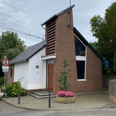
Mutter-Gottes-Kapelle
2.7 km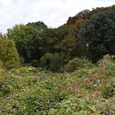
Huisbruch und Wolfsschlucht
1.5 km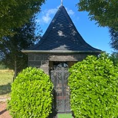
Judas-Thaddäus-Kapelle
2.7 km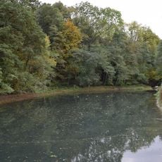
Mühlbachtal
1.1 km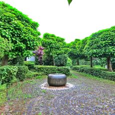
Brunnen Gleiwitzer Weg (Bonn)
3.8 kmReviews
Visited this place? Tap the stars to rate it and share your experience / photos with the community! Try now! You can cancel it anytime.
Discover hidden gems everywhere you go!
From secret cafés to breathtaking viewpoints, skip the crowded tourist spots and find places that match your style. Our app makes it easy with voice search, smart filtering, route optimization, and insider tips from travelers worldwide. Download now for the complete mobile experience.

A unique approach to discovering new places❞
— Le Figaro
All the places worth exploring❞
— France Info
A tailor-made excursion in just a few clicks❞
— 20 Minutes