Boll, quarter of Sauldorf, Baden-Württemberg, Germany
Location: Sauldorf
Elevation above the sea: 639 m
GPS coordinates: 47.95010,9.03264
Latest update: March 24, 2025 15:01
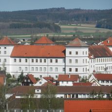
Meßkirch Castle
7.5 km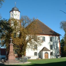
St Martin
7.5 km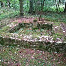
Villa rustica of Meßkirch
4.1 km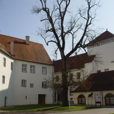
Oldtimermuseum Meßkirch
7.5 km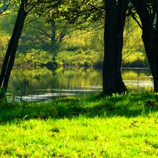
Sauldorfer Baggerseen
3.9 km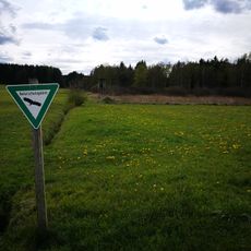
Waltere Moor
5.5 km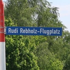
Ultraleichtfluggelände Sauldorf-Boll
674 m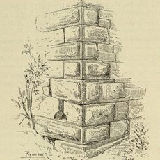
Burg Krumbach
1.3 km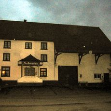
Burg Boll
295 m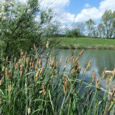
Ablach, Baggerseen und Waltere Moor
4.4 km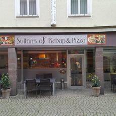
Sultans Kebap & Pizza
7.7 km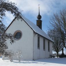
St. Wendelin (Mühlingen)
4.7 km
St. Stephanus
7.4 km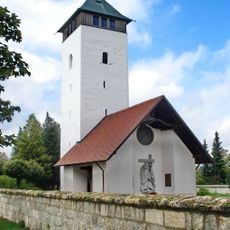
Buchheimer Hans
7 km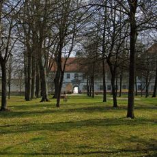
Hofgarten
7.3 km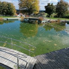
Naturbad Thalheim
6.2 km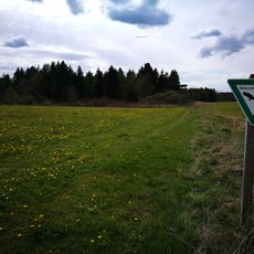
Waltere Moor
5.7 km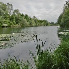
Schwackenreuter Baggerseen - Rübelisbach
4.3 km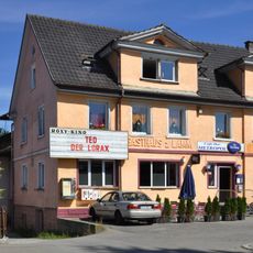
Roxy
7.8 km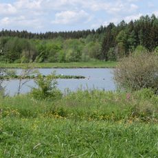
Sauldorfer Baggerseen
3.8 km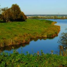
Sauldorfer Baggerseen (Landkreis Konstanz)
3.6 km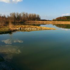
Schwackenreuter Baggerseen - Rübelisbach (Landkreis Sigmaringen)
2.7 km
Schlosskastanie in Meßkirch
7.5 km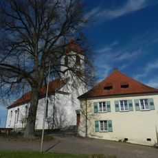
St. Sebastian
5.5 km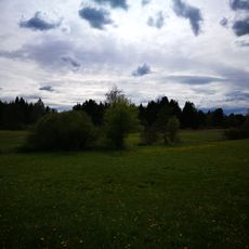
Waltere Moor (Landkreis Sigmaringen)
5.8 km
Friedenslinde in Sauldorf
5.6 km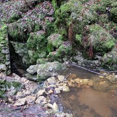
Wasserfall (Doline) im Schindelwald
6.1 km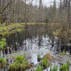
Hochmoor Wilde im Schindelwald
5.7 kmVisited this place? Tap the stars to rate it and share your experience / photos with the community! Try now! You can cancel it anytime.
Discover hidden gems everywhere you go!
From secret cafés to breathtaking viewpoints, skip the crowded tourist spots and find places that match your style. Our app makes it easy with voice search, smart filtering, route optimization, and insider tips from travelers worldwide. Download now for the complete mobile experience.

A unique approach to discovering new places❞
— Le Figaro
All the places worth exploring❞
— France Info
A tailor-made excursion in just a few clicks❞
— 20 Minutes