
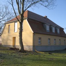
Hohenselchow, Human Settlement
Location: Hohenselchow-Groß Pinnow
Elevation above the sea: 52 m
GPS coordinates: 53.20420,14.27970
Latest update: March 17, 2025 02:34
Hospital Penkun
10.7 km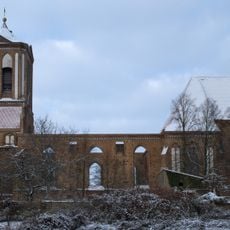
St. Stephen in Gartz (Oder)
7.4 km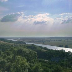
Lower Oder Valley International Park
8.2 km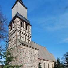
Village church (Kunow in der Uckermark)
7.5 km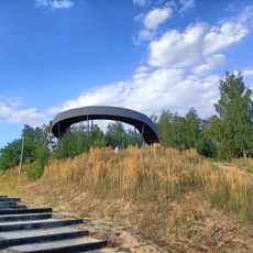
Platforma widokowa
10.9 km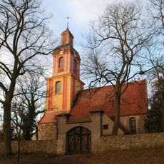
Kirche
8.5 km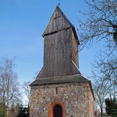
St. Katharinenkirche
2.2 km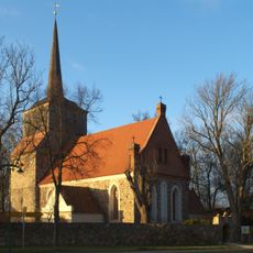
Kirche
9.7 km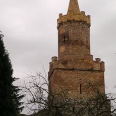
Stadtmauer Gartz
7.6 km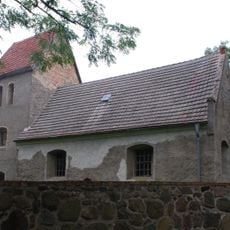
Village church Damitzow
10 km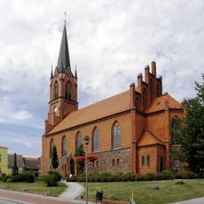
Penkun church
10.7 km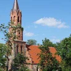
Village church Casekow
4.7 km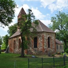
Village church Jamikow
8.3 km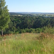
Sarbskie Górki
10.9 km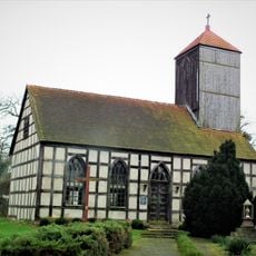
Assumption church in Marwice
9.9 km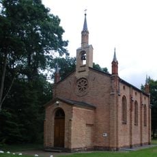
Tantow church
9.1 km
Village church Kummerow (Schwedt)
7.8 km
Dorfkirche Schönow (Uckermark)
9 km
Village church Stendell
10.2 km
Village church Woltersdorf (Casekow)
5 km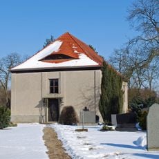
Church in Friedrichsthal
7.1 km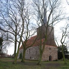
St. Johanneskirche
76 m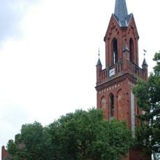
Kirche (Schönfeld bei Gartz)
7.8 km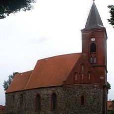
Kirche Hohenreinkendorf
4.5 km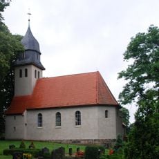
Church in Geesow
8.8 km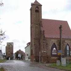
Heilig-Geist-Kapelle
7.7 km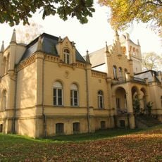
Schloss Schönow
8.8 km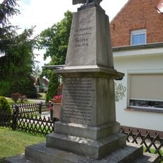
World War I memorial Stendell
10.2 kmReviews
Visited this place? Tap the stars to rate it and share your experience / photos with the community! Try now! You can cancel it anytime.
Discover hidden gems everywhere you go!
From secret cafés to breathtaking viewpoints, skip the crowded tourist spots and find places that match your style. Our app makes it easy with voice search, smart filtering, route optimization, and insider tips from travelers worldwide. Download now for the complete mobile experience.

A unique approach to discovering new places❞
— Le Figaro
All the places worth exploring❞
— France Info
A tailor-made excursion in just a few clicks❞
— 20 Minutes