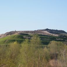
Dählingsberg, mountain
Location: Pankow
Elevation above the sea: 56.6 m
GPS coordinates: 52.63326,13.43104
Latest update: March 17, 2025 11:28
Arkenberge
1.9 km
Karower Teiche
2.3 km
Berlin-Arkenberge
2.1 km
Schönerlinder Teiche
2.8 km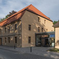
Mönchmühle
3.3 km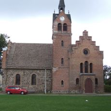
Village church Französisch Buchholz
2.8 km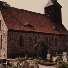
Dorfkirche Berlin-Blankenfelde
3.2 km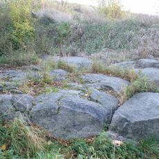
Großer Stein von Buchholz
2.2 km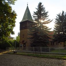
Kirche St. Johannes Evangelist, Französisch Buchholz
3.6 km
Gut Schönerlinde
3.1 km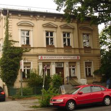
Hauptstraße 14
3.1 km
Flugobjekte
3.8 km
Nike
3.1 km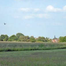
Landschaftsschutzgebiet Blankenfelde
2.7 km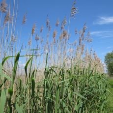
Landschaftsschutzgebiet Buch
3 km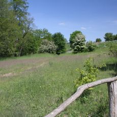
Niedermoorwiesen am Tegeler Fließ
4 km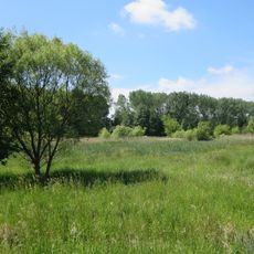
Bogenseekette und Lietzengrabenniederung
3.3 km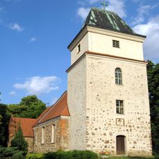
Dorfkirche
2.5 km
Möllersfelde
1.2 km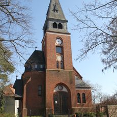
Dorfkirche Schildow
3.6 km
Kalktuffgelände am Tegeler Fließ
2.7 km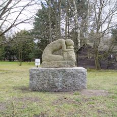
Erschöpfung
3.9 km
Idehorst
1.6 km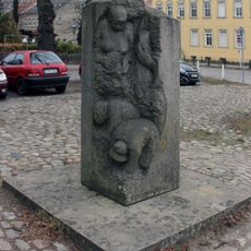
Huguenots in Buchholz
2.9 km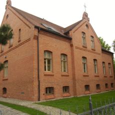
Hauptstraße 13
3.2 km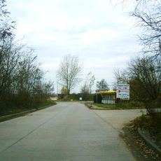
Vorwerk Lindenhof
1.1 km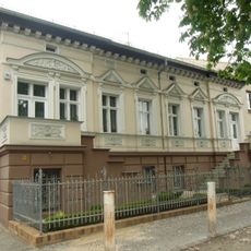
Hauptstraße 16
3 km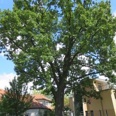
Ungarische Eiche
3.4 kmReviews
Visited this place? Tap the stars to rate it and share your experience / photos with the community! Try now! You can cancel it anytime.
Discover hidden gems everywhere you go!
From secret cafés to breathtaking viewpoints, skip the crowded tourist spots and find places that match your style. Our app makes it easy with voice search, smart filtering, route optimization, and insider tips from travelers worldwide. Download now for the complete mobile experience.

A unique approach to discovering new places❞
— Le Figaro
All the places worth exploring❞
— France Info
A tailor-made excursion in just a few clicks❞
— 20 Minutes