
Garbenteich, human settlement in Germany
Location: Pohlheim
Elevation above the sea: 218 m
GPS coordinates: 50.53722,8.74917
Latest update: April 12, 2025 20:00
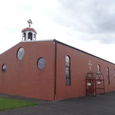
Mor Barsaumo
451 m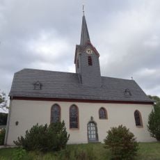
Evangelische Kirche Hausen
1.4 km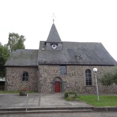
Evangelische Kirche Garbenteich
50 m
Jüdischer Friedhof
1.6 km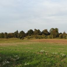
Naturschutzgebiet Hoher Stein bei Fernwald
2 km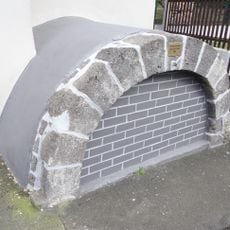
Bachstraße o. Nr.
1.3 km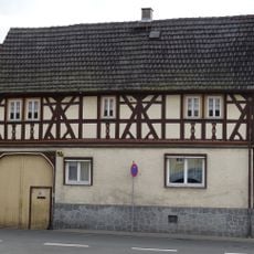
Alte Gießener Straße 16
1.3 km
Ernst-Steiner-Straße 20
1.4 km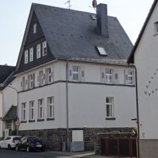
Ehemalige Schule
61 m
Schiffenbergstraße 36
178 m
Schiffenbergstraße 6
57 m
Ehemalige Schule
1.5 km
Schulgasse 1
1.3 km
Steinbacher Straße 4
187 m
Gesamtanlage historischer Ortskern
73 m
Bachstraße 8
1.3 km
Schiffenbergstraße 26
146 m
Ernst-Steiner-Straße 13
1.4 km
Ernst-Steiner-Straße 14
1.4 km
Licher Straße 18
189 m
Gesamtanlage Ortskern Hausen
1.4 km
Schulgasse 3
1.3 km
Licher Straße 10
148 m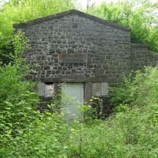
Wasserbehälter
1.1 km
Licher Straße 6
122 m
Licher Straße 1
113 m
Dorf-Güller-Straße 9
86 m
Dorf-Güller-Straße 2
33 mVisited this place? Tap the stars to rate it and share your experience / photos with the community! Try now! You can cancel it anytime.
Discover hidden gems everywhere you go!
From secret cafés to breathtaking viewpoints, skip the crowded tourist spots and find places that match your style. Our app makes it easy with voice search, smart filtering, route optimization, and insider tips from travelers worldwide. Download now for the complete mobile experience.

A unique approach to discovering new places❞
— Le Figaro
All the places worth exploring❞
— France Info
A tailor-made excursion in just a few clicks❞
— 20 Minutes