
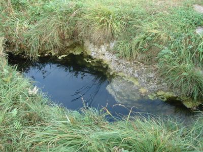
Gründleinsloch, spring in Germany
Location: Donnersdorf
Elevation above the sea: 230 m
Length: 18 m
Width: 2 m
Website: http://www.umweltatlas.bayern.de/mapapps/resources/reports/geotope/generateBericht.pdf?additionallayerfieldvalue=678Q002
GPS coordinates: 49.98573,10.37343
Latest update: March 23, 2025 09:57
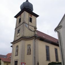
Pfarrkirche
725 m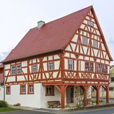
Rathaus
936 m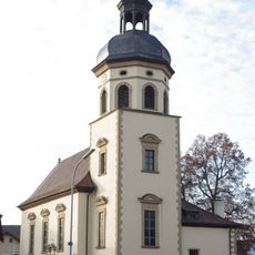
Mariä Geburt
841 m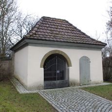
Friedhofskapelle
753 m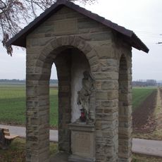
Wegkapelle
454 m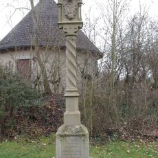
Bildstock
734 m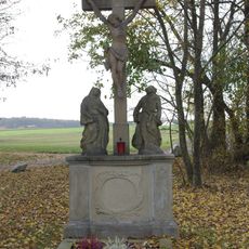
Kreuzigungsgruppe
999 m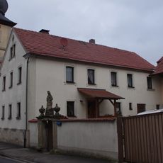
Bauernhaus
730 m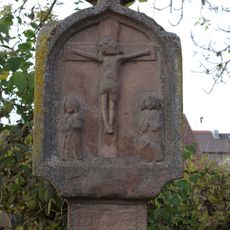
Bildstock
801 m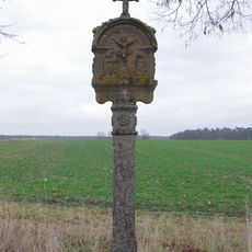
Bildstock
823 m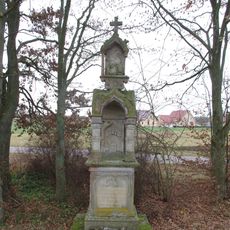
Tabernakelbildstock
1.1 km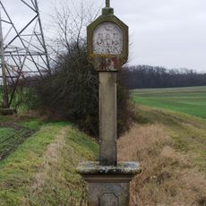
Bildstock
1 km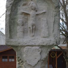
Bildstock
1 km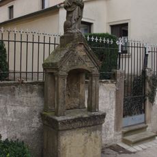
Altarbildstock
715 m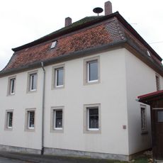
Pfarrhaus
761 m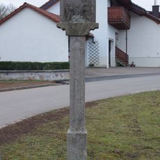
Bildstock
652 m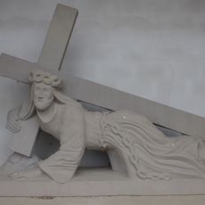
Kreuzschlepper
722 m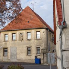
Wohnhaus
805 m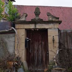
Fußgängerpforte
796 m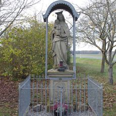
Muttergottesfigur
831 m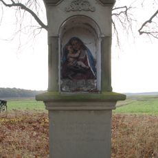
Fluraltar
1.1 km
Bildstock
1.1 km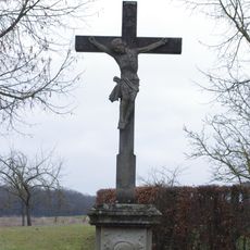
Wegkreuz
848 m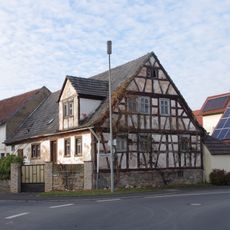
Wohnhaus
1 km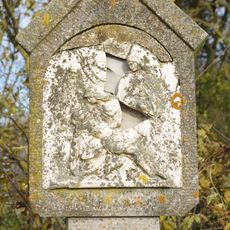
Bildstock
1.5 km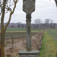
Bildstock
514 m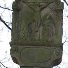
Bildstock
1.2 km
Kleinhaus
1.7 kmReviews
Visited this place? Tap the stars to rate it and share your experience / photos with the community! Try now! You can cancel it anytime.
Discover hidden gems everywhere you go!
From secret cafés to breathtaking viewpoints, skip the crowded tourist spots and find places that match your style. Our app makes it easy with voice search, smart filtering, route optimization, and insider tips from travelers worldwide. Download now for the complete mobile experience.

A unique approach to discovering new places❞
— Le Figaro
All the places worth exploring❞
— France Info
A tailor-made excursion in just a few clicks❞
— 20 Minutes