
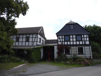
Hainsberg, human settlement in Germany
Location: Langenwetzendorf
Elevation above the sea: 377 m
GPS coordinates: 50.69280,12.09170
Latest update: March 9, 2025 10:17
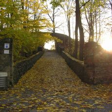
Burgruine Reichenfels
4.1 km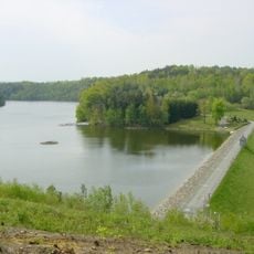
Leubatalsperre
3.6 km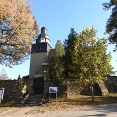
Dorfkirche Langenwetzendorf
1.5 km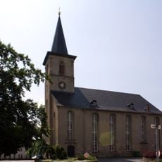
Stadtkirche Hohenleuben
3.4 km
Wallanlage Tumelle
3 km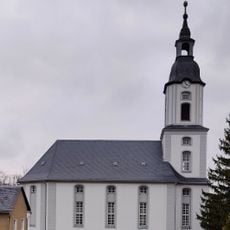
Protestant Church Döhlen
5.8 km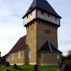
St. Nikolaus
6.7 km
Kirchgemeindesaal Gommla
4.1 km
Dorfkirche Steinsdorf
7 km
Saint John Church
7.3 km
Dorfkirche Nitschareuth
4.1 km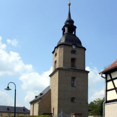
Dorfkirche Staitz
5.3 km
St. Georg (Tschirma)
4 km
St. Urban
4.2 km
Kirche Hohenölsen
5.2 km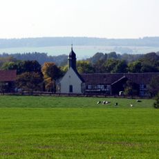
Dorfkirche Wittchendorf
4.2 km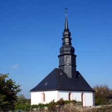
St. Georg (Kühdorf)
2 km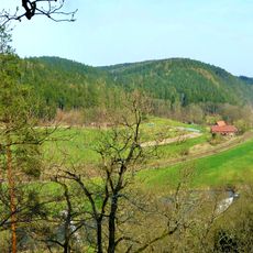
Elstertal zwischen Greiz und Wünschendorf
6.8 km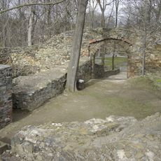
Burgruine Reichenfels
4.1 km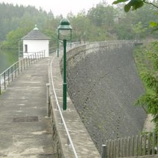
Weidatalsperre
7.3 km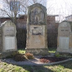
War memorial Moschwitz
7.3 km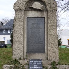
War memorial Dörtendorf
5.4 km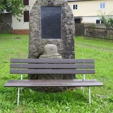
War memorial Hainsberg (Langenwetzendorf)
73 m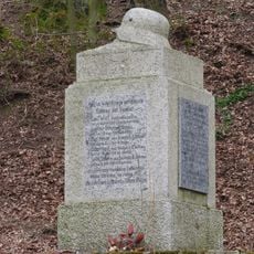
War memorial Göhren
6.1 km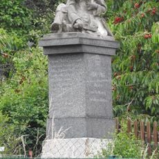
War memorial Daßlitz
3.2 km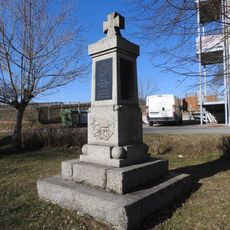
War memorial Göttendorf
3.6 km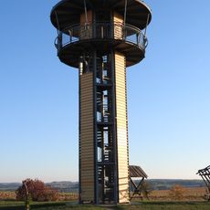
Kreuztanne Observation Tower
4.4 km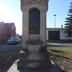
War memorial Erbengrün
5.8 kmVisited this place? Tap the stars to rate it and share your experience / photos with the community! Try now! You can cancel it anytime.
Discover hidden gems everywhere you go!
From secret cafés to breathtaking viewpoints, skip the crowded tourist spots and find places that match your style. Our app makes it easy with voice search, smart filtering, route optimization, and insider tips from travelers worldwide. Download now for the complete mobile experience.

A unique approach to discovering new places❞
— Le Figaro
All the places worth exploring❞
— France Info
A tailor-made excursion in just a few clicks❞
— 20 Minutes