
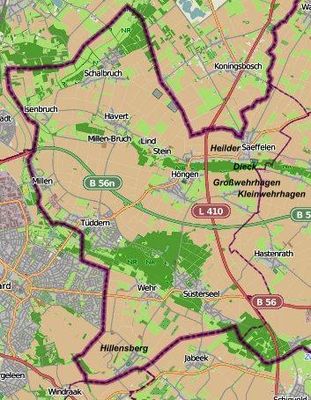
Tüddern, human settlement in Selfkant, Germany
Location: Selfkant
Elevation above the sea: 53 m
Shares border with: Millen
GPS coordinates: 51.01389,5.90083
Latest update: March 31, 2025 02:53
Castle Millen
2.2 km
Fort Sanderbout
2.7 km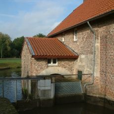
Stadbroekermolen
1.4 km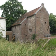
Millener Mühlen
2.1 km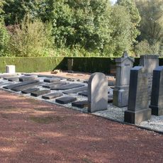
Jewish cemetery, Sittard
2.6 km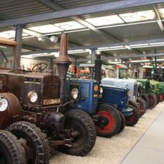
Bauernmuseum Selfkant
619 m
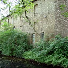
Kornmühle Tüddern
532 m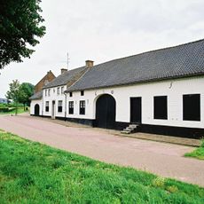
Hoeve Lahrhof
2.6 km
Christus' Hemelvaartkerk
1.9 km
Heilig Hart van Jezuskerk
2.5 km
Onze-Lieve-Vrouw Geboortekerk
1.4 km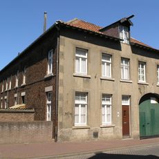
Molen van Hochstenbach
2.5 km
Tüdderner Fenn
1.9 km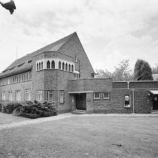
Klooster van de Paters van het Heilig Hart van Jezus van Bétharram
2.5 km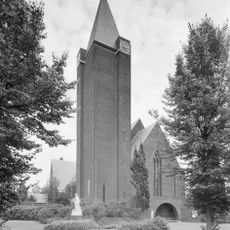
Statue of Sacred Heart of Jesus Christ
2.5 km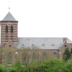
St. Gertrud
2.7 km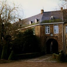
Castle Millen: access bridge
2.1 km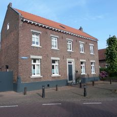
Heistraat 2, Einighausen
2.4 km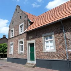
Dorpstraat 42, Sittard
1.4 km
Castle Millen: historic garden and park landscaping
2.1 km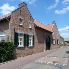
Kruisstraat 28, Broeksittard
1.3 km
Heistraat 73, Sittard
2.7 km
Heistraat 67, Sittard
2.6 km
Castle ruin Millen
2.1 km
Huis Op 't Fort
2.6 km
Castle Millen: main building
2.1 km
Heistraat 81, Sittard
2.7 km
Dorpsstraat 35, Sittard
1.4 kmReviews
Visited this place? Tap the stars to rate it and share your experience / photos with the community! Try now! You can cancel it anytime.
Discover hidden gems everywhere you go!
From secret cafés to breathtaking viewpoints, skip the crowded tourist spots and find places that match your style. Our app makes it easy with voice search, smart filtering, route optimization, and insider tips from travelers worldwide. Download now for the complete mobile experience.

A unique approach to discovering new places❞
— Le Figaro
All the places worth exploring❞
— France Info
A tailor-made excursion in just a few clicks❞
— 20 Minutes