Niederntudorf, human settlement in Germany
Location: Salzkotten
Elevation above the sea: 162 m
GPS coordinates: 51.63330,8.68330
Latest update: March 9, 2025 15:08
Erinnerungs- und Gedenkstätte Wewelsburg 1933-1945
3.7 km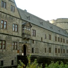
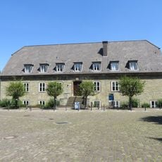
Historisches Museum des Hochstifts Paderborn
3.7 km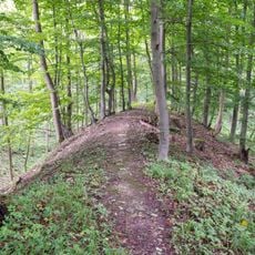
Wallburg Gellinghausen
3.7 km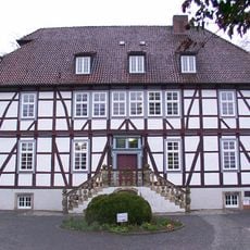
Mallinckrodthof
4.5 km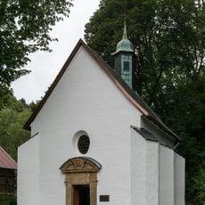
Kluskapelle
5.7 km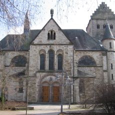
St. Michael, Kirchborchen
4.2 km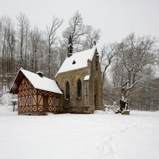
Meinolfuskapelle Büren
5.2 km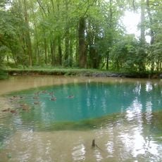
Storchenkolk
4.9 km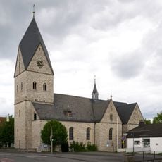
St. Johann Baptist in Paderborn-Wewer
5.9 km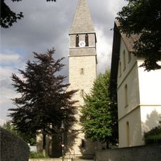
St. Jodokus
3.7 km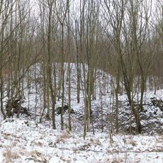
Imbsenburg
4.1 km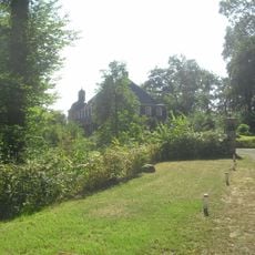
Schloss Graffeln
3.1 km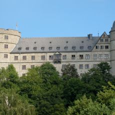
Wewelsburg
3.7 km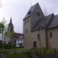
St. Walburga (Alfen)
2.5 km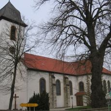
St. Simon und Judas Thaddäus
5.4 km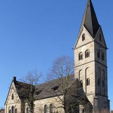
St. Antonius Eremit
5.5 km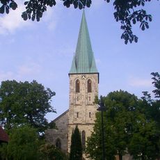
St. Matthäus
289 m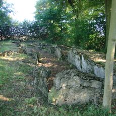
Galeriegrab Etteln
4.2 km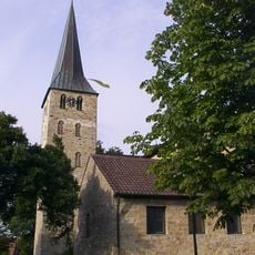
St. Georg (Oberntudorf)
1.7 km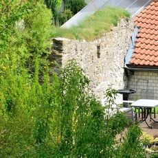
Ettelner Burg
5.3 km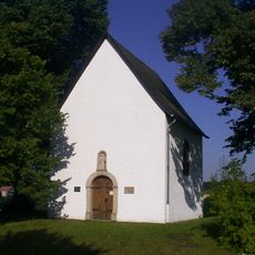
Galluskapelle
3.8 km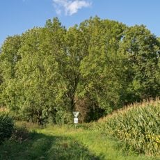
Ziegenberg
5.4 km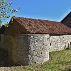
Unterhaus
4.8 km
Almehänge bei Ahden und Wewelsburg
3.5 km
LSG Paderborner und Bad Lippspringer Wälder
4.4 km
Wewelsburg
3.7 km
Untere Kellberg
5.7 km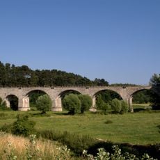
Eisenbahnviadukt Niederntudorf
350 mVisited this place? Tap the stars to rate it and share your experience / photos with the community! Try now! You can cancel it anytime.
Discover hidden gems everywhere you go!
From secret cafés to breathtaking viewpoints, skip the crowded tourist spots and find places that match your style. Our app makes it easy with voice search, smart filtering, route optimization, and insider tips from travelers worldwide. Download now for the complete mobile experience.

A unique approach to discovering new places❞
— Le Figaro
All the places worth exploring❞
— France Info
A tailor-made excursion in just a few clicks❞
— 20 Minutes