
Oesfeld, human settlement in Germany
Location: Bütthard
Elevation above the sea: 320 m
GPS coordinates: 49.56280,9.84556
Latest update: March 9, 2025 19:00

Prämonstratenserinnenkloster Lochgarten
2.9 km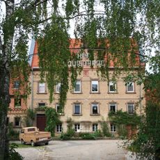
Jagdschloss Louisgarde
2.9 km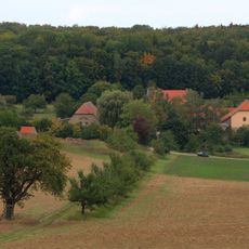
Hof Louisgarde
2.9 km
Hof Marstadt
3.4 km
St. Aegidius
3.4 km
Neubronn
2 km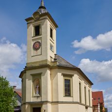
Pfarrkirche
71 m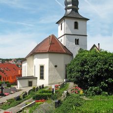
Friedhof Harthausen
3.4 km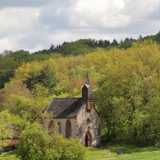
Kapelle Maria Heimsuchung
2 km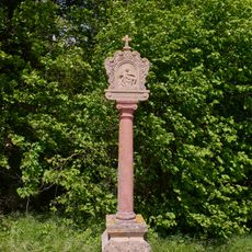
Bildstock
2.1 km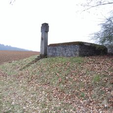
Kriegerdenkmal
3.2 km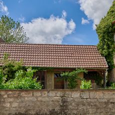
Nebengebäude Bowieser Straße 3 in Bütthard
42 m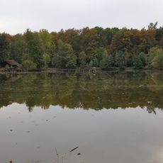
Insel im Marstadter See
2.9 km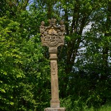
Bildstock
409 m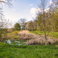
Feuchtbiotop am Marstadter See Beim Jungholz
3 km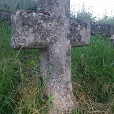
Sühnekreuz Igersheim III
3.4 km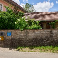
Einfriedung Bowieser Straße 3 in Bütthard
49 m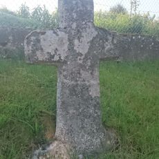
Sühnekreuz Igersheim V
3.4 km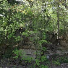
Steinbruch Eichenlöhle
3 km
Keltische Viereckschanze Bütthard (West)
3.2 km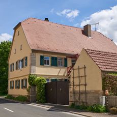
Wohnhaus
111 m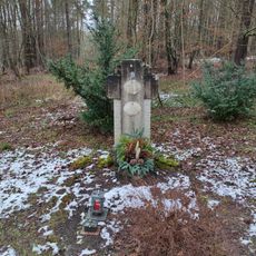
Kriegerdenkmal
2.6 km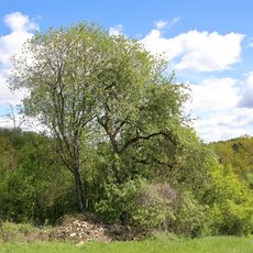
2 Steinkreuz Linden Neubronn Reckerstaler Straße
1.9 km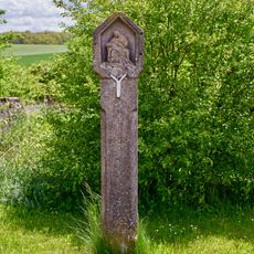
Bildstock
204 m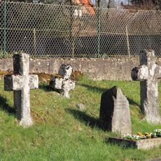
Steinkreuznest bei Bernsfelden
3.4 km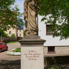
Heiligenfigur
50 m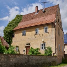
Wohnhaus
60 m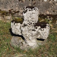
Sühnekreuz Igersheim IV
3.4 kmReviews
Visited this place? Tap the stars to rate it and share your experience / photos with the community! Try now! You can cancel it anytime.
Discover hidden gems everywhere you go!
From secret cafés to breathtaking viewpoints, skip the crowded tourist spots and find places that match your style. Our app makes it easy with voice search, smart filtering, route optimization, and insider tips from travelers worldwide. Download now for the complete mobile experience.

A unique approach to discovering new places❞
— Le Figaro
All the places worth exploring❞
— France Info
A tailor-made excursion in just a few clicks❞
— 20 Minutes