
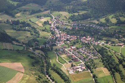
Rengershausen, human settlement in Germany
Location: Frankenberg
Elevation above the sea: 335 m
Website: https://rengershausen.frankenberg.de/Start-427.html
GPS coordinates: 51.10667,8.70278
Latest update: March 9, 2025 10:14
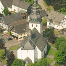
St.-Heribert-Kirche
5 km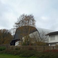
Freilichtbühne Hallenberg
6.5 km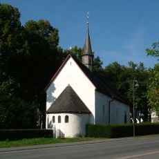
Merklinghauser Kapelle
6.6 km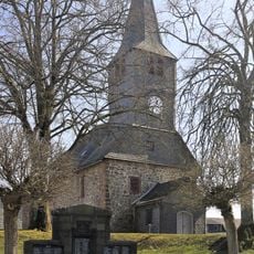
Evangelische Kirche Bromskirchen
5.6 km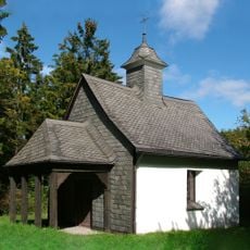
Kapelle auf dem Kreuzberg
6.6 km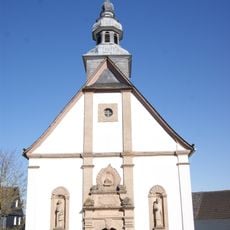
St. Johannes Evangelist
6.7 km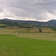
Nuhnewiesen
4.5 km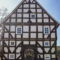
Rathaus Bromskirchen
5.6 km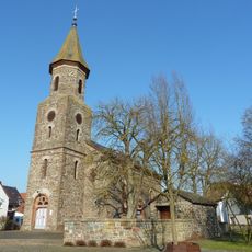
Evangelische Kirche Neukirchen
2.7 km
Evangelische Kirche
2.5 km
Heckenlandschaft Braunshausen
1.2 km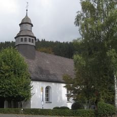
Alte Pfarrkirche St. Thomas
6.9 km
Rüdenscheid
6.7 km
Magergrünland südlich Hallenberg
5.5 km
Saint Francis of Assisi Church (Dreislar)
4.9 km
Steinschlade
2.2 km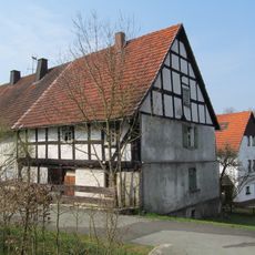
Fachwerkwohnhaus
2.7 km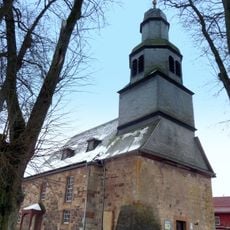
Evangelische Kirche
6 km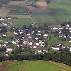
St. Thomas der Apostel
7 km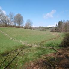
Wehlental und Heidebachtal
3.8 km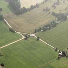
Stemmberg
6.5 km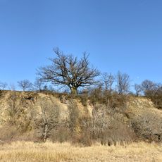
Steinbruch Nuhnetal
5.2 km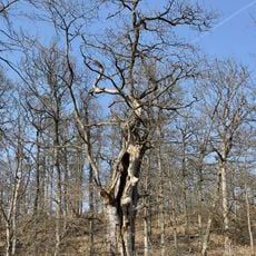
Fratzeneiche
4.4 km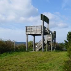
Sauerland-Stabil-Stuhl
6.2 km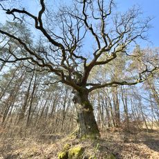
Huteeichen Nienze-Driesch Standort 2
4.4 km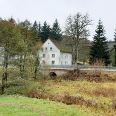
Unterlinsphermühle
5.9 km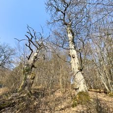
Huteeichen Nienze-Driesch
4.4 km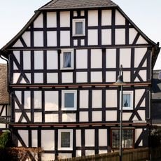
Wohnhaus
5.7 kmReviews
Visited this place? Tap the stars to rate it and share your experience / photos with the community! Try now! You can cancel it anytime.
Discover hidden gems everywhere you go!
From secret cafés to breathtaking viewpoints, skip the crowded tourist spots and find places that match your style. Our app makes it easy with voice search, smart filtering, route optimization, and insider tips from travelers worldwide. Download now for the complete mobile experience.

A unique approach to discovering new places❞
— Le Figaro
All the places worth exploring❞
— France Info
A tailor-made excursion in just a few clicks❞
— 20 Minutes