
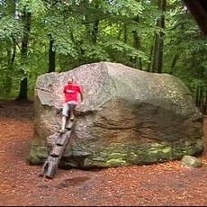
Rodewalder Lichtenheide, nature reserve in Lower Saxony, Germany
Location: Rodewald
Inception: 1985
GPS coordinates: 52.68640,9.41583
Latest update: April 8, 2025 07:49
Giebichenstein
9.1 km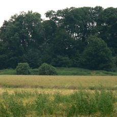
Burg Wölpe
11.3 km
Burg Rethem
11.2 km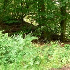
Brunsburg
9.2 km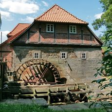
Wassermühle Laderholz
8.2 km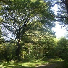
Krähenmoor
8.7 km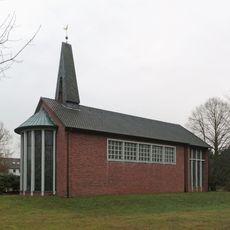
Heilige Familie (Rodewald)
4.6 km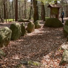
Großsteingrab Stöckse
9 km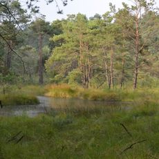
Moor in der Schotenheide
7.8 km
Kirche zum Heiligen Kreuz
10.7 km
St. Aegidien
5.8 km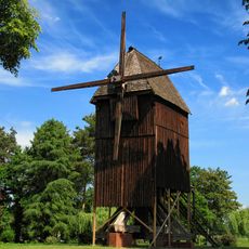
Rethem windmill
11 km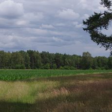
Rodewalder Wiehbuschwiesen
1.4 km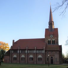
St.-Michaelis
10.5 km
Krähenmoor II
7.9 km
Marienkirche
11.3 km
Weißer Graben
3.9 km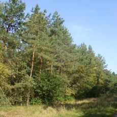
Bunkenmoor
10 km
Corvinus church
11.7 km
St. Pauli
10.7 km
St. Dionysii
3.7 km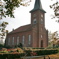
St.-Katharinen-Kirche
7.2 km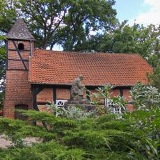
Kapelle Lutter
10.3 km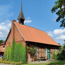
St.-Gertrud-Kapelle
10.9 km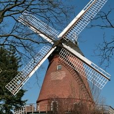
Holländerwindmühle Borstel
10.7 km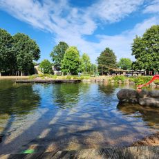
Naturbad Rodewald
4.9 km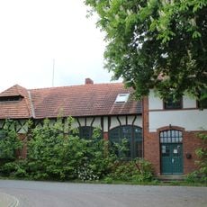
Empfangsgebäude
11 km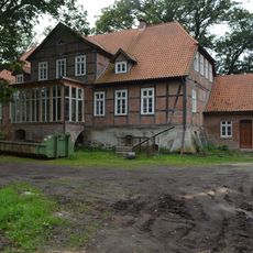
Zum Gutshof 1
9.9 kmReviews
Visited this place? Tap the stars to rate it and share your experience / photos with the community! Try now! You can cancel it anytime.
Discover hidden gems everywhere you go!
From secret cafés to breathtaking viewpoints, skip the crowded tourist spots and find places that match your style. Our app makes it easy with voice search, smart filtering, route optimization, and insider tips from travelers worldwide. Download now for the complete mobile experience.

A unique approach to discovering new places❞
— Le Figaro
All the places worth exploring❞
— France Info
A tailor-made excursion in just a few clicks❞
— 20 Minutes