
Rädigke, human settlement in Germany
Location: Rabenstein
Elevation above the sea: 89 m
GPS coordinates: 52.05417,12.62444
Latest update: June 4, 2025 06:33
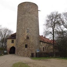
Castle Rabenstein
3.7 km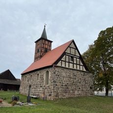
Dorfkirche Kranepuhl
5 km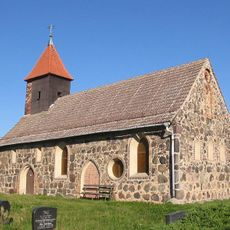
Evangelische Dorfkirche Garrey
4.6 km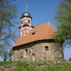
Zixdorf church
5 km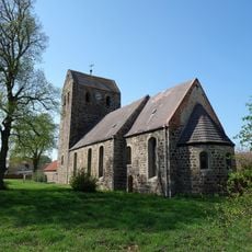
Church of the teutonic order in Dahnsdorf
6 km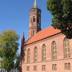
Niemegk church
5 km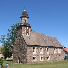
Raben church
3.5 km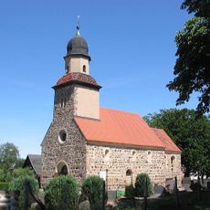
Grubo church
7.2 km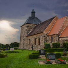
Bergholz church
7.3 km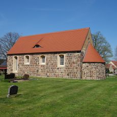
Village church Neuendorf (Fläming)
2.5 km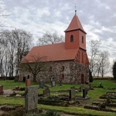
Dorfkirche Rädigke
158 m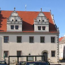
Niemegk town hall
5 km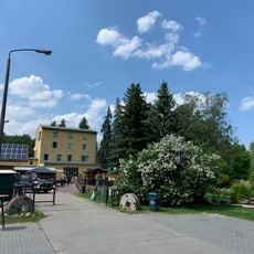
Komthurmühle
6.5 km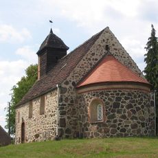
Klein Marzehns church
4.4 km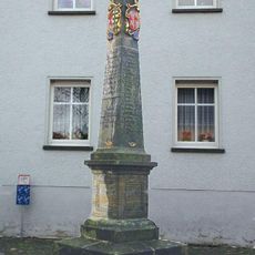
Polish-Saxon Post Milestone in Niemegk
4.9 km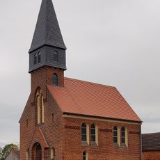
Dorfkirche Lühnsdorf
3.2 km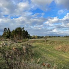
Schweinerummel
5.7 km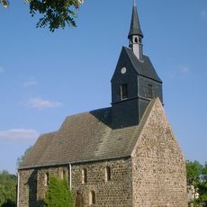
Dorfkirche
5.6 km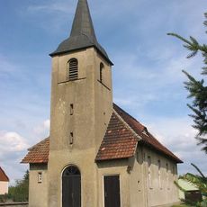
Dorfkirche Groß Marzehns
7.4 km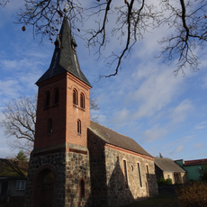
Dorfkirche Klepzig
7.2 km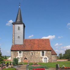
Lehnsdorf church
7.5 km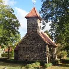
Protestant church Kerzendorf
8.5 km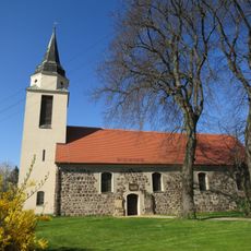
Protestant church Boßdorf
8.1 km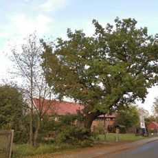
Naturdenkmal Eiche vor der Brennerei Raben
3.5 km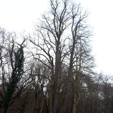
Naturdenkmal Geschwister-Linde
3.6 km
Zehrensdorfer Straße 55, Vorwerk Raben
5.5 km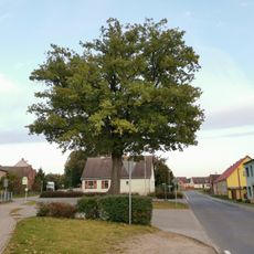
Naturdenkmal Eiche
4.4 km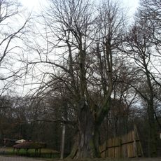
Naturdenkmal Linde
3.7 kmReviews
Visited this place? Tap the stars to rate it and share your experience / photos with the community! Try now! You can cancel it anytime.
Discover hidden gems everywhere you go!
From secret cafés to breathtaking viewpoints, skip the crowded tourist spots and find places that match your style. Our app makes it easy with voice search, smart filtering, route optimization, and insider tips from travelers worldwide. Download now for the complete mobile experience.

A unique approach to discovering new places❞
— Le Figaro
All the places worth exploring❞
— France Info
A tailor-made excursion in just a few clicks❞
— 20 Minutes