
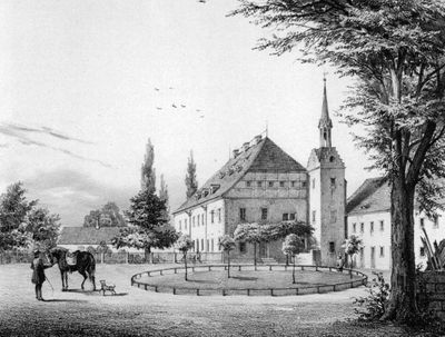
Schloss Ehrenberg, Medieval château in Kriebstein, Germany.
Schloss Ehrenberg is a castle on a hilltop in Kriebstein, Saxony, featuring stone walls and architectural elements from the 16th century. Various outbuildings from the original structure remain and form a connected area.
The first castle on this site was founded in 1563 after the land was separated from nearby Kriebstein Castle. The estate went through various changes over the centuries until it was revived in modern times.
The place now serves as a center for music and art, drawing visitors interested in contemporary culture. The rooms tell of a connection between history and modern creative life.
The castle is located at Lochmühlenstraße 8 in the Kriebstein district of Ehrenberg and can be reached via this road. Information about tours and events is available from the local municipal office or on-site.
An artist purchased the abandoned estate in the 2000s and transformed it into a cultural space without losing its historical features. This transformation shows how historic places can gain new purposes while preserving their past.
Location: Kriebstein
GPS coordinates: 51.04100,13.02210
Latest update: December 9, 2025 20:23

Kriebstein Castle
351 m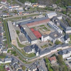
JVA Waldheim
3.8 km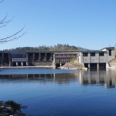
Talsperre Kriebstein
894 m
Raubschloss Ringethal
4.6 km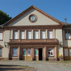
Bahnhof Waldheim
3.8 km
Ringethal church
4.3 km
Dorfkirche Rossau
4.6 km
St. Nicolai (Waldheim)
3.3 km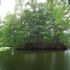
Wasserburg Ringethal
4.3 km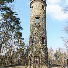
Wachbergturm
3 km
Kirche (mit Ausstattung) sowie Treppe, Mauer und Pflasterung des Kirchhofs Schönberger Straße -
3.3 km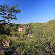
Talsperre Kriebstein
2.5 km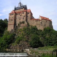
Einzeldenkmale der Sachgesamtheit Burg Kriebstein: Burganlage mit Zufahrtsbrücke, zwei Torpfeilern, Torhaus, Hauptgebäude, Wohnturm, Küchenbau, Brunnenhaus und Stützmauern (siehe auch Sachgesamtheitsliste - Obj. 09304820, gleiche Anschrift) Krieb
418 m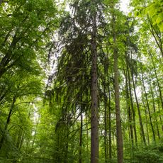
Sauergrasfichten Waldheim
3.4 km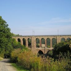
Viadukt Diedenmühle
4.5 km
Kirche Beerwalde
3 km
Sachgesamtheit Dorfkirche und Kirchhof Beerwalde, mit folgenden Einzeldenkmalen: Kirche, acht Grabmale (davon ein Gedenkstein) und Grabanlage der Familie Niethammer (siehe Einzeldenkmalliste - obj. 09237007) sowie Kirchhof und Einfriedungsmauer als S
3 km
Postmeilensäule in Waldheim
3.6 km
Alte Zschopaubrücke Waldheim
3.6 km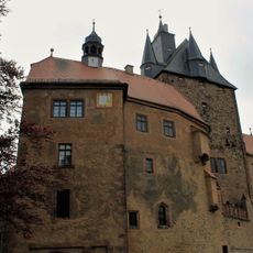
Museum Burg Kriebstein
369 m
Kirche, Kirchhof samt hoher Einfriedungsmauer, Denkmal für die Gefallenen des Ersten Weltkrieges und Gedenktafel 1870/71 an Ostmauer des Turms Mittlere Dorfstraße -
2.7 km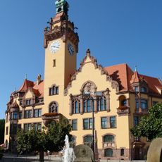
Rathaus Waldheim
3.6 km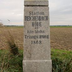
Station 98 Reichenbachhöhe
4.3 km
Lochmühle Erlebach (Kriebstein)
1.6 km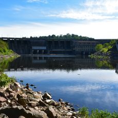
Unteres Zschopautal
4.4 km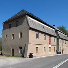
Drei Wohnhäuser (Nr. 8, 9, 15), ein Wohn- und Wirtschaftsgebäude (Nr. 10, 11, 12) und eine Scheune (Nr. 14) des Rittergutes Kriebstein Kriebsteiner Straße 8; 9; 10; 11; 12; 14; 15
624 m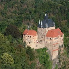
Kriebstein Castle
418 m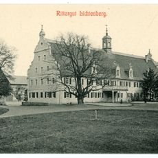
Herrenhaus eines ehemaligen Rittergutes sowie Reste des Gutsparks Am Rittergut 8; 9
3.4 kmVisited this place? Tap the stars to rate it and share your experience / photos with the community! Try now! You can cancel it anytime.
Discover hidden gems everywhere you go!
From secret cafés to breathtaking viewpoints, skip the crowded tourist spots and find places that match your style. Our app makes it easy with voice search, smart filtering, route optimization, and insider tips from travelers worldwide. Download now for the complete mobile experience.

A unique approach to discovering new places❞
— Le Figaro
All the places worth exploring❞
— France Info
A tailor-made excursion in just a few clicks❞
— 20 Minutes