
Stierstadt, municipal district of Oberursel in Hochtaunuskreis, Germany
Location: Oberursel (Taunus)
Elevation above the sea: 167 m
GPS coordinates: 50.18222,8.58306
Latest update: March 5, 2025 15:00
Burg Bommersheim
2.3 km
Krebsmühle
1.9 km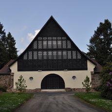
Alter Friedhof Oberursel
1.7 km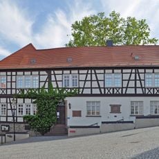
Vortaunusmuseum
2.3 km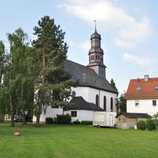
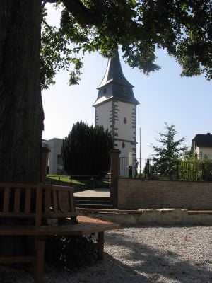
St. Aureus und Justina
2.2 km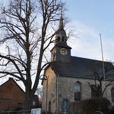
St. Georg (Steinbach)
1.8 km
Alte Post
2 km
Vorstadt 37
2.2 km
St. Crutzen
1 km
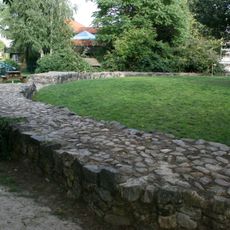
Rushmoor-Weiher
1.8 km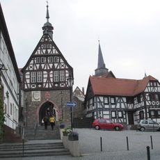
Gesamtanlage Altstadt
2.2 km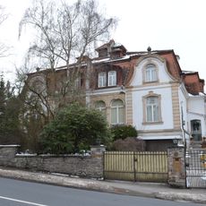
Oberhoechstadter Str. 41-43
1.7 km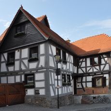
Haus Marktplatz 12/13
2.3 km
An der Heide 1
1.7 km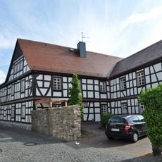
Hospitalstraße 9
2.2 km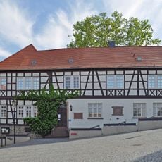
Ehem. Amtshaus
2.2 km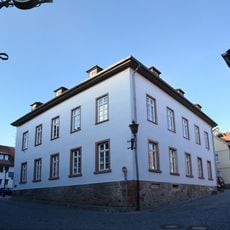
Hollerberg 10
2.2 km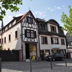
Haus Marktplatz 12
2.3 km
Gesamtanlage Bereich Damaschkestraße
1.5 km
Ehem. Brauhaus
2.2 km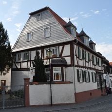
Haus Marktplatz 10
2.3 km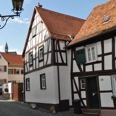
Haus St.-Ursula-Gasse 28
2.3 km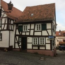
Haus St.-Ursula-Gasse 30
2.3 km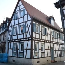
Haus Strackgasse 16
2.2 km
Korfstr. 4
2 km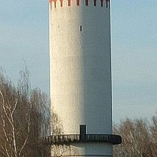
Wasserturm
1.3 km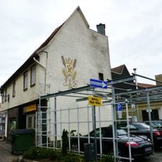
Haus Ackergasse 18
2.3 km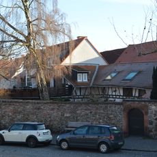
Hofmauer mit Einfahrt und Pforte
2.3 kmReviews
Visited this place? Tap the stars to rate it and share your experience / photos with the community! Try now! You can cancel it anytime.
Discover hidden gems everywhere you go!
From secret cafés to breathtaking viewpoints, skip the crowded tourist spots and find places that match your style. Our app makes it easy with voice search, smart filtering, route optimization, and insider tips from travelers worldwide. Download now for the complete mobile experience.

A unique approach to discovering new places❞
— Le Figaro
All the places worth exploring❞
— France Info
A tailor-made excursion in just a few clicks❞
— 20 Minutes