
Synagoge, building in Heilbronn, Stuttgart Government Region, Bade-Württemberg, Germany
Location: Heilbronn
Inception: 1827
GPS coordinates: 49.11790,9.18897
Latest update: March 3, 2025 02:47

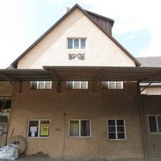
Rahmer-Mühle
552 m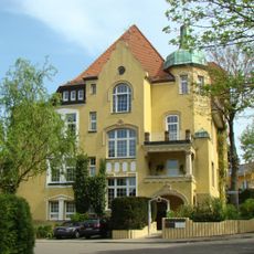
Villa Wolf
141 m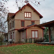
Bahnhof Heilbronn-Sontheim
759 m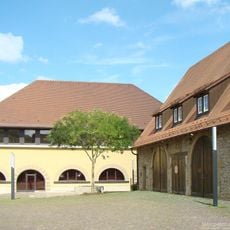
Deutschhof
154 m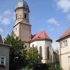
St.-Martins-Kirche
89 m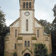
Matthäuskirche
89 m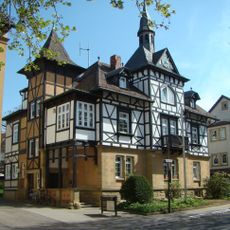
Ehemaliges Rathaus
253 m
Ackermann-Direktorenvilla
347 m
Sommerhaus des Deutschordens Heilbronn
335 m
Alter Friedhof
252 m
Horkheimer Straße 27
176 m
Methodistenkapelle
118 m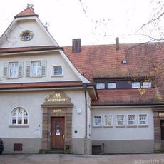
Ackermannstift
123 m
Kapelle zu unserer lieben Frau Bekümmernis
1.1 km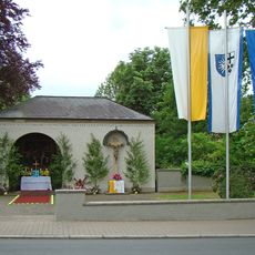
Kriegerdenkmal
252 m
Kirche im Dietrich-Bonhoeffer-Gemeindezentrum
1.3 km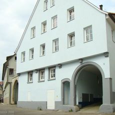
Görresstraße 6–10
101 m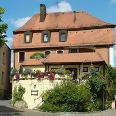
Hauptstraße 20
129 m
Haus Mändle
226 m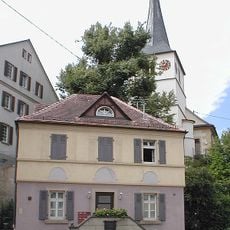
Bakehouse (Sontheim)
151 m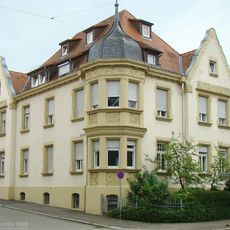
Kolpingstraße 18
542 m
Hauptstraße 23
112 m
Klingenberger Straße 153 und 155
1.2 km
Görresstraße 9 und 11
113 m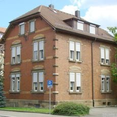
Kolpingstraße 16
513 m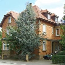
Kolpingstraße 14
490 m
St.-Martins-Kirche
93 m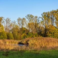
Neckaraue südlich Heilbronn
834 mReviews
Visited this place? Tap the stars to rate it and share your experience / photos with the community! Try now! You can cancel it anytime.
Discover hidden gems everywhere you go!
From secret cafés to breathtaking viewpoints, skip the crowded tourist spots and find places that match your style. Our app makes it easy with voice search, smart filtering, route optimization, and insider tips from travelers worldwide. Download now for the complete mobile experience.

A unique approach to discovering new places❞
— Le Figaro
All the places worth exploring❞
— France Info
A tailor-made excursion in just a few clicks❞
— 20 Minutes