
Tunsel, quarter of Bad Krozingen, Baden-Württemberg, Germany
Location: Bad Krozingen
Elevation above the sea: 223 m
GPS coordinates: 47.90340,7.66987
Latest update: March 15, 2025 10:14
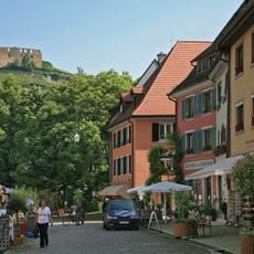
Burg Staufen
5.4 km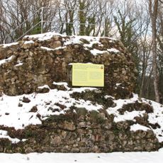
Burgrest Kastelberg, Ballrechten-Dottingen
6.4 km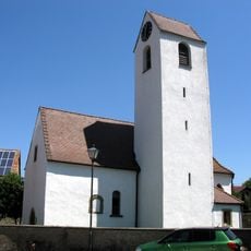
St. Arbogast
5.3 km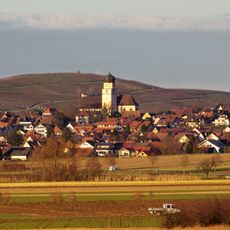
St. Mariä Himmelfahrt
5.8 km
Alte Mühle Oberdottingen
5.9 km
St. Georgskirche
6.4 km
Luther Church (Staufen im Breisgau)
5.3 km
Glöcklehofkapelle
3.1 km
Große Moschee, Buggingen
6.3 km
Schloss Kirchhofen
6 km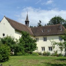
Johanneskapelle
6 km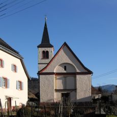
St. Agatha
5.3 km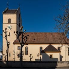
St. Martin Church
3.9 km
Magdalenenkapelle
4.6 km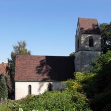
St. Sebastian
2.3 km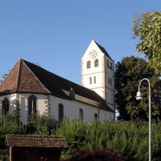
Evangelische Kirche Betberg
5.6 km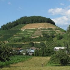
Kastelberg
6.3 km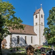
St. Vitus
4 km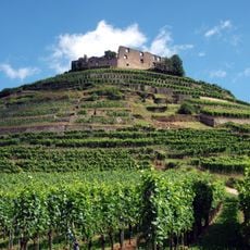
Schloßberg Staufen
5 km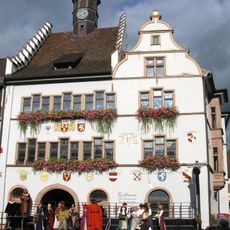
Rathaus
5.2 km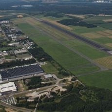
Flugplatz Bremgarten
3.3 km
Krozinger und Schlatter Berg
1.8 km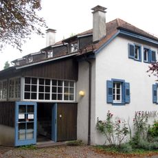
Staufen Ceramics Museum
5.1 km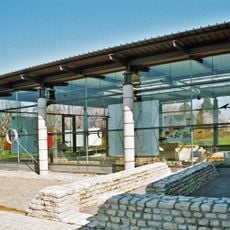
Römermuseum (Heitersheim)
3.8 km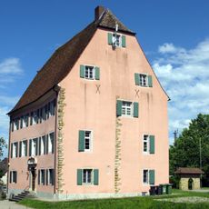
Eschbacher Castell
1.9 km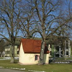
3 Sommerlinden bei der Schächerkapelle
5.9 km
Eisenbahnbrücke über den Neumagen bei Staufen im Breisgau
4.9 km
St. Peter und Paul
4.8 kmReviews
Visited this place? Tap the stars to rate it and share your experience / photos with the community! Try now! You can cancel it anytime.
Discover hidden gems everywhere you go!
From secret cafés to breathtaking viewpoints, skip the crowded tourist spots and find places that match your style. Our app makes it easy with voice search, smart filtering, route optimization, and insider tips from travelers worldwide. Download now for the complete mobile experience.

A unique approach to discovering new places❞
— Le Figaro
All the places worth exploring❞
— France Info
A tailor-made excursion in just a few clicks❞
— 20 Minutes