
Wenings, human settlement in Germany
Location: Gedern
Elevation above the sea: 339 m
GPS coordinates: 50.38530,9.19694
Latest update: March 19, 2025 00:15
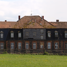
Jagdschloss Zwiefalten
7.9 km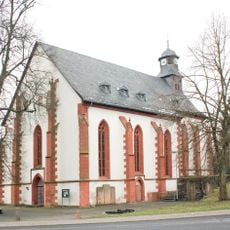
Evangelische Kirche Hirzenhain
4.5 km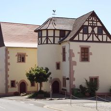
Burg Moritzstein
102 m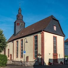
Evangelische Kirche Wenings
45 m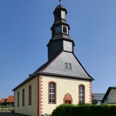
Evangelische Kirche Burgbracht
4.9 km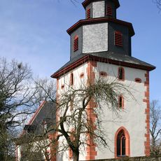
Church of Wolferborn
5.8 km
Synagoge (Ober-Seemen)
4.6 km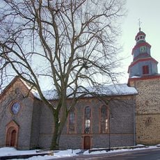
Evangelische Kirche Gedern
4.3 km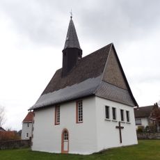
Evangelische Kirche (Unter-Lais)
7.7 km
Evangelische Kirche Bindsachsen
4.1 km
Kirche Maria Königin des Friedens (vorm. Synagoge, Wenings)
127 m
Michaeliskirche
4.3 km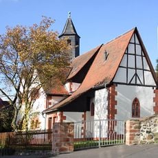
Church of Rinderbügen
7.7 km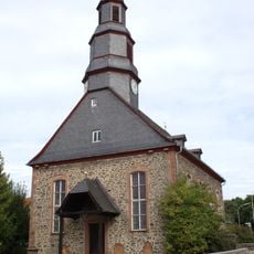
Evangelische Kirche Kefenrod
4.6 km
St. Laurentius (Usenborn)
6.1 km
Nikolauskirche Kirchbracht
6.2 km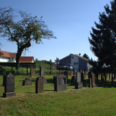
Jewish cemeteries in Gedern
4.8 km
Synagoge Gedern
5 km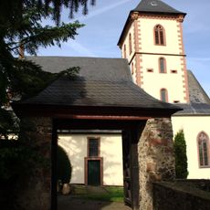
Evangelische Kirche Hitzkirchen
6.2 km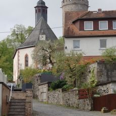
Protestant Church
8 km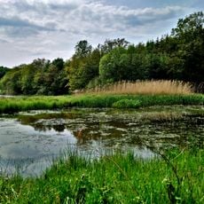
Naturschutzgebiet Talauen von Nidder und Hillersbach bei Gedern und Burkhards
4.7 km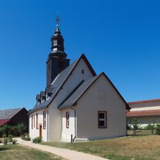
Protestant Church
4.7 km
Evangelische Kirche
3.4 km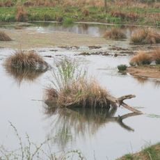
Naturschutzgebiet Graf-Dietrichs-Weiher bei Fischborn
6.8 km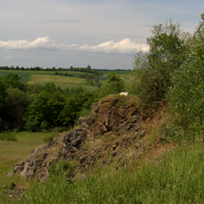
Naturschutzgebiet Basaltsteinbruch bei Glashütten
5.3 km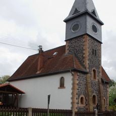
St. Simon-Judae Kirche (Usenborn)
6.2 km
Basaltsteinbruch Glashütten
5.3 km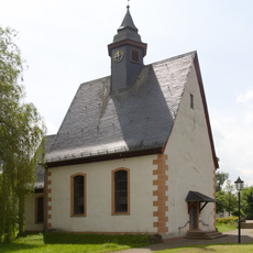
Evangelische Kirche
3.4 kmVisited this place? Tap the stars to rate it and share your experience / photos with the community! Try now! You can cancel it anytime.
Discover hidden gems everywhere you go!
From secret cafés to breathtaking viewpoints, skip the crowded tourist spots and find places that match your style. Our app makes it easy with voice search, smart filtering, route optimization, and insider tips from travelers worldwide. Download now for the complete mobile experience.

A unique approach to discovering new places❞
— Le Figaro
All the places worth exploring❞
— France Info
A tailor-made excursion in just a few clicks❞
— 20 Minutes