
Windsfeld, human settlement in Germany
Location: Dittenheim
Elevation above the sea: 415 m
GPS coordinates: 49.07610,10.79780
Latest update: March 6, 2025 10:14

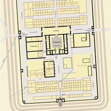
Castrum Iciniacum
3.9 km
Gelbe Bürg
4.8 km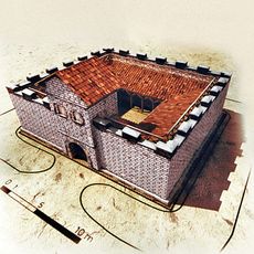
Kleinkastell Gunzenhausen Hinterer Schlossberg
4.7 km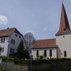
Evangelisch-lutherische Kirche Sankt Laurentius
4.3 km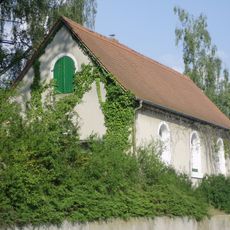
Jewish cemetery, Gunzenhausen
4.8 km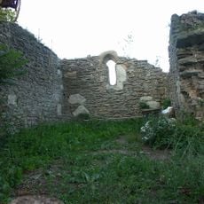
Holy Cross Chapel
3.1 km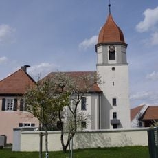
St. Emmeram
4.2 km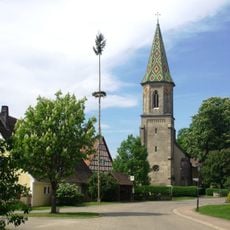
St. Michael
3.1 km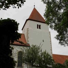
St. Bartholomew (Gundelsheim)
2.8 km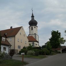
Saints Peter and Paul Church
2.2 km
St. Michael Church
4.4 km
Saint Michael Church
2.5 km
Kapelle (Frickenfelden)
4.7 km
St. Gangolf
112 m
St. Hieronymus
4.1 km
St. Wolfgang
3.3 km
St. Agatha
4 km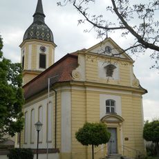
Markgrafenkirche zum Heiligen Kreuz
4.1 km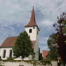
Evangelisch-lutherische Filialkirche St. Michael
2.4 km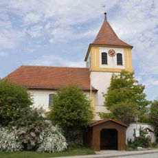
Evangelisch-lutherische Kirche St. Georg
2.1 km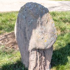
Steinkreuz bei Theilenhofen
4.4 km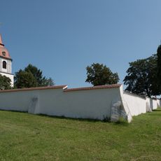
Friedhofsmauer Unterasbach 100 in Gunzenhausen
2.5 km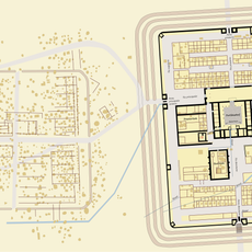
Erdkastell Theilenhofen
3.7 km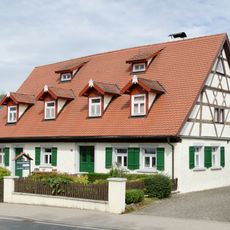
Ehemaliges Bauernhaus
3.9 km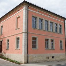
Ehemaliges Schulhaus
3.9 km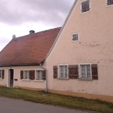
Bauernhaus
4.2 km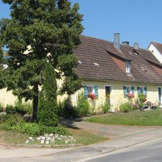
Ehemaliges Bauernhaus
4 km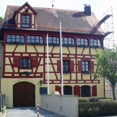
Ehemaliger Speicherbau, Scheune, ab 1820 Gerberei, seit 1989 Heimatstuben Weipert und Erzgebirgsschau
4.9 kmReviews
Visited this place? Tap the stars to rate it and share your experience / photos with the community! Try now! You can cancel it anytime.
Discover hidden gems everywhere you go!
From secret cafés to breathtaking viewpoints, skip the crowded tourist spots and find places that match your style. Our app makes it easy with voice search, smart filtering, route optimization, and insider tips from travelers worldwide. Download now for the complete mobile experience.

A unique approach to discovering new places❞
— Le Figaro
All the places worth exploring❞
— France Info
A tailor-made excursion in just a few clicks❞
— 20 Minutes