
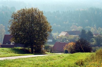
Obererlbach, human settlement in Germany
Location: Haundorf
Elevation above the sea: 400 m
GPS coordinates: 49.18540,10.82860
Latest update: March 8, 2025 18:48
Rieterkirche
1.7 km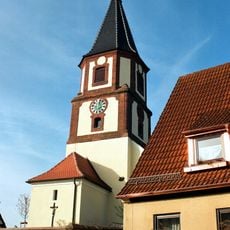
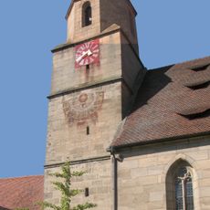
St. Wenzeslaus
3.4 km
Wolfskreuz bei Gräfensteinberg
3.7 km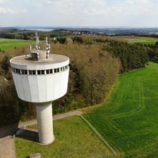
Wasserturm Gräfensteinberg
3.7 km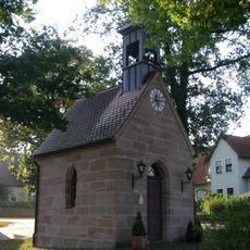
St. Marien (Winkelhaid)
3 km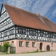
Gasthaus Lamm
1.7 km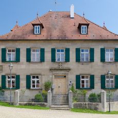
Pfarrhof (Kalbensteinberg)
1.7 km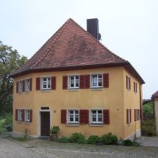
Ältestes Pfarrhaus
1.7 km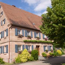
Bauernhaus
3.2 km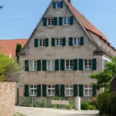
Bauernhaus und ehemalige Brauerei
1.7 km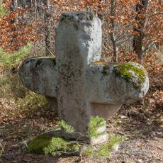
Steinkreuz bei Obererlbach 2
1.5 km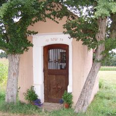
Wegkapelle
3.6 km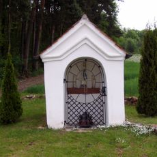
Wegkapelle
3.3 km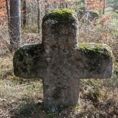
Steinkreuz bei Obererlbach 3
1.5 km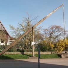
Ziehbrunnen
3.9 km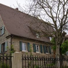
Bauernhaus
3.9 km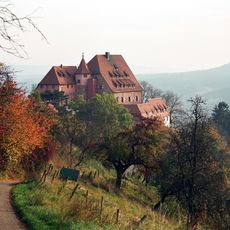
Burg Wernfels, Burggrafenveste
3.9 km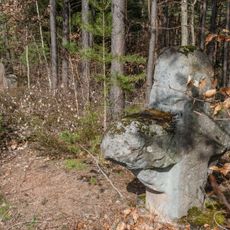
Steinkreuze bei Obererlbach
1.5 km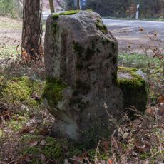
Steinkreuz bei Obererlbach 1
1.5 km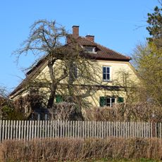
Forsthaus
3.2 km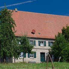
Bauernhaus
3.8 km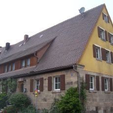
Bauernhaus eines Dreiseithofes
1.6 km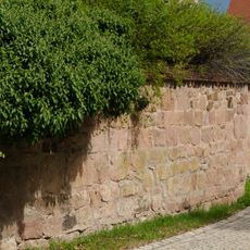
Friedhofsmauer Kalbensteinberg 63 in Absberg
1.7 km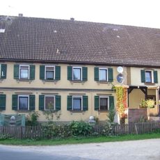
Bauernhaus
3.2 km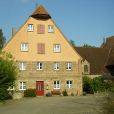
Bauernhaus mit Nebengebäude
3.2 km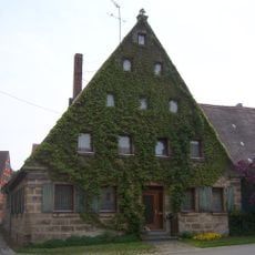
Bauernhaus
1.7 km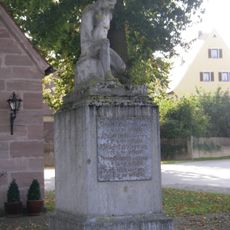
Kriegerdenkmal für den Ersten Weltkrieg
3 km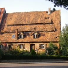
Wohnstallhaus
3 kmReviews
Visited this place? Tap the stars to rate it and share your experience / photos with the community! Try now! You can cancel it anytime.
Discover hidden gems everywhere you go!
From secret cafés to breathtaking viewpoints, skip the crowded tourist spots and find places that match your style. Our app makes it easy with voice search, smart filtering, route optimization, and insider tips from travelers worldwide. Download now for the complete mobile experience.

A unique approach to discovering new places❞
— Le Figaro
All the places worth exploring❞
— France Info
A tailor-made excursion in just a few clicks❞
— 20 Minutes