
Buchner Weiher, lake in Germany
Location: Bad Tölz-Wolfratshausen
Elevation above the sea: 634 m
GPS coordinates: 47.77703,11.48397
Latest update: April 27, 2025 12:59

St. Kilian
4.2 km
Burgstall Hoheneck
4.2 km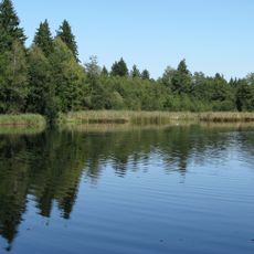
Schönauer Weiher
3.7 km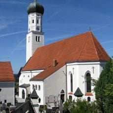
St. Laurentius (Königsdorf)
4.4 km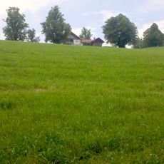
Buchberg (Kocheler Berge)
3.2 km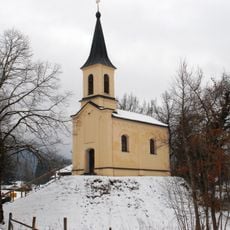
Kapelle
4.8 km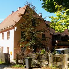
Gasthaus Bierhäusl
3.7 km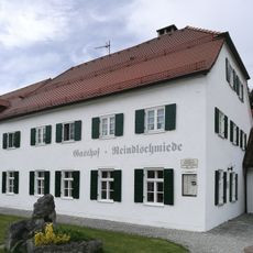
Gasthaus Reindlschmiede
4.2 km
St. Michael
4.4 km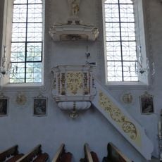
Pulpit of St. Kilian (Bad Heilbrunn)
4.2 km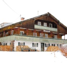
Seppenhof
4.2 km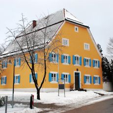
Pfarrhaus
4.1 km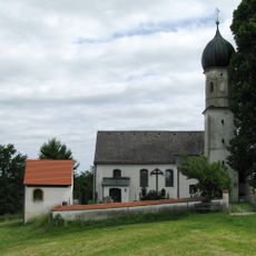
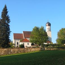
St. Maria
1 km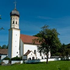
St. Johann Baptist
2.5 km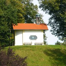
St. Antonius
2.4 km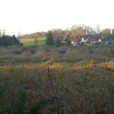
Landschaftsschutzgebiet Auerfilz mit Karpfseen
4 km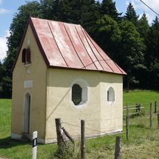
Wegkapelle
3.4 km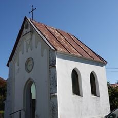
Weilerkapelle
3 km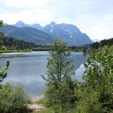
Oberes Isartal
4.3 km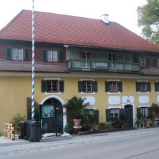
Ehemalige Sägemühle, sogenanntes Hanfstängl-Haus
4.7 km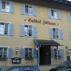
Gasthof Zollhaus
4.8 km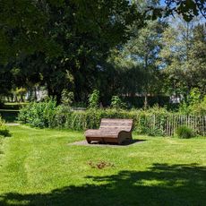
Kräutererlebnispark
3.7 km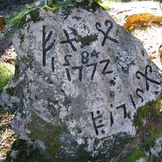
Grenzstein
3.3 km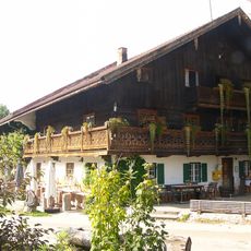
Gasthof
2.7 km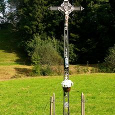
Wegkreuz
2.7 km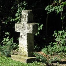
Gedenkkreuz
2.8 km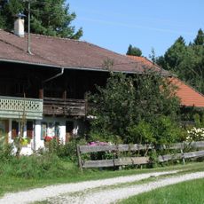
Mühle
3.5 km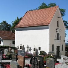
St. Michael
4.4 kmReviews
Visited this place? Tap the stars to rate it and share your experience / photos with the community! Try now! You can cancel it anytime.
Discover hidden gems everywhere you go!
From secret cafés to breathtaking viewpoints, skip the crowded tourist spots and find places that match your style. Our app makes it easy with voice search, smart filtering, route optimization, and insider tips from travelers worldwide. Download now for the complete mobile experience.

A unique approach to discovering new places❞
— Le Figaro
All the places worth exploring❞
— France Info
A tailor-made excursion in just a few clicks❞
— 20 Minutes