
Mainbrücke Wiesen, bridge in Germany
Location: Bad Staffelstein
Inception: 2014
GPS coordinates: 50.09722,10.96222
Latest update: March 6, 2025 21:16

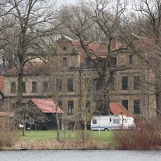
Oberau
1.7 km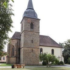
St. Andreas
842 m
Kapelle
2.5 km
Mönchshof
2.4 km
Pfarrkirche
2.5 km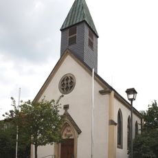
Katholisch
2.1 km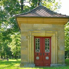
Hainkapelle
2.5 km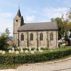
Katholisch
1 km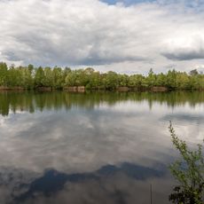
Mainaue bei Oberau
1.2 km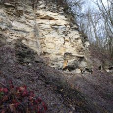
Prallhang des Mains SW von Nedensdorf (Trimeusel)
1.8 km
Cultural heritage D-4-78-165-47 in Bad Staffelstein
2.6 km
Wohnhaus
2.6 km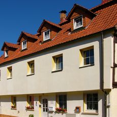
Wohnhaus
2.6 km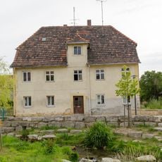
Krankenhaus
2.6 km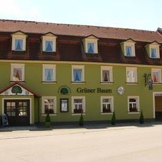
Gasthaus
2.6 km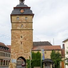
Torturm
2.6 km
Wohnhaus
2.5 km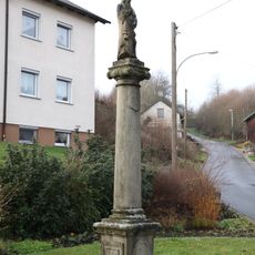
Bildstock
2 km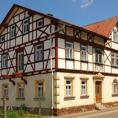
Bamberger Straße 34
2.5 km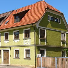
Wohnhaus
2.5 km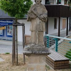
Statue
2.6 km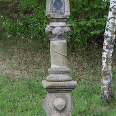
Bildstock
1.2 km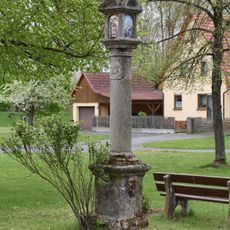
Bildstock
839 m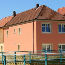
Wohnhaus
2.6 km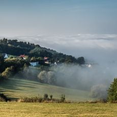
Eierberge bei Banz und Teile des Banzer Waldes
2.6 km
Wohnhaus
2.1 km
Mühle
2.6 km
Wohnhaus
804 mReviews
Visited this place? Tap the stars to rate it and share your experience / photos with the community! Try now! You can cancel it anytime.
Discover hidden gems everywhere you go!
From secret cafés to breathtaking viewpoints, skip the crowded tourist spots and find places that match your style. Our app makes it easy with voice search, smart filtering, route optimization, and insider tips from travelers worldwide. Download now for the complete mobile experience.

A unique approach to discovering new places❞
— Le Figaro
All the places worth exploring❞
— France Info
A tailor-made excursion in just a few clicks❞
— 20 Minutes