
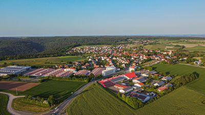
Strümpfelbrunn, quarter of Waldbrunn, Baden-Württemberg, Germany
Location: Waldbrunn
Elevation above the sea: 520 m
GPS coordinates: 49.46419,9.07817
Latest update: March 5, 2025 15:15
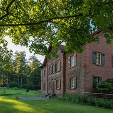
Jagdschloss Max-Wilhelmshöhe
3 km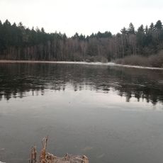
Mülbener See
2.7 km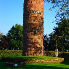
Hindenburgsäule
687 m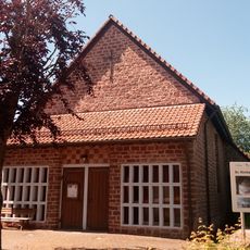
Evangelische Kirche Weisbach
2.7 km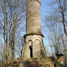
Katzenbuckel-Tower
2.7 km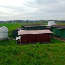
Sternwarte Weisbach
2.5 km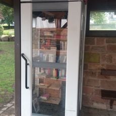
Public bookcase Mülben
1.4 km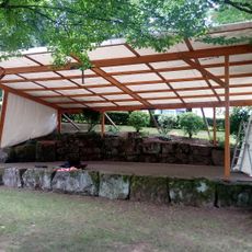
Naturbühne
1.5 km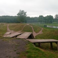
Katzenbuckel Bikepark
2.2 km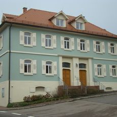
Evangelisches Pfarrhaus Schollbrunn (Waldbrunn)
3.1 km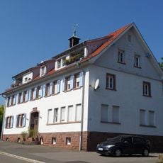
Rathaus Waldkatzenbach
1.8 km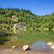
Winterhauch-Katzenbuckel
2.6 km
Forstrat-Hepp-Linde
2.4 km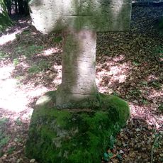
Sühnekreuz
2.5 km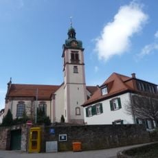
Pfarrkirche St. Maria
24 m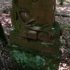
Markgraf-Berthold-Stein
3 km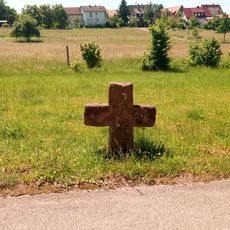
Sühnekreuz
2.6 km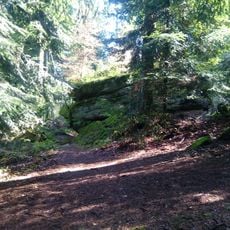
Felsenhaus
2.7 km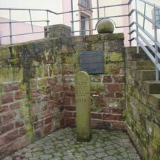
Pranger
10 m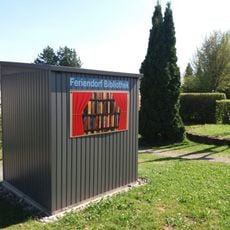
Feriendorf Bibliothek
1.6 km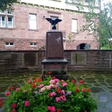
Kriegerdenkmal Mülben
1.4 km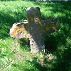
Sühnekreuz
2.9 km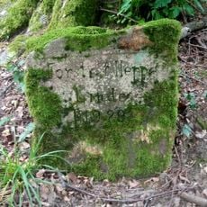
Gedenkstein Forstrat-Hepp-Linde
2.4 km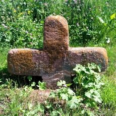
Sühnekreuz
3.1 km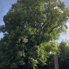
1 Linde "Alte Linde"
1.5 km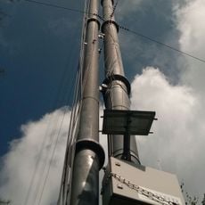
Windmessmast Waldbrunn
2.5 km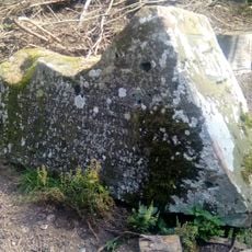
Forstmeister-Wetzel-Stein
2.4 km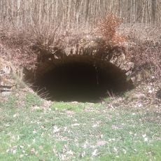
Erdkeller Oberhöllgrund
1.5 kmReviews
Visited this place? Tap the stars to rate it and share your experience / photos with the community! Try now! You can cancel it anytime.
Discover hidden gems everywhere you go!
From secret cafés to breathtaking viewpoints, skip the crowded tourist spots and find places that match your style. Our app makes it easy with voice search, smart filtering, route optimization, and insider tips from travelers worldwide. Download now for the complete mobile experience.

A unique approach to discovering new places❞
— Le Figaro
All the places worth exploring❞
— France Info
A tailor-made excursion in just a few clicks❞
— 20 Minutes