
Von-der-Helm-Straße 198
Von-der-Helm-Straße 198, building in Germany
Location: Mönchengladbach
Part of: Odenkirchen
GPS coordinates: 51.12846,6.43980
Latest update: April 9, 2025 23:12

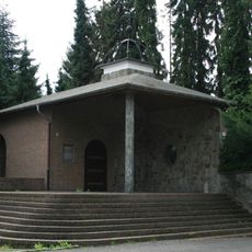
Kapelle Wetschewell
1 km
Evangelic church Odenkirchen
1.1 km
Schule Odenkirchen
909 m
Industrie- und Handelskammer Mönchengladbach
281 m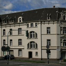
Von-der-Helm-Straße 2
835 m
Schmidt-Bleibtreu-Straße 49
994 m
Wilhelm-Niessen-Straße 9
1 km
Wingertsplatz 1
1.1 km
Brüderstraße 2
879 m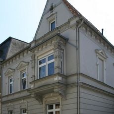
Wilhelm-Niessen-Straße 5
1.1 km
Schmidt-Bleibtreu-Straße 32
1.1 km
Schmidt-Bleibtreu-Straße 4
909 m
Jülicher Straße 10
553 m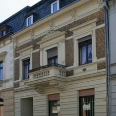
Wilhelm-Niessen-Straße 7
1.1 km
Schmidt-Bleibtreu-Straße 22
1.1 km
Wilhelm-Niessen-Straße 13
1.1 km
Winkelner Straße 6
1.1 km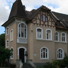
Jülicher Straße 18
586 m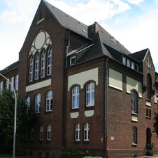
Wiedemannstraße 42–48
611 m
Schmidt-Bleibtreu-Straße 40
1 km
Schmidt-Bleibtreu-Straße 35
1.1 km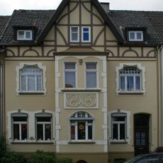
Jülicher Straße 20
619 m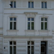
Schmidt-Bleibtreu-Straße 28
1.1 km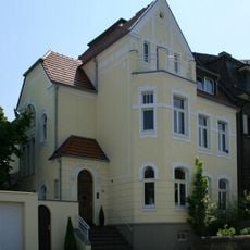
Schmidt-Bleibtreu-Straße 46
1 km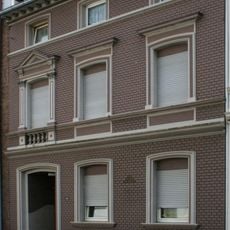
Schmidt-Bleibtreu-Straße 38
1 km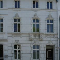
Schmidt-Bleibtreu-Straße 30
1.1 km
Güdderath 32
383 m
Schmidt-Bleibtreu-Straße 24
1.1 kmReviews
Visited this place? Tap the stars to rate it and share your experience / photos with the community! Try now! You can cancel it anytime.
Discover hidden gems everywhere you go!
From secret cafés to breathtaking viewpoints, skip the crowded tourist spots and find places that match your style. Our app makes it easy with voice search, smart filtering, route optimization, and insider tips from travelers worldwide. Download now for the complete mobile experience.

A unique approach to discovering new places❞
— Le Figaro
All the places worth exploring❞
— France Info
A tailor-made excursion in just a few clicks❞
— 20 Minutes