
Krankenhaus Maria Hilf, hospital
Location: Mönchengladbach
Address: Sandradstraße 43–47, 41061 Mönchengladbach
GPS coordinates: 51.19746,6.43045
Latest update: March 5, 2025 19:52

Staufenstraße 20
173 m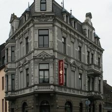
Viersener Straße 51
93 m
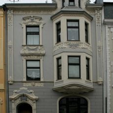
Ferdinandstraße 10
50 m
Ferdinandstraße 17
68 m
Ferdinandstraße 1
66 m
Ferdinandstraße 12
33 m
Ferdinandstraße 2
96 m
Parkstraße 19
104 m
Staufenstraße 12
146 m
Ferdinandstraße 4
68 m
Ferdinandstraße 8
45 m
Staufenstraße 27
181 m
Staufenstraße 17
141 m
Staufenstraße 22
180 m
Staufenstraße 19
151 m
Ferdinandstraße 10a
30 m
Parkstraße 26
153 m
Sandradstraße 22
68 m
Ferdinandstraße 6
31 m
Staufenstraße 4
120 m
Staufenstraße 18
171 m
Ferdinandstraße 15
85 m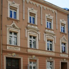
Ferdinandstraße 16
22 m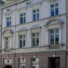
Ferdinandstraße 13
62 m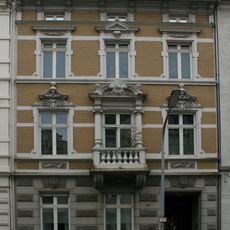
Staufenstraße 21
155 m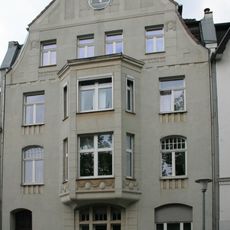
Benediktinerstraße 17
123 m
Ferdinandstraße 14
13 m
Staufenstraße 25
171 mReviews
Visited this place? Tap the stars to rate it and share your experience / photos with the community! Try now! You can cancel it anytime.
Discover hidden gems everywhere you go!
From secret cafés to breathtaking viewpoints, skip the crowded tourist spots and find places that match your style. Our app makes it easy with voice search, smart filtering, route optimization, and insider tips from travelers worldwide. Download now for the complete mobile experience.

A unique approach to discovering new places❞
— Le Figaro
All the places worth exploring❞
— France Info
A tailor-made excursion in just a few clicks❞
— 20 Minutes