
Richelbach, human settlement in Germany
Location: Neunkirchen
Elevation above the sea: 290 m
Shares border with: Neunkirchen, Hundheim, Steinbach, Riedern, Eichenbühl, Umpfenbach
GPS coordinates: 49.68990,9.39850
Latest update: March 5, 2025 22:21
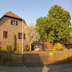
Schloss
2.3 km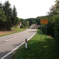
Tiefental
2.2 km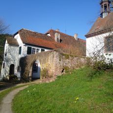
Breitenau
4.3 km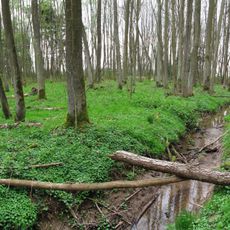
Erlenwald Röte - Strüt
2.4 km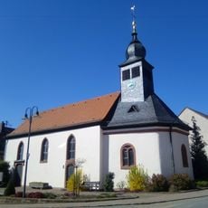
St. Leonhard
3.9 km
Hinterer Meßhof
3.4 km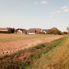
Vorderer Meßhof
4 km
Birkhof
3.3 km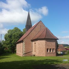
Friedenskirche
4.4 km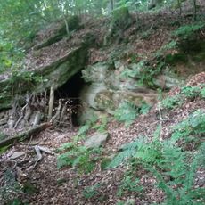
Zigeunerhöhle SE von Heppdiel
4.2 km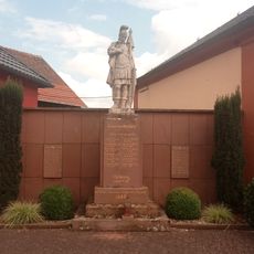
Kriegerdenkmal
4 km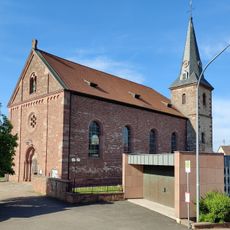
Kirche
1.9 km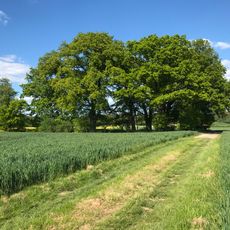
Naturdenkmal Eichenhain Hochäcker
2.2 km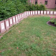
Kriegerdenkmal
4.3 km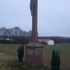
Wegkreuz
2.1 km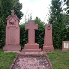
Kriegerdenkmal
4.3 km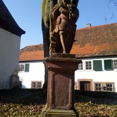
Carolusstandbild
4.3 km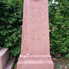
Kriegerdenkmal
4.3 km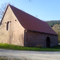
Fruchtscheune Breitenau
4.3 km
Hofkapelle
4 km
Waldkapelle
4.2 km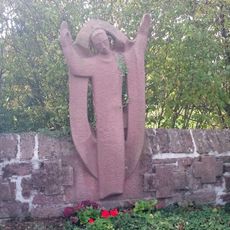
Kriegerdenkmal
4.2 km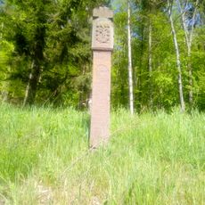
Bildstock
3.3 km
Naturdenkmal 1 Esche Otterbacher Weg
4.4 km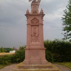
Kriegerdenkmal für die gefallenen badischen Soldaten bei Hundheim
4.4 km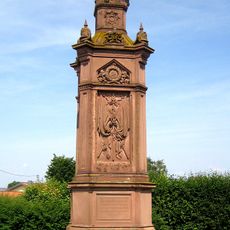
Kriegerdenkmal
4.4 km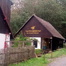
Bio-Imkerei Willared
4.4 km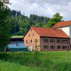
Spritzenmühle
4.3 kmReviews
Visited this place? Tap the stars to rate it and share your experience / photos with the community! Try now! You can cancel it anytime.
Discover hidden gems everywhere you go!
From secret cafés to breathtaking viewpoints, skip the crowded tourist spots and find places that match your style. Our app makes it easy with voice search, smart filtering, route optimization, and insider tips from travelers worldwide. Download now for the complete mobile experience.

A unique approach to discovering new places❞
— Le Figaro
All the places worth exploring❞
— France Info
A tailor-made excursion in just a few clicks❞
— 20 Minutes